Ashley in Delaware County, Ohio — The American Midwest (Great Lakes)
"Historic Ashley"
Photographed by Craig Doda, November 24, 2023
1. "Historic Ashley" Marker
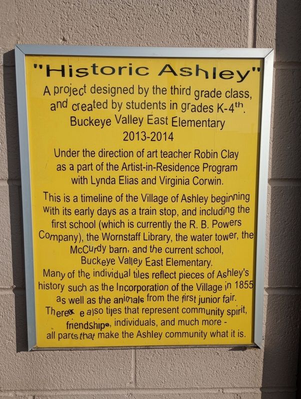
A project designed by the third grade class, and created by students in grades K-4th, Buckeye Valley East Elementary 2013 - 2014.
Under the direction of art teacher Robin Clay as a part of the Artist-in-Residence Program with Lynda Elias and Virginia Corwin.
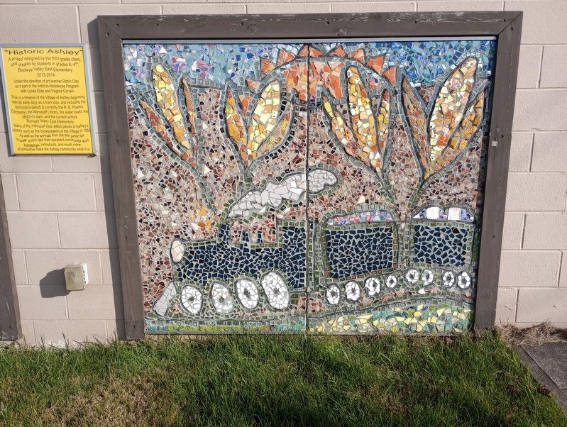
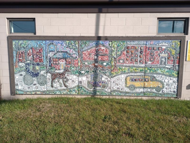
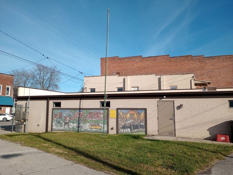
This is a timeline of the Village of Ashley beginning With its early days as a train stop, and including the first school (which is currently the R. B. Powers Company), the Wornstaff Library, the water tower, the McCurdy barn, and the current school, Buckeye Valley East Elementary.
Many of the individual tiles reflect pieces of Ashley's history such as the Incorporation of the Village in 1855 as well as the animals from the first junior fair. There are also ties that represent community spirit, friendship, individuals, and much more - all parts that make the Ashley community what it is.
Erected 2014.
Topics. This historical marker is listed in these topic lists: Notable Places • Railroads & Streetcars • Settlements & Settlers. A significant historical year for this entry is 1855.
Location. 40° 24.534′ N, 82° 57.273′ W. Marker is in Ashley, Ohio,
this page online

Regionally, this marker is in the Scioto Valley and in the Columbus Metropolitan Area. It is also in the American Midwest and in the Corn Belt. Globally, it is in North America, the Western Hemisphere, the Western World, and the Anglosphere. Historically, it finds itself in what was once the Haudenosaunee (Iroquois) Confederacy, the territory of the Mississippian Culture, and the Northwest Territory.
Other nearby markers. At least 8 other markers are within 7 miles of this marker, measured as the crow flies: Welch House (within shouting distance of this marker); History of Alum Creek Friends Settlement / Alum Creek Friends and the Underground Railroad (approx. 5 miles away); Brown Township Hall Veterans Memorial Grove (approx. 5.4 miles away); Brown School Acorn & Columns (approx. 5.4 miles away); "The Eden Bell" (approx. 5.4
Photographed by Craig Doda, November 24, 2023
2. "Historic Ashley" Marker
Photographed by Craig Doda, November 24, 2023
3. "Historic Ashley" Marker
Photographed by Craig Doda, November 24, 2023
4. "Historic Ashley" Marker
Credits. This page was last revised on July 17, 2025. It was originally submitted on November 26, 2023, by Craig Doda of Napoleon, Ohio. This page has been viewed 860 times since then and 63 times this year. Photos: 1, 2, 3, 4. submitted on November 26, 2023, by Craig Doda of Napoleon, Ohio. • Devry Becker Jones was the editor who published this page.
