Cardington Township in Morrow County, Ohio — The American Midwest (Great Lakes)
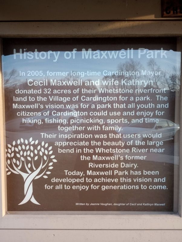
History of Maxwell Park
Their inspiration was that users would appreciate the beauty of the large bend in the Whetstone River near the Maxwell's former Riverside Dairy.
Today, Maxwell Park has been developed to achieve this vision and for all to enjoy for generations to come.
Erected by Jeanne Vaughan.
Topics. This historical marker is listed in this topic list: Parks & Recreational Areas. A significant historical year for this entry is 2005.
Location. 40° 29.993′ N, 82° 53.261′ W. Marker is in Cardington, Ohio, in Morrow County. It is in Cardington Township. Marker is on East Main Street, on the right when traveling east. Touch for map. Marker is in this post office area: Cardington OH 43315, United States of America. Touch for directions.
Other nearby markers. At least 8 other markers are within 5 miles of this marker, measured as the crow flies. Cardington Veterans Memorial (approx. 0.4 miles away); Edison (approx. 3.9 miles away); a different marker also named Edison (approx. 4.2 miles away); World War I Memorial (approx. 4.6 miles away); Dawn Powell (approx. 4.6 miles away); Morrow County War Memorial (approx. 4.7 miles away); War Savings Quota (approx. 4.7 miles away); D.A.R. Revolutionary Soldiers Memorial (approx. 4.7 miles away).
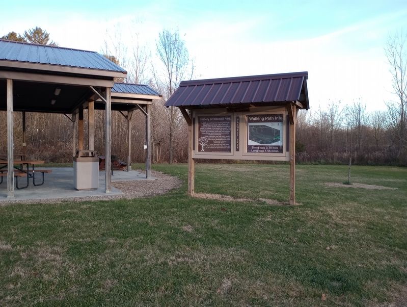
More about this marker. The marker is in Maxwell Park by the parking area.
Credits. This page was last revised on November 27, 2023. It was originally submitted on November 26, 2023, by Craig Doda of Napoleon, Ohio. This page has been viewed 72 times since then and 40 times this year. Photos: 1, 2, 3. submitted on November 26, 2023, by Craig Doda of Napoleon, Ohio. • Andrew Ruppenstein was the editor who published this page.


