Wauwatosa in Milwaukee County, Wisconsin — The American Midwest (Great Lakes)
Milwaukee County's First Airport
Photographed by Greta Schassler, August 26, 2023
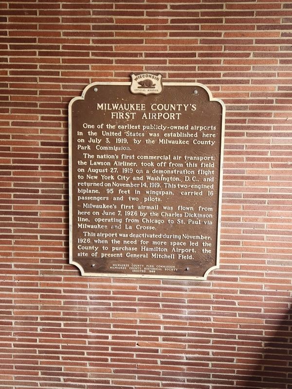
1. Milwaukee County's First Airport Marker
The marker was moved inside of the Club House.
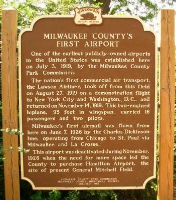
One of the earliest publicly–owned airports in the United State was established here on July 3, 1919, by the Milwaukee County Park Commission.
The nation’s first commercial air transport, the Lawson Airliner, took off from this field on August 27, 1919 on a demonstration flight to New York City and Washington, D.C., and returned on November 14, 1919. This two-engined biplane, 95 feet in wingspan, carried 16 passengers and two pilots.
Milwaukee’s first airmail was flown from here on June 7, 1926 by the Charles Dickinson line, operating from Chicago to St. Paul via Milwaukee and La Crosse.
This airport was deactivated during November, 1926 when the need for more space led the County to purchase Hamilton Airport, the site of present General Mitchell Field.
Erected 1969 by Milwaukee County Park Commission Milwaukee County Historical Society. (Marker Number 168.)
Topics and series. This historical marker is listed in this topic list: Air & Space. In addition, it is included in the Wisconsin Historical Society series list. A significant historical month for this entry is June 1909.
Location. 43° 5.076′ N, 88° 3.164′ W. Marker
this page online

Regionally, this marker is in Southeast Wisconsin and in Greater Milwaukee. It is also in the American Midwest and in the Corn Belt. Globally, it is in North America, on the Great Lakes, in the Western Hemisphere, in the Western World, and in the Anglosphere. Historically, it finds itself in what was once the territory of the Mississippian Culture and also the Northwest Territory.
Other nearby markers. At least 8 other markers are within 3 miles of this marker, measured as the crow flies: Oak Hill Cemetery (approx. 0.4 miles away); Milwaukee County Asylum Cemetery (approx. 2.7 miles away); Revolutionary War Veteran (approx. 2.7 miles away); Charles Hart Homestead (approx. 2.9 miles away); Lowell Damon House (approx. 3 miles away); Wauwatosa Avenue Historic District (approx. 3 miles away); Milwaukee County Cemetery (approx. 3 miles away);
Photographed by Paul F, August 20, 2010
2. Milwaukee County's First Airport Marker
Another marker is no longer nearby. George L. Clarke House (was approx. 1.7 miles away but has been confirmed missing).
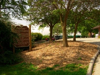
More about this marker. The marker is now located inside the entry to the clubhouse at Currie Park Golf Course. Most of the other signage has been taken down around the clubhouse as well.
Photographed by Paul F, August 20, 2010
3. Milwaukee County's First Airport Marker
Photographed by Paul F, August 20, 2010
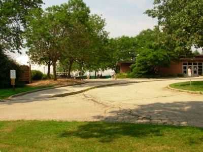
4. Milwaukee County's First Airport Marker
Marker from parking lot with clubhouse on the right.
Credits. This page was last revised on December 3, 2023. It was originally submitted on August 23, 2010, by Paul Fehrenbach of Richfield, Wisconsin. This page has been viewed 1,834 times since then and 92 times this year. Last updated on November 27, 2023, by Greta Mulder of Milwaukee, Wisconsin. Photos: 1. submitted on November 27, 2023, by Greta Mulder of Milwaukee, Wisconsin. 2, 3, 4. submitted on August 23, 2010, by Paul Fehrenbach of Richfield, Wisconsin. • J. Makali Bruton was the editor who published this page.
