Elmhurst in DuPage County, Illinois — The American Midwest (Great Lakes)
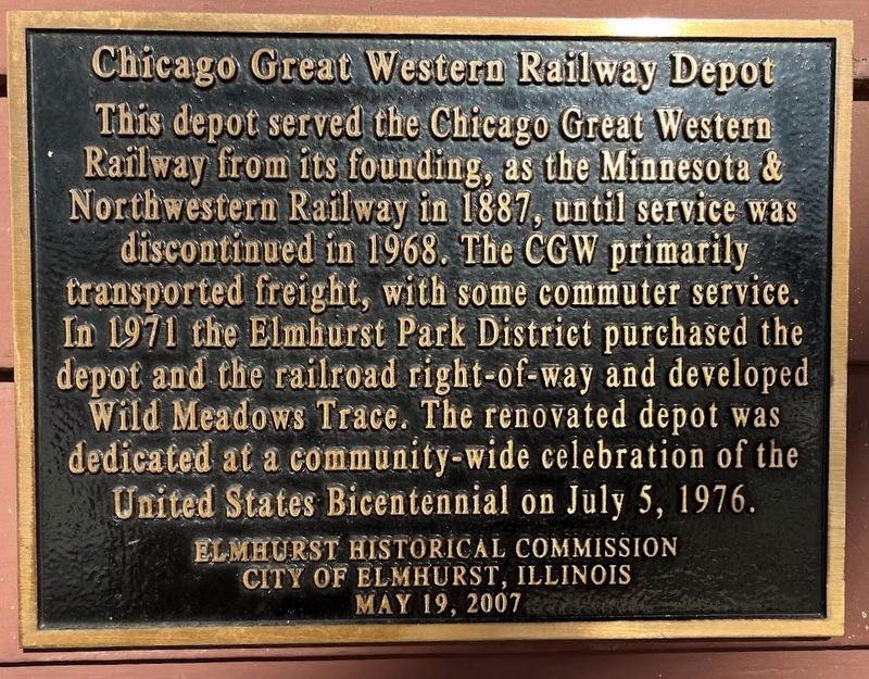
Chicago Great Western Railway Depot
Erected 2007 by Elmhurst Historical Commission; City of Elmhurst, Illinois.
Topics. This historical marker is listed in these topic lists: Parks & Recreational Areas • Railroads & Streetcars. A significant historical year for this entry is 1887.
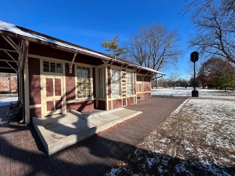
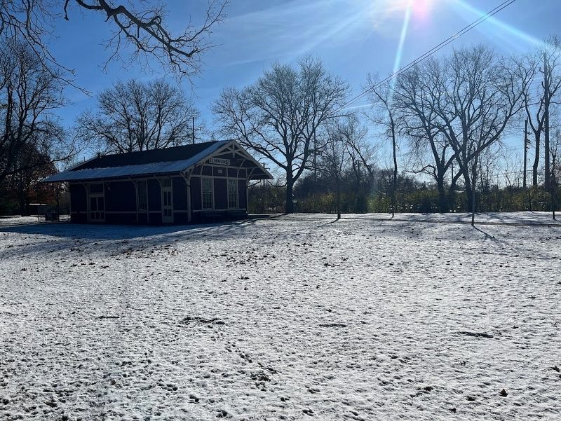
Location. 41° 53.086′ N, 87° 56.329′ W. Marker is in Elmhurst, Illinois, in DuPage County. The marker is on the south-facing wall of the old train depot, which sits in Wild Meadows Trace, an Elmhurst park. Touch for map. Marker is at or near this postal address: 511 South York Street, Elmhurst IL 60126, United States of America. Touch for directions.
Other nearby markers. At least 8 other markers are within 2 miles of this marker, measured as the crow flies. Bicentennial Fountain (within shouting distance of this marker); Berkeley Veterans Memorial (approx. 1.3 miles away); Bohlander (approx. 1.4 miles away); Villa Park Historical Museum (approx. 1.6 miles away); The Great Western Trail (approx. 1.6 miles away); Villa Historic Landmark District (approx. 1.6 miles away); Cortesi Veterans Memorial Park (approx. 1.6 miles away); Dr. L.R. Cortesi (approx. 1.6 miles away).
More about this marker. The depot is a short distance from the Prairie Path, a recreational bike and walking trail that follows the old Chicago Aurora and Elgin railway line. Another rail trail called the Great Western Trail follows CGW's old line; its eastern branch begins in Villa Park, about 1˝ miles west of this depot, and travels about 13 miles west to the suburb of West Chicago.
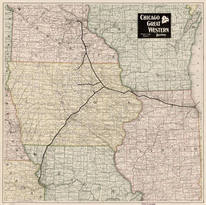
Regarding Chicago Great Western Railway Depot. The CGW was nicknamed the Corn Belt Route due to its location in the Midwest. While the CGW did have some passenger travel, it was primarily a freight line; in 1967, its final year as an independent carrier, it transported 2.5 billion ton-miles of freight. In 1968 the CGW merged with the Chicago and North Western Railway, which soon thereafter went on to abandon most of the old CGW holdings.
Also see . . .
1. Chicago Great Western Railway: "The Corn Belt Route"
. A history of the Chicago Great Western Railway (Submitted on November 29, 2023, by Sean Flynn of Oak Park, Illinois.)
2. Elmhurst Park District: The Depot. (Submitted on November 29, 2023, by Sean Flynn of Oak Park, Illinois.)
Credits. This page was last revised on November 29, 2023. It was originally submitted on November 29, 2023, by Sean Flynn of Oak Park, Illinois. This page has been viewed 54 times since then and 13 times this year. Photos: 1, 2, 3, 4. submitted on November 29, 2023, by Sean Flynn of Oak Park, Illinois. • Andrew Ruppenstein was the editor who published this page.


