Mineola in Wood County, Texas — The American South (West South Central)
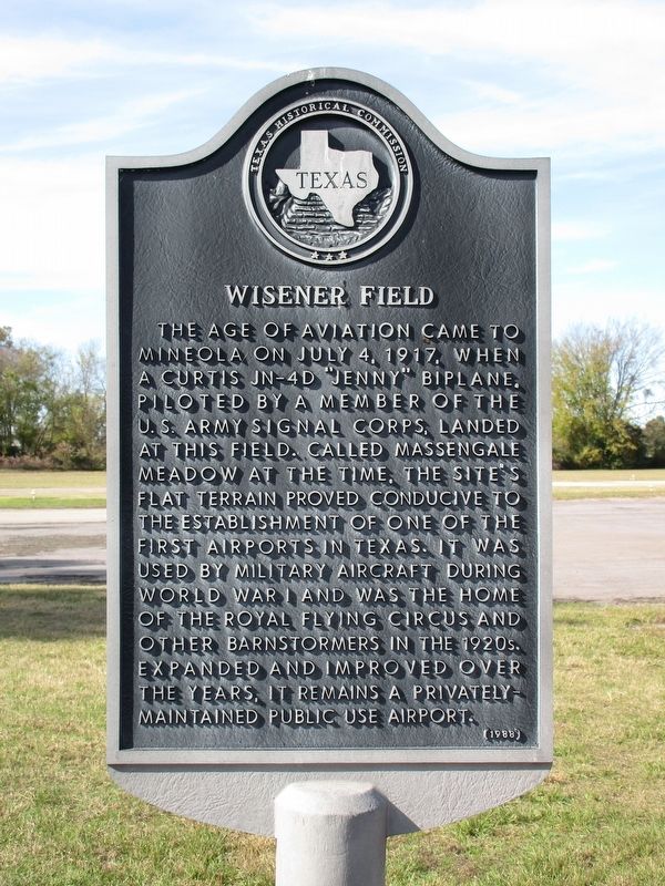
Wisener Field
Photographed by Jeff Leichsenring, November 27, 2023
1. Wisener Field Marker
Erected 1988 by Texas Historical Commission. (Marker Number 9027.)
Topics. This historical marker is listed in these topic lists: Air & Space • War, World I. A significant historical year for this entry is 1917.
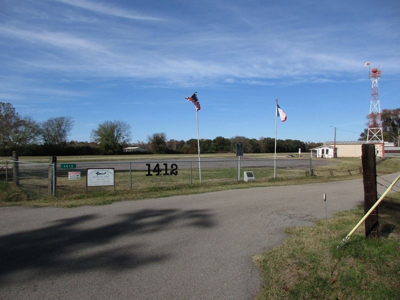
Location. 32° 40.339′ N, 95° 30.614′ W. Marker is in Mineola, Texas, in Wood County. It is on Country Club Drive 0.1 miles west of Frances Street, on the right when traveling west. At entrance to airport. Touch for map. Marker is at or near this postal address: 1412 Country Club Drive, Mineola TX 75773, United States of America. Touch for directions.

Regionally, this marker is in the American
this page online
Other nearby markers. At least 8 other markers are within 2 miles of this marker, measured as the crow flies: Mineola Schools (approx. half a mile away); Mineola Masonic Lodge No. 502, A.F. & A.M. (approx. 0.8 miles away); Callaway House (approx. 1.1 miles away); Thomas Clinic Building (approx. 1.1 miles away); Williams Medical Clinic Building (approx. 1.1 miles away); St. Paul Missionary Baptist Church (approx. 1.1 miles away); Birthplace of Miss Ima Hogg (approx. 1.3 miles away); Gov. James Stephen Hogg and Wood County (approx. 1.3 miles away). Touch for a list and map of all markers in Mineola.
Photographed by Jeff Leichsenring, November 27, 2023
2. Wisener Field Marker

Photographed by Jeff Leichsenring, November 27, 2023
3. Aviation Pioneers tablet in front of the marker
Credits. This page was last revised on May 10, 2024. It was originally submitted on November 29, 2023, by Jeff Leichsenring of Garland, Texas. This page has been viewed 269 times since then and 27 times this year. Photos: 1, 2, 3. submitted on November 29, 2023, by Jeff Leichsenring of Garland, Texas. • James Hulse was the editor who published this page.
