
Grand Saline in Van Zandt County, Texas — The American South (West South Central)
First Methodist Church of Grand Saline
Photographed by Jeff Leichsenring, November 27, 2023
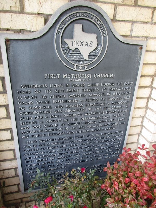
1. First Methodist Church of Grand Saline Marker
Early worship services were held in private homes and in the community schoolhouse at the southwest corner of Frank and Green streets. The congregation purchased land on the southwest corner of O'Hara and Richardson (now Hiram) streets in 1894, and their first house of worship was completed in 1896. The church moved to a new building at Main and O'Hara streets in 1904, and has remained at this site in a variety of structures.
The First Methodist Church has grown with the city of Grand Saline. Throughout its history, the church has served the community with a variety
this page online
Erected 1991 by Texas Historical Commission. (Marker Number 11408.)
Topics. This historical marker is listed in this topic list: Religion & Religious Structures. A significant historical year for this entry is 1889.
Location. 32° 40.618′ N, 95° 42.584′ W. Marker is in Grand Saline, Texas, in Van Zandt County. It is at the intersection of North Main Street and West O’Hara Street, on the left when traveling north on North Main Street. Touch for map. Marker is at or near this postal address: 501 N Main Street, Grand Saline TX 75140, United States of America. Touch for directions.

Regionally, this marker is in the American South and in the Piney Woods. Globally, it is in North America, a Gulf of Mexico state, the Western Hemisphere, the Western World, and the Anglosphere. Historically, it finds itself in what was once New Spain, the Republic of Texas, one of the Confederate States of America, and the Antebellum South.
Other nearby markers. At least 8 other markers are within 5 miles of this marker, measured as the crow flies: Wiley Hardeman Post (approx. 0.2 miles away);
Photographed by Jeff Leichsenring, November 27, 2023
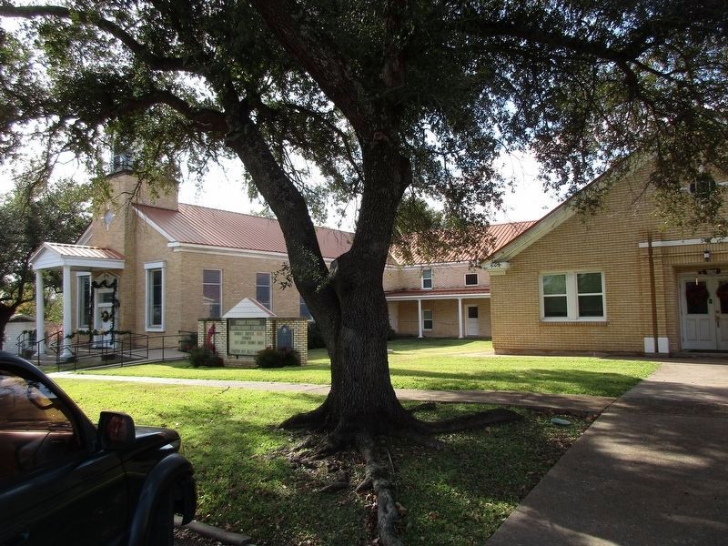
2. First Methodist Church of Grand Saline and Marker
Credits. This page was last revised on May 10, 2024. It was originally submitted on November 29, 2023, by Jeff Leichsenring of Garland, Texas. This page has been viewed 224 times since then and 16 times this year. Photos: 1, 2. submitted on November 29, 2023, by Jeff Leichsenring of Garland, Texas. • James Hulse was the editor who published this page.
