Near Grand Saline in Van Zandt County, Texas — The American South (West South Central)
Jordans Saline
Photographed By Jeff Leichsenring, November 27, 2023
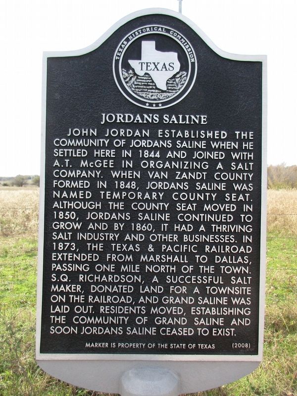
1. Jordans Saline Marker
Inscription.
Jordans Saline. . John Jordan established the community of Jordans Saline when he settled here in 1844 and joined with A.T. McGee in organizing a salt company. When Van Zandt County formed in 1848, Jordans Saline was named temporary county seat. Although the county seat moved in 1850, Jordans Saline continued to grow and by 1860, it had a thriving salt industry and other businesses. In 1873, the Texas and Pacific Railroad extended from Marshall to Dallas, passing one mile north of the town. S.Q. Richardson, a successful salt maker, donated land for a townsite on the railroad, and Grand Saline was laid out. Residents moved, establishing the community of Grand Saline and soon Jordans Saline ceased to exist.
John Jordan established the community of Jordans Saline when he settled here in 1844 and joined with A.T. McGee in organizing a salt company. When Van Zandt County formed in 1848, Jordans Saline was named temporary county seat. Although the county seat moved in 1850, Jordans Saline continued to grow and by 1860, it had a thriving salt industry and other businesses. In 1873, the Texas & Pacific Railroad extended from Marshall to Dallas, passing one mile north of the town. S.Q. Richardson, a successful salt maker, donated land for a townsite on the railroad, and Grand Saline was laid out. Residents moved, establishing the community of Grand Saline and soon Jordans Saline ceased to exist.
Erected 2008 by Texas Historical Commission. (Marker Number 15006.)
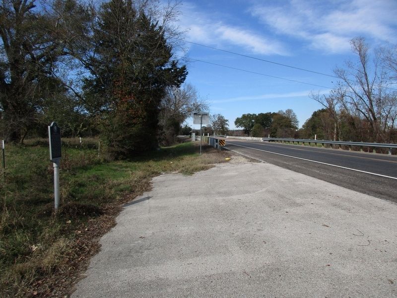
Location. 32° 39.66′ N, 95° 41.452′ W. Marker is near Grand Saline, Texas, in Van Zandt County. Marker is at the intersection of Farm to Market Road 857 and County Road 1701, on the left when traveling north on Road 857. Touch for map. Marker is in this post office area: Grand Saline TX 75140, United States of America. Touch for directions.
Other nearby markers. At least 8 other markers are within 11 miles of this marker, measured as the crow flies
Photographed By Jeff Leichsenring, November 27, 2023
2. Jordans Saline Marker
Credits. This page was last revised on December 1, 2023. It was originally submitted on November 29, 2023, by Jeff Leichsenring of Garland, Texas. This page has been viewed 98 times since then and 59 times this year. Photos:1, 2. submitted on November 29, 2023, by Jeff Leichsenring of Garland, Texas. • James Hulse was the editor who published this page.