
Providence near Grand Saline in Van Zandt County, Texas — The American South (West South Central)
Providence Community

Photographed by Jeff Leichsenring, November 27, 2023
1. Providence Community Marker
In May 1854, the county commissioners formed a school district for Providence. The school was first named Chrestman School and later Providence School. On Mar. 29, 1873, a Baptist church was established. In June 1888, someone set fire to the school, Baptist church and Grange Hall. Eventually new buildings were built. In 1888, a post office was set up but later discontinued in 1908. By 1952, the school was consolidated into the Van School District due to continuing decrease in enrollment.
With the cotton industry moving from East
this page online
Erected 2012 by Texas Historical Commission. (Marker Number 17259.)
Topics. This historical marker is listed in these topic lists: Education • Railroads & Streetcars • Religion & Religious Structures • Settlements & Settlers. A significant historical year for this entry is 1845.
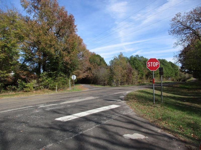
Location. 32° 37.312′ N, 95° 36.096′ W. Marker is near Grand Saline, Texas, in Van Zandt County. It is in Providence. It is at the intersection of Farm to Market Road 857 and County Road 1707, on the right when traveling west on Road 857. The marker is located one-half mile east of Grand Saline on Highway 80. Take a right (South) on Farm Road 857 for seven miles to the junction with County Road 1525 at Providence Community. Touch for map.
Photographed by Jeff Leichsenring, November 27, 2023
2. Providence Community Marker

Regionally, this marker is in the American South and in the Piney Woods. Globally, it is in North America, a Gulf of Mexico state, the Western Hemisphere, the Western World, and the Anglosphere. Historically, it finds itself in what was once New Spain, the Republic of Texas, one of the Confederate States of America, and the Antebellum South.
Other nearby markers. At least 8 other markers are within 7 miles of this marker, measured as the crow flies: Sand Flat Community (approx. 3 miles away); Pruitt Baptist Church and Pruitt Community (approx. 4.4 miles away); Jordans Saline (approx. 5.9 miles away); Wisener Field (approx. 6.4 miles away); Jarman No. 1 Discovery Well (approx. 6.7 miles away); Mineola Schools (approx. 6.7 miles away); Addie E. McFarland (approx. 6.7 miles away); Richard Malcolm Smith (approx. 6.8 miles away). Touch for a list and map of all markers in Grand Saline.
Credits. This page was last revised on December 1, 2023. It was originally submitted on November 29, 2023, by Jeff Leichsenring of Garland, Texas. This page has been viewed 321 times since then and 39 times this year. Photos: 1, 2. submitted on November 29, 2023, by Jeff Leichsenring of Garland, Texas. • James Hulse was the editor who published this page.
