St. Robert in Pulaski County, Missouri — The American Midwest (Upper Plains)
Welcome to St. Roberts
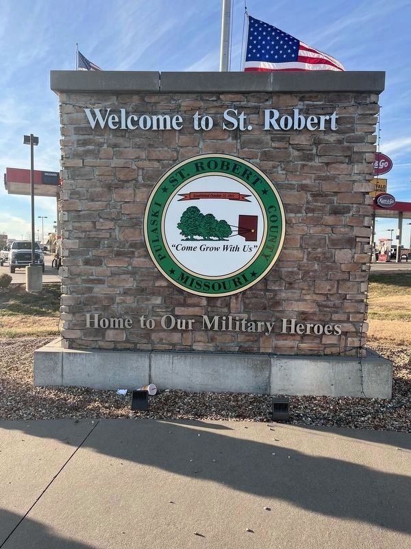
Photographed by Thomas Smith, November 29, 2023
1. Welcome to St. Robert Marker
Topics. This memorial is listed in this topic list: Military.
Location. 37° 49.319′ N, 92° 8.613′ W. Memorial is in St. Robert, Missouri, in Pulaski County. It is at the intersection of Missouri Ave and Business Interstate 44, on the right when traveling south on Missouri Ave. The memorial stands front of Kum and Go Gas Station. Touch for map. Memorial is at or near this postal address: 130 Old Rte 66, Saint Robert MO 65584, United States of America. Touch for directions.

Regionally, this memorial is in South-Central Missouri. It is also in the American Ozarks, in the Lewis & Clark Corridor, and in the Corn Belt. Globally, it is in North America, the Western Hemisphere, the Western World, and the Anglosphere. Historically, it finds itself in what was once the territory of the Mississippian Culture, the Louisiana Purchase, and the Antebellum South.
Other nearby markers. At least 8 other markers are within walking distance of this marker: "Grow With Us" (approx. 0.2 miles away); Tri-State Bonding (approx. ¼ mile away); AlPac Motel
this page online
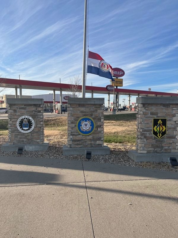
Photographed by Thomas Smith, November 29, 2023
2. Memorial Display
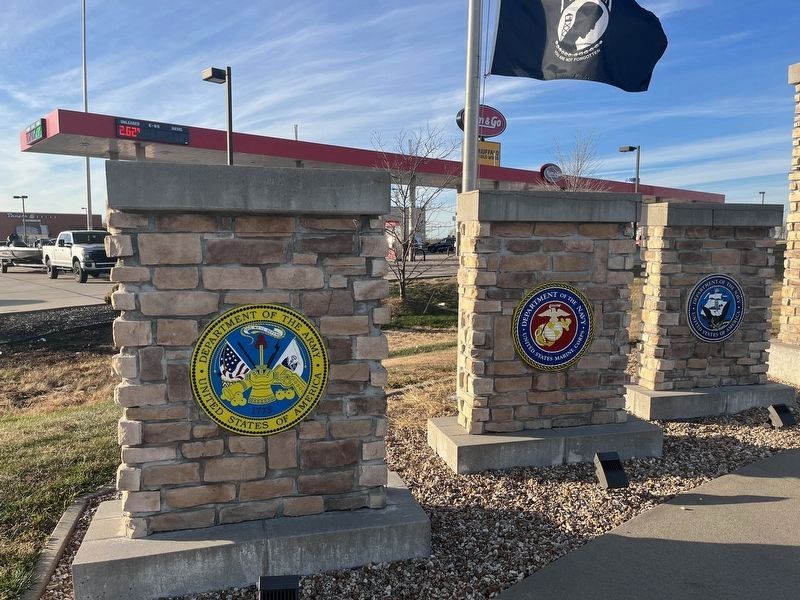
Photographed by Thomas Smith, November 29, 2023
3. Memorial Display
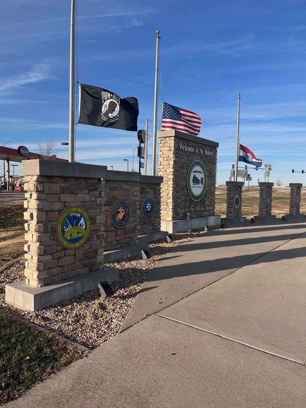
Photographed by Thomas Smith, November 29, 2023
4. Welcome to St. Robert Marker
Credits. This page was last revised on November 30, 2023. It was originally submitted on November 29, 2023, by Thomas Smith of Waterloo, Ill. This page has been viewed 207 times since then and 23 times this year. Photos: 1, 2, 3. submitted on November 29, 2023, by Thomas Smith of Waterloo, Ill. 4. submitted on November 30, 2023, by Thomas Smith of Waterloo, Ill. • Devry Becker Jones was the editor who published this page.
