Jekerkwartier in Maastricht, Limburg, Netherlands — Northwestern Europe
Papiermolen ‘De Ancker’ / “The Anchor” Paper Mill
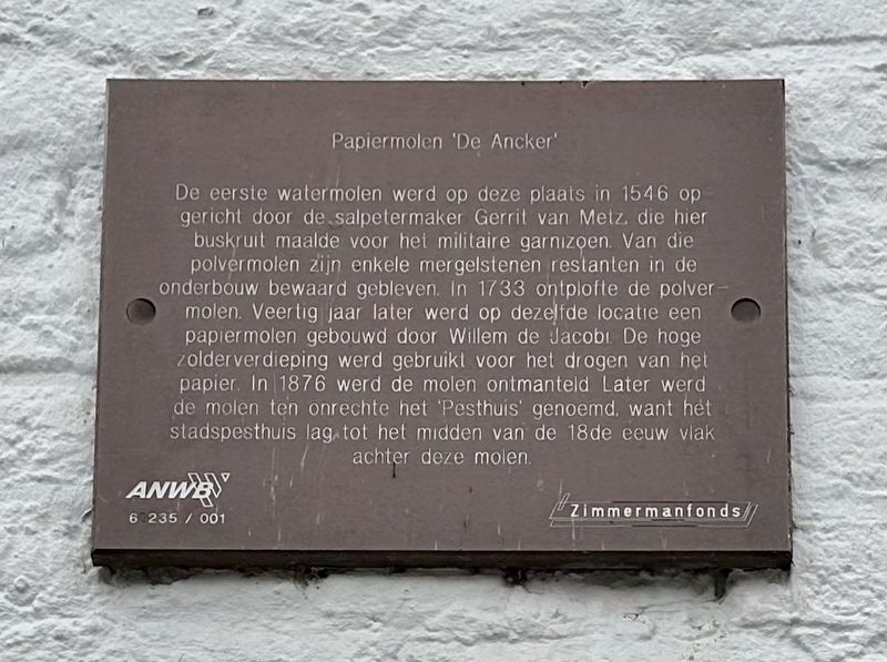
Inscription.
The first water mill was founded on this site in 1546 by the saltpeter maker Gerrit van Metz, who ground gunpowder for the military garrison. Some marlstone remains of that powder mill have been preserved in the substructure. In 1733 the powder mill exploded. Forty years later, a paper mill was built on the same location by Willem de Jacobi. The high attic floor was used for drying the paper. The mill was dismantled in 1876. Later, the mill was incorrectly called the 'Plague House', because the city plague house was located right behind this mill until the mid-18th century.
Erected by The ANWB, VVV, Zimmermanfonds.
Topics. This historical marker is listed in this topic list: Industry & Commerce. A significant historical year for this entry is 1546.
Location. 50° 50.722′ N, 5° 41.682′ E. Marker is in Maastricht, Limburg. It is in Jekerkwartier. Marker is at the intersection of Vijfkoppen and Helpoort, on the left when traveling north on Vijfkoppen. Touch for map. Marker is at or near this postal address: Vijfkoppen 1, Maastricht, Limburg 6211 HJ, Netherlands. Touch for directions.
Other nearby markers. At least 8 other markers are within walking distance of this marker. Jekertoren / Jeker Tower (a few steps from this marker); Stadsommuring, Poorten en Torens / City Walls, Gates and Towers I (within shouting distance of this marker); Helpoort / Hell Gate (within shouting distance of this marker); Waterpoort Achter de Minderbroeders / “Behind the Franciscans” Water Gate (within shouting distance of this marker); Poort Waerachtig / “Waerachtig” Gate (about 90 meters away, measured in a direct line); Faliezustersklooster / Sisters of the Veil Convent (about 120 meters away); Non Sum Qualis Eram (about 150 meters away); Franciscanen- of Minderbroederskerk / Franciscan or “Little Brothers” Church (about 150 meters away). Touch for a list and map of all markers in Maastricht.
Also see . . . Watermolen De Ancker - Pesthuys (Mestreechter Steerke, in Dutch).
The paper mill (in translation): For the construction of the paper mill, the remains of the former powder mill and the city warehouse were demolished.(Submitted on November 29, 2023.)
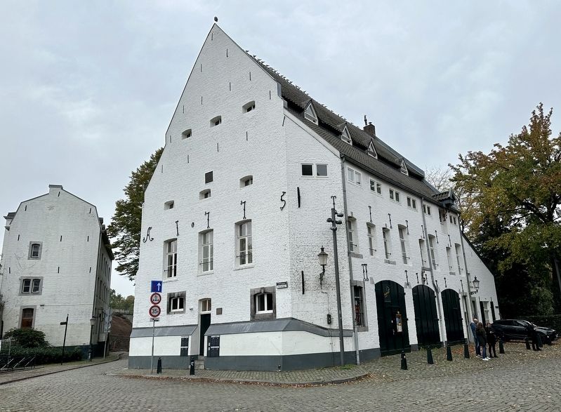
The new, extensive building with the large drying attics occupied a dominant position at that location. Adjustable openings were provided along the entire length under and in the overhanging tiled gable roof, through which outside air could enter the attic to dry the paper. The mill, located on the left bank of the Jeker, was equipped with two water wheels. The front wheel hung along the facade, the second wheel almost in the middle of the river.
Each wheel had its own water pipe that connected to the weir. The mill sluice was located there. Next to the milling locks there were two unloading locks.
The factory was completed in 1775. It had become a tall building with enormous drying attics.
Production started in 1775 and a year later an extra building was added for the storage of rags. At the time, two millers, five servants and two women worked at the mill under the supervision of master servant Hendrik Daemen, who sorted and pre-cut rags, which number at its peak amounted to 26 people in total. Outside the mill, 30 rag buyers were still active, in and outside Maastricht.

Photographed By Andrew Ruppenstein, October 26, 2023
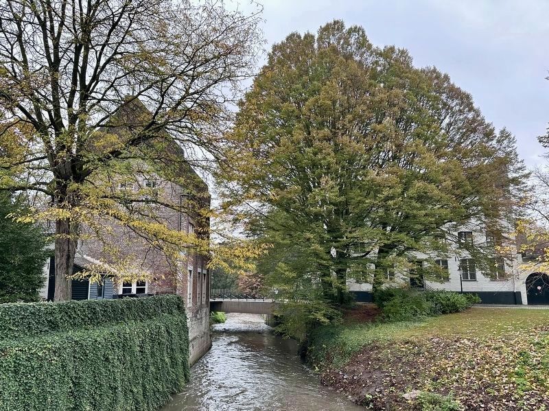
3. Papiermolen ‘De Ancker’ / “The Anchor” Paper Mill - rear view
The mill is the building on the left, while the water visible is the Jeker River, a 54-km. long river that empties into the Maas (or Meuse) River just another 100 or so meters further downstream.
Credits. This page was last revised on November 29, 2023. It was originally submitted on November 29, 2023, by Andrew Ruppenstein of Lamorinda, California. This page has been viewed 39 times since then and 5 times this year. Photos: 1, 2, 3. submitted on November 29, 2023, by Andrew Ruppenstein of Lamorinda, California.

