Conway in Faulkner County, Arkansas — The American South (West South Central)
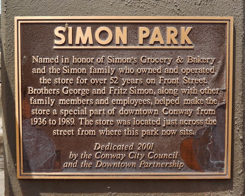
Simon Park
Erected 2001 by Conway City Council and the Downtown Partnership.
Topics. This historical marker is listed in these topic lists: Industry & Commerce • Parks & Recreational Areas. A significant historical year for this entry is 1936.
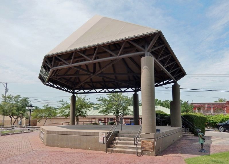
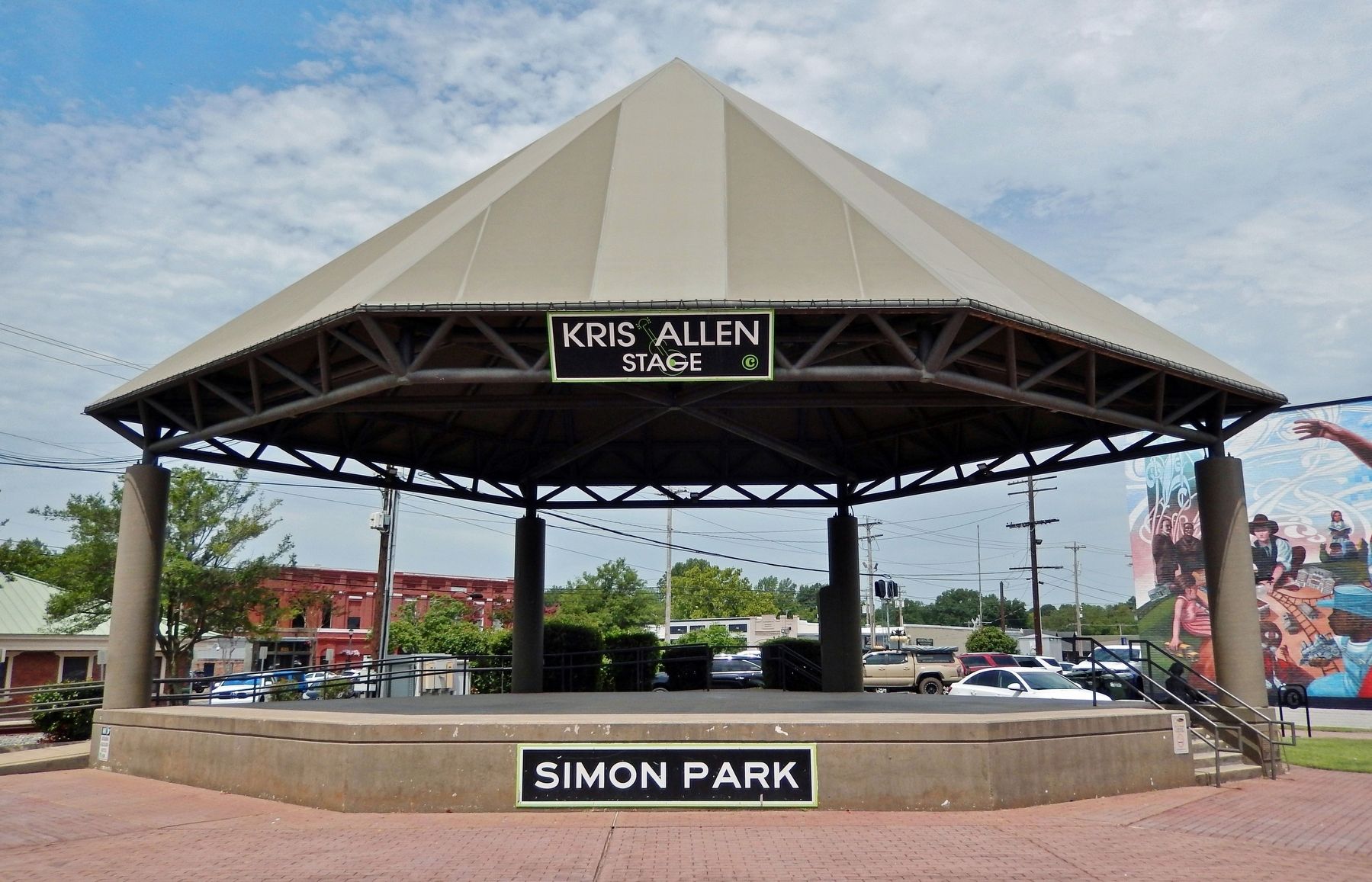
Location. 35° 5.398′ N, 92° 26.451′ W. Marker is in Conway, Arkansas, in Faulkner County. Marker is on Front Street just north of Main Street, on the left when traveling north. The marker is mounted near ground-level on the northeast corner of the Kris Allen Stage in Simon Park. Touch for map. Marker is at or near this postal address: 805 Front Street, Conway AR 72032, United States of America. Touch for directions.
Other nearby markers. At least 8 other markers are within 6 miles of this marker, measured as the crow flies. Faulkner County Veterans Memorial (about 800 feet away, measured in a direct line); Faulkner County (approx. 0.2 miles away); Conway Confederate Monument (approx. 0.2 miles away); Robins House (approx. ľ mile away); The Hendrix Bell at Altus (approx. 0.7 miles away); Faulkner County in the Civil War (approx. one mile away); 450th Commemoration De Soto Expedition (approx. 5.9 miles away); Lt. Joseph W. Harris, U.S.A. (approx. 6 miles away). Touch for a list and map of all markers in Conway.
Also see . . . Simon Park. Excerpt:
George, Fritz and the rest of the Simon family helped make downtown what it is today! The store sat across from the park in what is now the American Management building. Any child's favorite part of shopping was getting a smiley face cookie from the bakery. Later the baker opened up his own store known as Edís Bakery! They still sell those iconic smiley cookies!(Submitted on December 2, 2023, by Cosmos Mariner of Cape Canaveral, Florida.)
Credits. This page was last revised on December 2, 2023. It was originally submitted on December 2, 2023, by Cosmos Mariner of Cape Canaveral, Florida. This page has been viewed 66 times since then and 30 times this year. Photos: 1, 2, 3. submitted on December 2, 2023, by Cosmos Mariner of Cape Canaveral, Florida.


