Ruston in Lincoln Parish, Louisiana — The American South (West South Central)
Lincoln High School
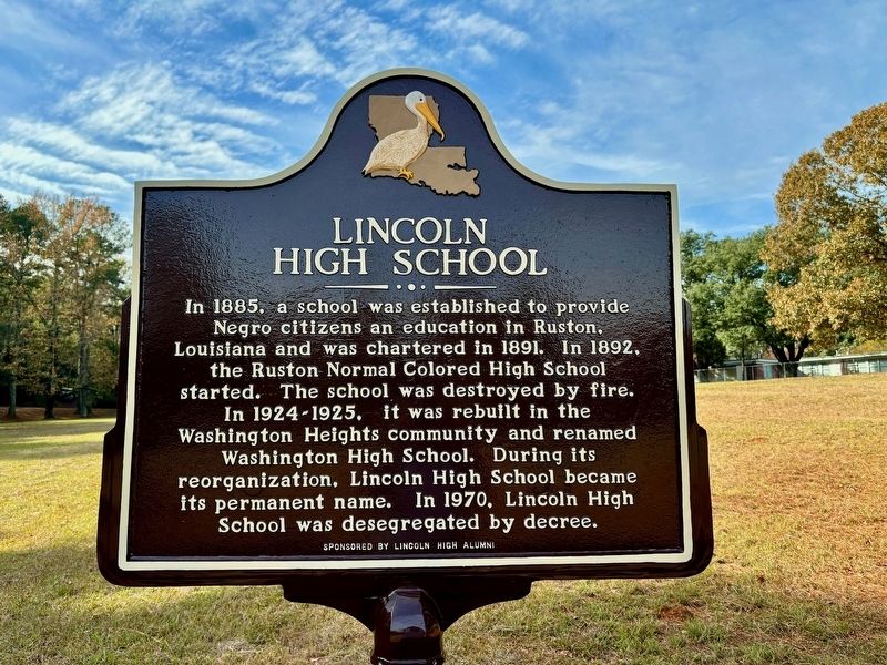
Photographed by Wesley Harris
1. Lincoln High School Marker
Erected 2023 by Lincoln High Alumni.
Topics. This historical marker is listed in these topic lists: African Americans • Education. A significant historical year for this entry is 1885.
Location. 32° 30.7′ N, 92° 38.883′ W. Marker is in Ruston, Louisiana, in Lincoln Parish. It is on Arlington Street just north of Hart Avenue, on the right when traveling south. Touch for map. Marker is at or near this postal address: 1435 Mayberry Street, Ruston LA 71270, United States of America. Touch for directions.

Regionally, this marker is in North Louisiana. It is also in the American South, specifically in the Deep South, and in the Piney Woods. Globally, it is in North America,
this page online
Other nearby markers. At least 8 other markers are within 2 miles of this marker, measured as the crow flies: V. S. & P. Railroad Depot (approx. 1.3 miles away); The Pierian Rose Garden (approx. 1.3 miles away); Lincoln Parish musicians / Honors Lincoln Parish Music Venues (approx. 1.3 miles away); West Hill (approx. 1.4 miles away); Old Post Office (approx. 1.4 miles away); First Presbyterian Church (approx. 1.4 miles away); Captain Gerald McCallum (approx. 1.6 miles away); Kidd-Davis House (approx. 1.7 miles away). Touch for a list and map of all markers in Ruston.
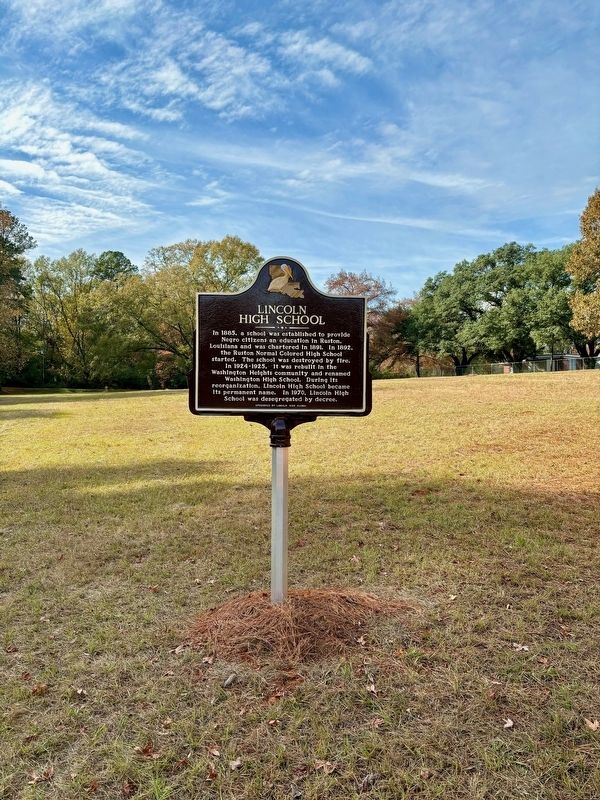
Photographed by Wesley Harris, December 2, 2023
2. Lincoln High School Marker
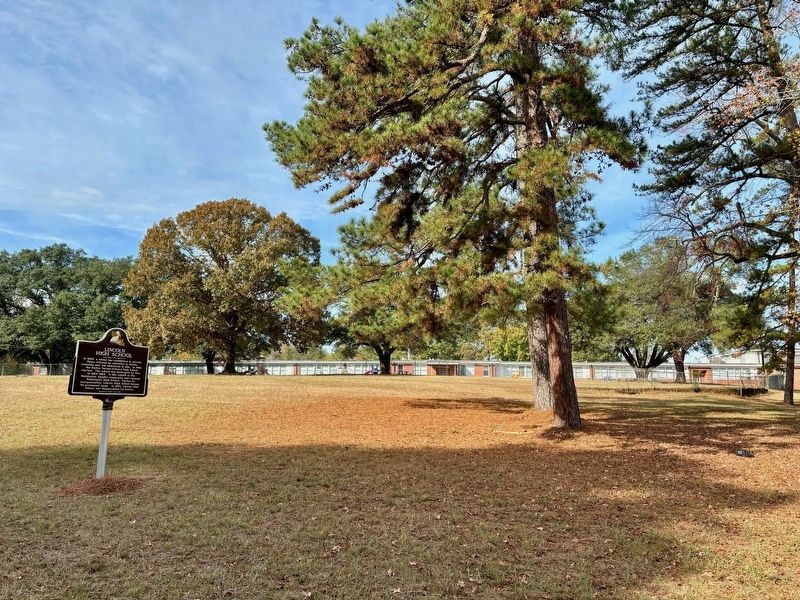
Photographed by Wesley Harris, December 2, 2023
3. Lincoln High School Marker
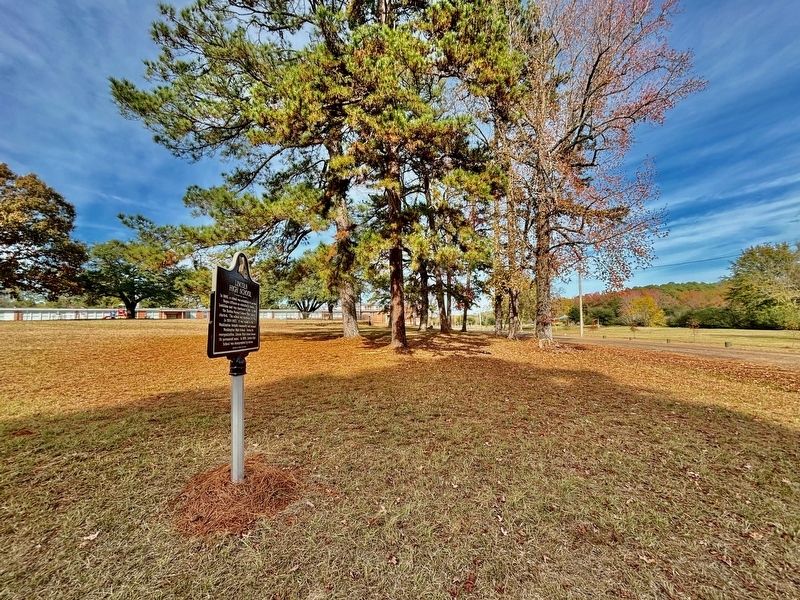
Photographed by Wesley Harris, December 2, 2023
4. Lincoln High School Marker
Credits. This page was last revised on December 2, 2023. It was originally submitted on December 2, 2023, by Wesley Harris of Ruston, Louisiana. This page has been viewed 1,074 times since then and 105 times this year. Photos: 1, 2, 3, 4. submitted on December 2, 2023, by Wesley Harris of Ruston, Louisiana. • Devry Becker Jones was the editor who published this page.
