Oakwood Township near Bruce in Brookings County, South Dakota — The American Midwest (Upper Plains)
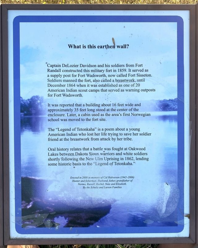
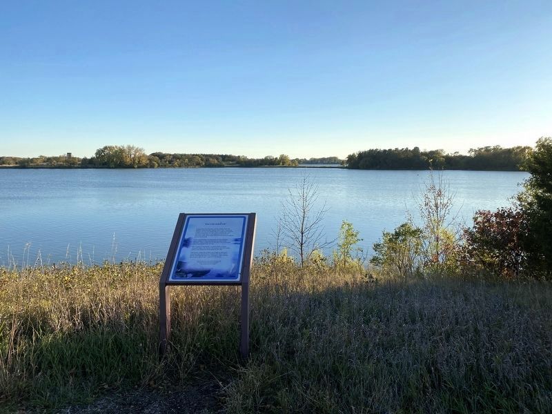
What is this earthen wall?
It was reported that a building about 16 feet wide and approximately 35 feet long stood at the center of the enclosure. Later, a cabin used as the area's first Norwegian school was moved to the fort site.
The "Legend of Tetonkaha" is a poem about a young American Indian who lost her life trying to save her soldier friend at the breastwork from attack by her tribe.
Oral history relates that a battle was fought at Oakwood Lakes between Dakota Sioux warriors and white soldiers shortly following the New Ulm Uprising in 1862, lending some historic basis to the "Legend of Tetonkaha."
Erected in 2008 in memory of Cal Halvorson (1942–2006)
Hunter and fisherman. Husband, father, grandfather of Norma, Russell, Rachel, Nate and Elizabeth.
By the Schultz and Larsen Families
Erected 2008 by the Schultz and Larsen Families in memory of Cal Halvorson.
Topics. This historical marker is listed in these topic lists: Forts and Castles • Waterways & Vessels. A significant historical year for this entry is 1859.
Location. 44° 26.544′ N, 96° 59.095′ W. Marker is near Bruce, South Dakota, in Brookings County. It is in Oakwood Township. Marker can be reached from Oakwood Drive, 1.7 miles north of 204th Street (County Highway 6). Located in Oakwood Lakes State Park (fee area). Touch for map. Marker is at or near this postal address: 20247 Oakwood Dr, Bruce SD 57220, United States of America. Touch for directions.
Other nearby markers. At least 8 other markers are within walking distance of this marker. Oakwood Lakes State Park (within shouting distance of this marker); Hessel and Charlotte Houtman Family Farm (approx. 0.4 miles away); Oakwood Lakes Burial Mounds (approx. half a mile away); Milkweed (approx. 0.6 miles away); Bur Oak (approx. 0.6 miles away); Ash, Ponderosa Pine (approx. 0.6 miles away); Significant Site (approx. 0.7 miles away); Dogwood, Jewelweed (approx. 0.7 miles away). Touch for a list and map of all markers in Bruce.
Related marker. Click here for another marker that is related to this marker.
Credits. This page was last revised on December 3, 2023. It was originally submitted on December 2, 2023. This page has been viewed 53 times since then and 17 times this year. Photos: 1, 2, 3. submitted on December 2, 2023.


