Rosman in Transylvania County, North Carolina — The American South (South Atlantic)
What's in a Name?
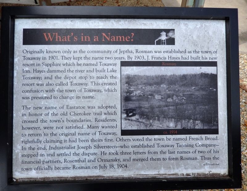
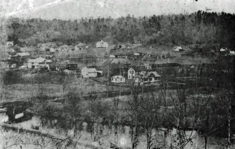
Originally known only as the community of Jeptha, Rosman was established as the town of Toxaway in 1901. They kept the name two years. By 1903, J. Francis Hayes had built his new resort in Sapphire which he named Toxaway Inn. Hayes dammed the river and built Lake Toxaway; and the depot stop to reach the resort was also called Toxaway. This created confusion with the town of Toxaway, which was pressured to change its name.
The new name of Eastatoe was adopted, in honor of the old Cherokee trail which crossed the town's boundaries. Residents, however, were not satisfied. Many wanted to return to the original name of Toxaway, rightfully claiming it had been theirs first. Others voted the town be named French Broad. In the end, Industrialist Joseph Silversteen — who established Toxaway Tanning Company — stepped in and settled the dispute. He took three letters from the last names of two of his financial partners, Rosenthal and Ormansky, and merged them to form Rosman. Thus the town officially became Rosman on July 18, 1904.
© 2011 eyd/thm
Erected 2011 by Transylvania Heritage Museum.
Topics. This historical marker is listed in these topic lists: Industry & Commerce • Native Americans • Settlements & Settlers. A significant historical date for this entry is July 18, 1904.
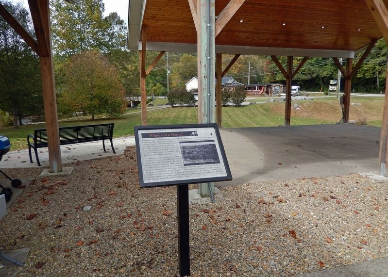
Location. 35° 8.729′ N, 82° 49.554′ W. Marker is in Rosman, North Carolina, in Transylvania County. Marker can be reached from the intersection of Pickens Highway (U.S. 178) and Main Street (State Road 1156), on the right when traveling south. The marker is located in the history exhibit plaza adjacent to Rosman Town Hall. Touch for map. Marker is at or near this postal address: 6 Main Street, Rosman NC 28772, United States of America. Touch for directions.
Other nearby markers. At least 8 other markers are within walking distance of this marker. Making a Living (here, next to this marker); Rosman Today (here, next to this marker); Rosman Schools (here, next to this marker); The Queen City (a few steps from this marker); God's Children (a few steps from this marker); The Eastatoe Path (a few steps from this marker); The Mighty French Broad (a few steps from this marker); Joshua Mountain and Early Settlers (a few steps from this marker). Touch for a list and map of all markers in Rosman.
Related markers. Click here for a list of markers that are related to this marker.
Credits. This page was last revised on December 3, 2023. It was originally submitted on December 3, 2023, by Cosmos Mariner of Cape Canaveral, Florida. This page has been viewed 35 times since then and 8 times this year. Photos: 1, 2, 3. submitted on December 3, 2023, by Cosmos Mariner of Cape Canaveral, Florida.


