Rosman in Transylvania County, North Carolina — The American South (South Atlantic)
Rosman Today
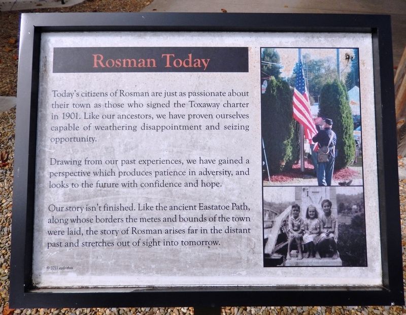
Today's citizens of Rosman are just as passionate about their town as those who signed the Toxaway charter in 1901. Like our ancestors, we have proven ourselves capable of weathering disappointment and seizing opportunity.
Drawing from our past experiences, we have gained a perspective which produces patience in adversity, and looks to the future with confidence and hope.
Our story isn't finished. Like the ancient Eastatoe Path, along whose borders the metes and bounds of the town were laid, the story of Rosman arises far in the distant past and stretches out of sight into tomorrow.
© 2011 eyd/thm
Erected 2011 by Transylvania Heritage Museum.
Topics. This historical marker is listed in these topic lists: Roads & Vehicles • Settlements & Settlers. A significant historical year for this entry is 1901.
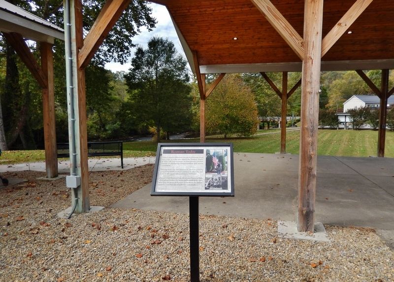
Location. 35° 8.73′ N, 82° 49.553′ W. Marker is in Rosman, North Carolina, in Transylvania County. Marker can be reached from the intersection of Pickens Highway (U.S. 178) and Main Street (State Road 1156), on the right when traveling south. The marker is located in the history exhibit plaza adjacent to Rosman Town Hall. Touch for map. Marker is at or near this postal address: 6 Main Street, Rosman NC 28772, United States of America. Touch for directions.
Other nearby markers. At least 8 other markers are within walking distance of this marker. Rosman Schools (here, next to this marker); What's in a Name? (here, next to this marker); Making a Living (here, next to this marker); The Queen City (here, next to this marker); God's Children (here, next to this marker); The Eastatoe Path (a few steps from this marker); The Mighty French Broad (a few steps from this marker); Joshua Mountain and Early Settlers (a few steps from this marker). Touch for a list and map of all markers in Rosman.
Related markers. Click here for a list of markers that are related to this marker.
Also see . . . Rosman, North Carolina (Wikipedia). Excerpt:
The settlement was known as "Toxaway" in the early 20th century. Because this caused confusion with the nearby resort town of Lake Toxaway (10 miles to the west), in 1903 the name was changed to "Eastatoe," the name of a historic Cherokee town in the area. It was also the name for nearby Eastatoe Gap and Eastatoe Falls. The Cherokee word for the Carolina parakeet was eastatoe. Town residents promoted another change, and Joseph Silversteen (a local industrialist) suggested Rosman in 1905.(Submitted on December 3, 2023, by Cosmos Mariner of Cape Canaveral, Florida.)
Credits. This page was last revised on December 3, 2023. It was originally submitted on December 3, 2023, by Cosmos Mariner of Cape Canaveral, Florida. This page has been viewed 43 times since then and 12 times this year. Photos: 1, 2. submitted on December 3, 2023, by Cosmos Mariner of Cape Canaveral, Florida.

