Oakwood Township near Bruce in Brookings County, South Dakota — The American Midwest (Upper Plains)
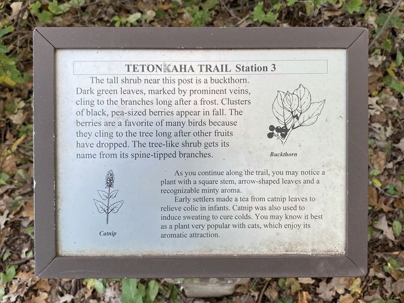
Buckthorn, Catnip
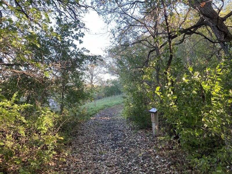
Station 3
— Tetonkaha Trail —
Buckthorn
Catnip
As you continue along the trail, you may notice a plant with a square stem, arrow-shaped leaves and a recognizable minty aroma.
Early settlers made a tea from catnip leaves to relieve colic in infants. Catnip was also used to induce sweating to cure colds. You may know it best as a plant very popular with cats, which enjoy its aromatic attraction. (Marker Number 3.)
Topics. This historical marker is listed in these topic lists: Science & Medicine • Settlements & Settlers.
Location. 44° 27.116′ N, 96° 59.614′ W. Marker is near Bruce, South Dakota, in Brookings County. It is in Oakwood Township. Marker can be reached from Oakwood Drive, 1.7 miles north of 204th Street (County Highway 6). Located in Oakwood State Park (fee area), along the Tetonkaha Trail on Scout Island. Touch for map. Marker is at or near this postal address: 20247 Oakwood Dr, Bruce SD 57220, United States of America. Touch for directions.
Other nearby markers. At least 8 other markers are within walking distance of this marker. Cottonwood (within shouting distance of this marker); Gooseberries, Stinging Nettles (within shouting distance of this marker); Muskrat (about 300 feet away, measured in a direct line); Hackberry (about 400 feet away); a different marker also named Cottonwood (about 500 feet away); Dogwood, Jewelweed (about 500 feet away); Bur Oak (approx. 0.2 miles away); Significant Site (approx. 0.2 miles away). Touch for a list and map of all markers in Bruce.
Credits. This page was last revised on December 3, 2023. It was originally submitted on December 3, 2023. This page has been viewed 51 times since then and 12 times this year. Photos: 1, 2. submitted on December 3, 2023.

