Oakwood Township near Bruce in Brookings County, South Dakota — The American Midwest (Upper Plains)
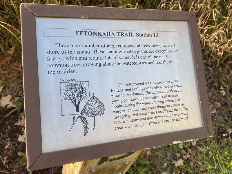
Cottonwood
Station 13
— Tetonkaha Trail —
Cottonwood
The cottonwood was a sacred tree to the Indians, and saplings were often used as center poles in sun dances. The nutritious bark of the young cottonwoods was often used to feed ponies during the winter. Young cotton pods were among the first green things to appear in the spring, and some tribes readily ate them. The female cottonwood tree strews cotton over wide areas when the pods ripen and open to the wind. (Marker Number 13.)
Topics. This historical marker is listed in this topic list: Native Americans.
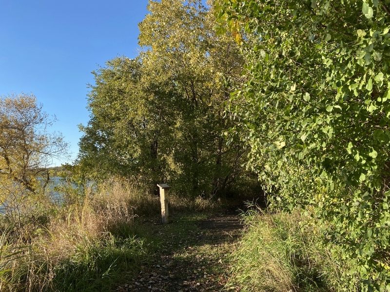
Location. 44° 27.103′ N, 96° 59.656′ W. Marker is near Bruce, South Dakota, in Brookings County. It is in Oakwood Township. Marker can be reached from Oakwood Drive, 1.7 miles north of 204th Street (County Highway 6). Located in Oakwood State Park (fee area), along the Tetonkaha Trail on Scout Island. Touch for map. Marker is at or near this postal address: 20247 Oakwood Dr, Bruce SD 57220, United States of America. Touch for directions.
Other nearby markers. At least 8 other markers are within walking distance of this marker. Buckthorn, Catnip (within shouting distance of this marker); Gooseberries, Stinging Nettles (about 300 feet away, measured in a direct line); Muskrat (about 300 feet away); Hackberry (about 400 feet away); a different marker also named Cottonwood (about 500 feet away); Dogwood, Jewelweed (about 600 feet away); Bur Oak (approx. 0.2 miles away); Ash, Ponderosa Pine (approx. 0.2 miles away). Touch for a list and map of all markers in Bruce.
Credits. This page was last revised on December 3, 2023. It was originally submitted on December 3, 2023. This page has been viewed 32 times since then and 3 times this year. Photos: 1, 2. submitted on December 3, 2023.

