Oakwood Township near Bruce in Brookings County, South Dakota — The American Midwest (Upper Plains)
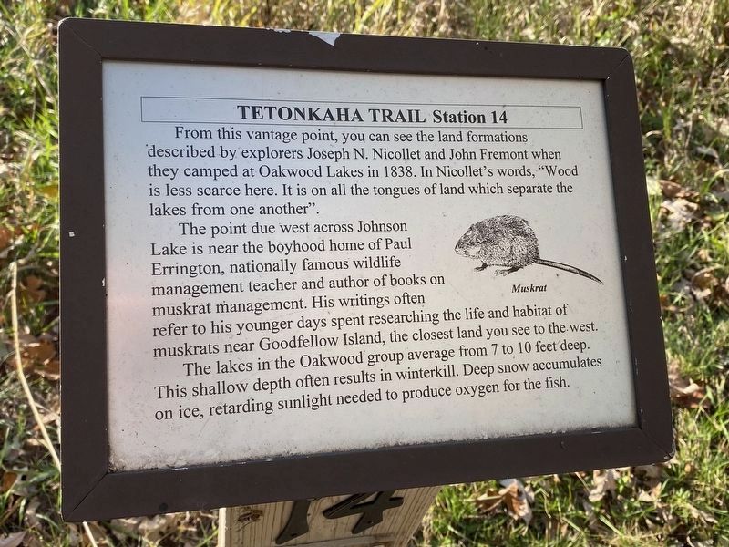
Muskrat
Station 14
— Tetonkaha Trail —
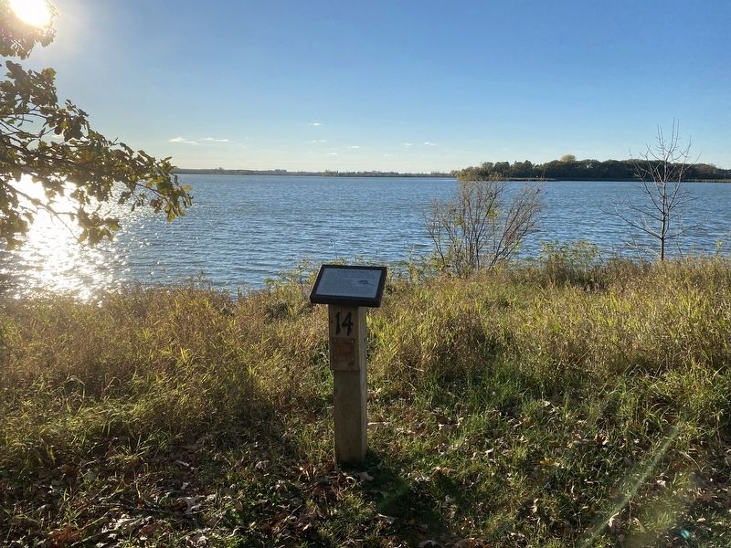
The point due west across Johnson Lake is near the boyhood home of Paul Errington, nationally famous wildlife management teacher and author of books on muskrat management. His writings often refer to his younger days spent researching the life and habitat of muskrats near Goodfellow Island, the closest land you see to the west.
The lakes in the Oakwood group average from 7 to 10 feet deep. This shallow depth often results in winterkill. Deep snow accumulates on ice, retarding sunlight needed to produce oxygen for the fish.
Muskrat (Marker Number 14.)
Topics. This historical marker is listed in these topic lists: Exploration • Waterways & Vessels. A significant historical year for this entry is 1838.
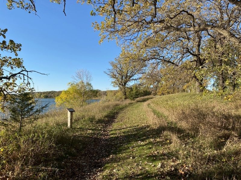
Location. 44° 27.155′ N, 96° 59.667′ W. Marker is near Bruce, South Dakota, in Brookings County. It is in Oakwood Township. Marker can be reached from Oakwood Drive, 1.7 miles north of 204th Street (County Highway 6). Located in Oakwood State Park (fee area), along the Tetonkaha Trail on Scout Island. Touch for map. Marker is at or near this postal address: 20247 Oakwood Dr, Bruce SD 57220, United States of America. Touch for directions.
Other nearby markers. At least 8 other markers are within walking distance of this marker. Hackberry (within shouting distance of this marker); Cottonwood (within shouting distance of this marker); a different marker also named Cottonwood (about 300 feet away, measured in a direct line); Buckthorn, Catnip (about 300 feet away); Gooseberries, Stinging Nettles (about 600 feet away); Dogwood, Jewelweed (approx. 0.2 miles away); Bur Oak (approx. 0.2 miles away); Significant Site (approx. ¼ mile away). Touch for a list and map of all markers in Bruce.
Credits. This page was last revised on December 3, 2023. It was originally submitted on December 3, 2023. This page has been viewed 51 times since then and 15 times this year. Photos: 1, 2, 3. submitted on December 3, 2023.


