Near Montclair in Prince William County, Virginia — The American South (Mid-Atlantic)
Maddox Cemetery
Erected 2014 by Prince William County Historical Commission.
Topics and series. This historical marker is listed in these topic lists: Cemeteries & Burial Sites • Settlements & Settlers. In addition, it is included in the Virginia, Prince William County Historical Commission series list. A significant historical year for this entry is 1810.
Location. 38° 37.235′ N, 77° 22.569′ W. Marker is near Montclair, Virginia, in Prince William County. Marker is at the intersection of Kapel Drive and Hope Hill Avenue, on the right when traveling south on Kapel Drive. Touch for map. Marker is at or near this postal address: 56 Kapel Drive, Woodbridge VA 22193, United States of America. Touch for directions.
Other nearby markers. At least 8 other markers are within 2 miles of this marker, measured as the crow flies. Howison Homestead (approx. 0.9 miles away); a different marker also named Howison Homestead (approx. 0.9 miles away); “Let There Be Lights” (approx. one mile away); Barnes House (approx. 1.3 miles away); Bel Air Plantation (approx. 1.4 miles away); Carey M. Perkinson (approx. 1.6 miles away); Montclair Veterans Flagpole (approx. 1.6 miles away); “Camp Fisher” Civil War Campsite (approx. 1.6 miles away). Touch for a list and map of all markers in Montclair.

Photographed By Devry Becker Jones (CC0), March 12, 2021
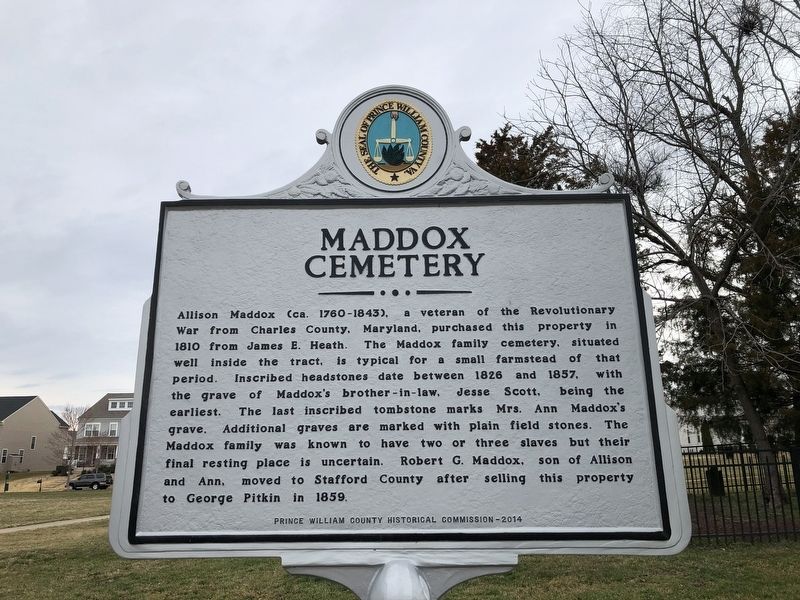
2. Maddox Cemetery Marker
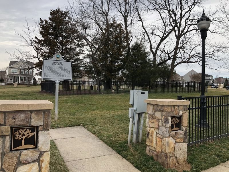
The cemetery is visible in the background on the right.
Credits. This page was last revised on December 4, 2023. It was originally submitted on March 12, 2021, by Devry Becker Jones of Washington, District of Columbia. This page has been viewed 572 times since then and 86 times this year. Last updated on December 4, 2023, by N. Jozsa of Woodbridge, Virginia. Photos: 1, 2. submitted on March 12, 2021, by Devry Becker Jones of Washington, District of Columbia. • Bernard Fisher was the editor who published this page.
