Near Davidson in Iredell County, North Carolina — The American South (South Atlantic)
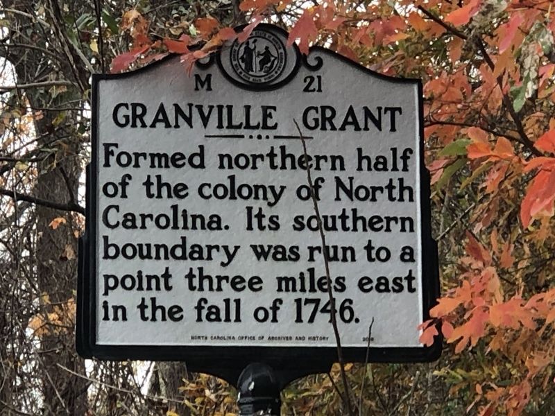
Granville Grant
Erected by North Carolina Office of Archives and History. (Marker Number M-21.)
Topics and series. This historical marker is listed in these topic lists: Colonial Era • Settlements & Settlers. In addition, it is included in the North Carolina Division of Archives and History series list. A significant historical year for this entry is 1746.
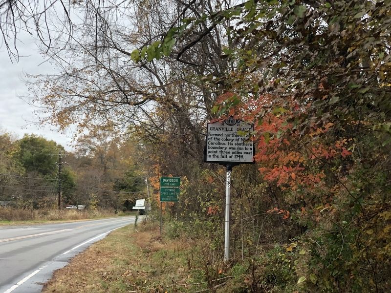
Location. 35° 30.626′ N, 80° 50.336′ W. Marker is near Davidson, North Carolina, in Iredell County. Marker is on Mecklenburg Highway (State Highway 115) near Dunmurry Road, on the right when traveling south. Touch for map. Marker is at or near this postal address: 2089 Mecklenburg Hwy, Mooresville NC 28115, United States of America. Touch for directions.
Other nearby markers. At least 8 other markers are within 3 miles of this marker, measured as the crow flies. D.H. Hill (approx. 0.6 miles away); Stinson Hall (approx. 0.6 miles away); Davidson College (approx. 0.8 miles away); X-Ray Experiments (approx. 0.9 miles away); Chairman Blake House (approx. one mile away); Site of Torrence Tavern (approx. 2 miles away); Torrence's Tavern (approx. 2.1 miles away); Centre Church (approx. 2.6 miles away). Touch for a list and map of all markers in Davidson.
Also see . . .
1. Granville Grant and District. The Granville District was a wide stretch of land encompassing the area between the present Virginia-North Carolina border and a line about 65 miles south. (By Thornton W. Mitchell, Encyclopedia of North Carolina, 2006; via NCpedia) (Submitted on December 4, 2023, by Duane and Tracy Marsteller of Murfreesboro, Tennessee.)
2. North Carolina Land Grant Images and Data. A searchable database plus 1.2 million images for 217,460 land grants issued in North Carolina from 1663 to 1960, including Lord Granville grants. (NC Historical Records Online) (Submitted on December 4, 2023, by Duane and Tracy Marsteller of Murfreesboro, Tennessee.)
Credits. This page was last revised on December 4, 2023. It was originally submitted on December 4, 2023, by Duane and Tracy Marsteller of Murfreesboro, Tennessee. This page has been viewed 56 times since then and 15 times this year. Photos: 1, 2. submitted on December 4, 2023, by Duane and Tracy Marsteller of Murfreesboro, Tennessee.

