Fort Motte in Calhoun County, South Carolina — The American South (South Atlantic)
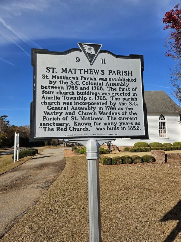
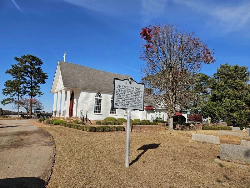
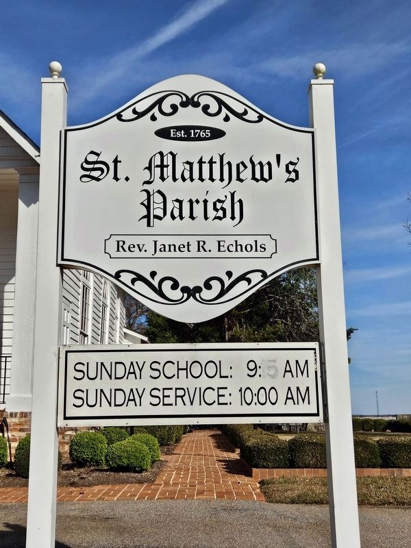
St. Matthew's Parish
Erected 2015 by Calhoun County Museum and Cultural Center. (Marker Number 9 11.)
Topics. This historical marker is listed in these topic lists: Churches & Religion • Colonial Era. A significant historical year for this entry is 1765.
Location. 33° 42.821′ N, 80° 40.253′ W. Marker is in Fort Motte, South Carolina, in Calhoun County. Marker is at the intersection of Fort Motte Road and Red Clay Road, on the right when traveling north on Fort Motte Road. Touch for map. Marker is at or near this postal address: 1164 Fort Motte Rd, Saint Matthews SC 29135, United States of America. Touch for directions.
Other nearby markers. At least 8 other markers are within 7 miles of this marker, measured as the crow flies. Mount Pleasant Baptist Church (approx. 1.8 miles away); Site of Rebecca Motte's Home (approx. 3.2 miles away); John M. Bates Bridge (approx. 3.4 miles away); Congaree River Ferries (approx. 3.8 miles away); Honoring a Pioneer Woman (approx. 5.7 miles away); First Land Granted in Calhoun County Area (approx. 5.7 miles away); Kingville (approx. 6.6 miles away); St. Matthew's Lutheran Church (approx. 6.6 miles away).
Also see . . . St. Matthew's Parish Church. (Submitted on December 14, 2023.)
Credits. This page was last revised on December 14, 2023. It was originally submitted on December 5, 2023, by Yvonne Vaughn of Elgin, South Carolina. This page has been viewed 84 times since then and 53 times this year. Photos: 1, 2, 3. submitted on December 5, 2023, by Yvonne Vaughn of Elgin, South Carolina. • Bernard Fisher was the editor who published this page.


