Kalama in Cowlitz County, Washington — The American West (Northwest)
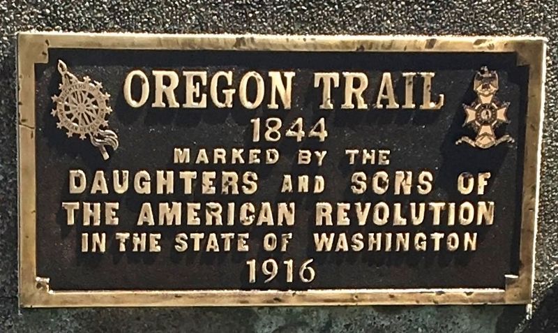
Oregon Trail 1844
Erected 1916 by Daughters and Sons of the American Revolution.
Topics and series. This historical marker is listed in this topic list: Roads & Vehicles. In addition, it is included in the Daughters of the American Revolution, the Oregon Trail, and the Sons of the American Revolution (SAR) series lists. A significant historical year for this entry is 1844.
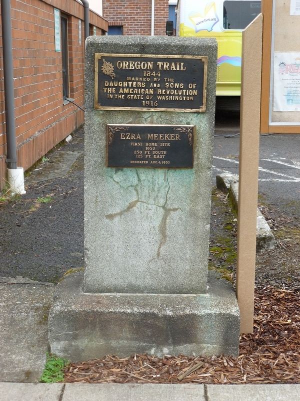
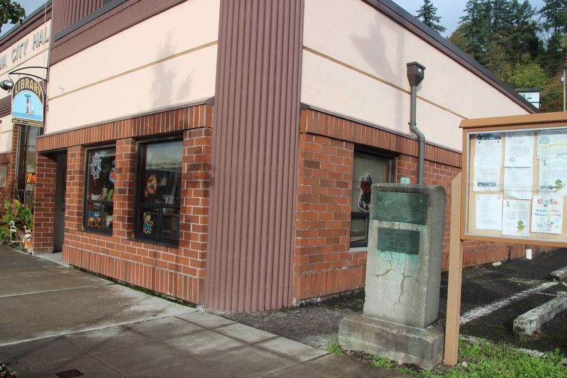
Location. 46° 0.584′ N, 122° 50.707′ W. Marker is in Kalama, Washington, in Cowlitz County. Marker is on North First Street near Geranium, on the right when traveling north. Two Bronze plaques are attached to a large concrete upright monument next to the Kalama City Hall. The Oregon Trail plaque is on top. The other plaque, below it, was erected on August 4, 1953, by the Cowlitz County Historical Society and citizens of Kalama. Touch for map. Marker is at or near this postal address: 320 N First Street, Kalama WA 98625, United States of America. Touch for directions.
Other nearby markers. At least 8 other markers are within 11 miles of this marker, measured as the crow flies. Ezra Meeker First Home Site (within shouting distance of this marker); The Finn Hall (approx. 8.6 miles away); Woodland Community Veterans Memorial (approx. 8.9 miles away); Oregon Trail (approx. 9.8 miles away); Public Library (approx. 10.1 miles away); Warrior Rock Fog Bell (approx. 10.4 miles away in Oregon); down the trodden path... (approx. 10.4 miles away in Oregon); Lewis & Clark Discovery Trail (approx. 10.4 miles away in Oregon).
Regarding Oregon Trail 1844. In 1916 and 1917 the State of Washington State Societies of the Daughters and Sons of the American Revolution placed a series of 11 markers honoring the Oregon Trail pioneers and documenting their journey, from their entry into present-day Washington State at the Columbia River by Vancouver up to Tumwater in Puget Sound. It was a big historic preservation project, the biggest that the groups had undertaken to date, finalized with much fanfare. It was a time in which the Oregon Trail pioneers were getting old and passing away. There was a sense of urgency to document their great adventure and honor them before it was too late.
Credits. This page was last revised on December 11, 2023. It was originally submitted on December 6, 2023, by Shirley A Stirling of Lacey, Washington. This page has been viewed 54 times since then and 21 times this year. Photos: 1, 2, 3. submitted on December 6, 2023, by Shirley A Stirling of Lacey, Washington. • Andrew Ruppenstein was the editor who published this page.


