Near Quitaque in Briscoe County, Texas — The American South (West South Central)
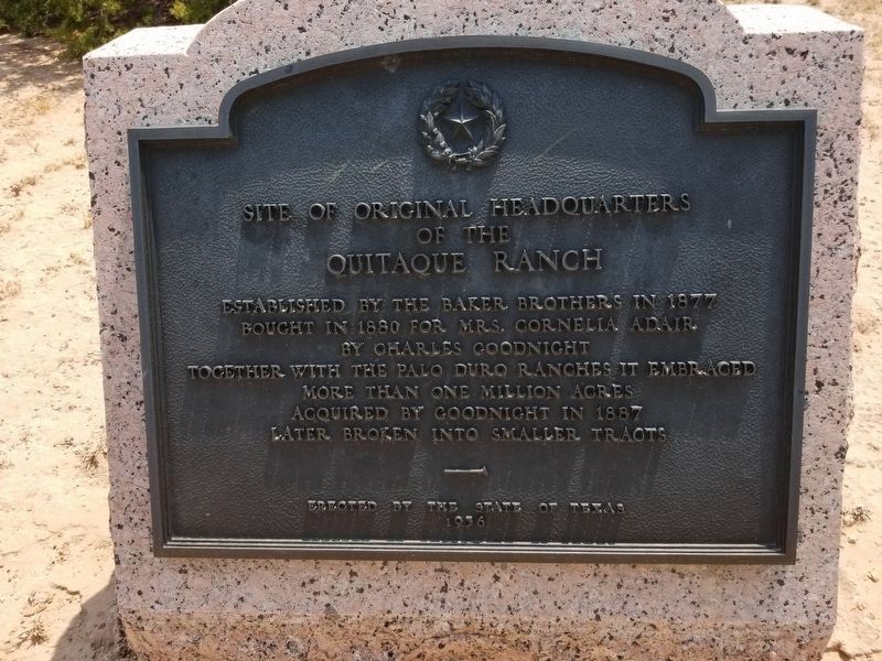
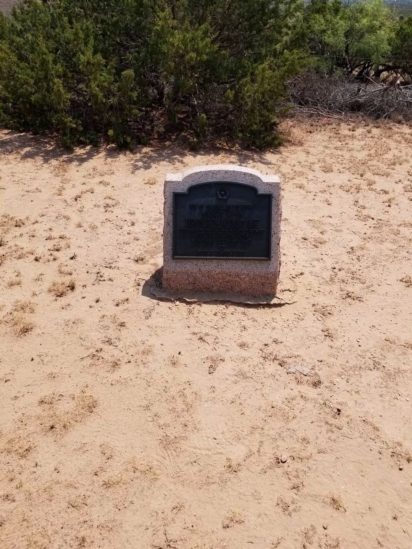
Site of Original Headquarters of the Quitaque Ranch
Inscription.
Established by the Baker brothers in 1877; bought in 1880 for Mrs. Cornelia Adair by Charles Goodnight. Together with the Palo Duro ranches it embraced more than one million acres acquired by Goodnight in 1887, later broken into smaller tracts.
Erected 1936 by State of Texas. (Marker Number 4146.)
Topics and series. This historical marker is listed in these topic lists: Industry & Commerce • Settlements & Settlers • Women. In addition, it is included in the Texas 1936 Centennial Markers and Monuments series list. A significant historical year for this entry is 1877.
Location. 34° 16.846′ N, 101° 5.856′ W. Marker is near Quitaque, Texas, in Briscoe County. Marker can be reached from Farm to Market Road 689. The marker can be reached from FM 689 by heading 1.21 miles south on road 293. Then turn to the west and go .19 miles. Touch for map. Marker is in this post office area: Quitaque TX 79255, United States of America. Touch for directions.
Other nearby markers. At least 8 other markers are within 11 miles of this marker, measured as the crow flies. Camp Resolution (approx. 2˝ miles away); Gasoline Cotton Gin (approx. 6.4 miles away); Quanah Parker Trail (approx. 6.6 miles away); Resthaven Cemetery (approx. 7.2 miles away); Natural Disturbance-Lifeblood of the Prairies (approx. 9.2 miles away); Lake Theo Folsom Bison Kill Site (approx. 9.4 miles away); a different marker also named Quanah Parker Trail (approx. 10.2 miles away); Home for 12,000 Years (approx. 11.1 miles away). Touch for a list and map of all markers in Quitaque.
Credits. This page was last revised on December 6, 2023. It was originally submitted on August 23, 2020, by Allen Lowrey of Amarillo, Texas. This page has been viewed 313 times since then and 28 times this year. Last updated on December 6, 2023, by Jeff Leichsenring of Garland, Texas. Photos: 1, 2, 3, 4. submitted on August 23, 2020, by Allen Lowrey of Amarillo, Texas. • James Hulse was the editor who published this page.


