Pequot Lakes in Crow Wing County, Minnesota — The American Midwest (Upper Plains)
Firefighting Heritage
Photographed by Cosmos Mariner, September 6, 2023
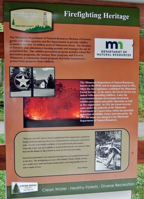
1. Firefighting Heritage Marker (left panel)
The Minnesota Department of Natural Resources, known as the DNR, had its beginnings back in 1911, when the state legislature established the Minnesota Forest Service. At the outset, the Forest Service was tasked with controlling wildfires. Later, the organization became increasingly involved in wildfire prevention and public education, as well as fire suppression. In 1931 the Forest Service came under the umbrella of the Minnesota Department of Conservation, which also provided protection of wildlife, waters and state parks. In 1971 the name was changed to the Minnesota Department of Natural Resources.
"The year was 1931 and we
this page online
Each forest patrolman was required to furnish his own transportation to get to the fires. My firefighting car was a 1923 Model T Ford. In this touring car I could carry some back-pack pump tanks, a few long handled shovels and a couple of axes.
—Don Wilson
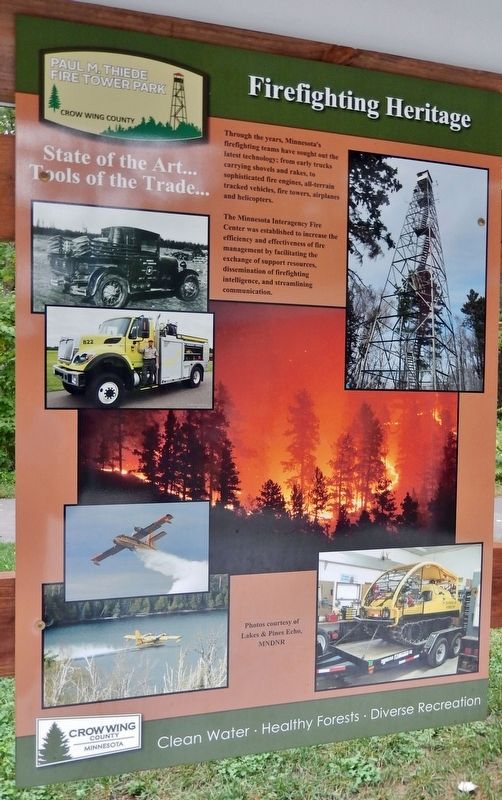
Tools of the Trade…
The Minnesota Interagency Fire Center was established to increase the efficiency and effectiveness of fire management by facilitating the exchange of support resources, dissemination of firefighting intelligence, and streamlining communication.
Photographed by Cosmos Mariner, September 6, 2023
2. Firefighting Heritage Marker (center panel)
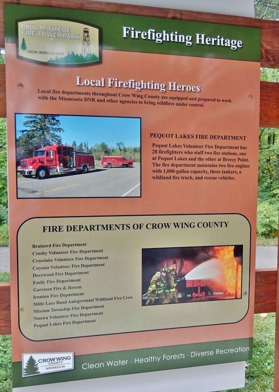
Pequot Lakes Fire Department
Pequot Lakes Volunteer Fire Department has 28 firefighters who staff two fire stations, one at Pequot Lakes and the other at Breezy Point. The fire department maintains two fire engines with 1,000-gallon capacity, three tankers, a wildland fire truck, and rescue vehicles.
Erected by Crow Wing County, Minnesota.
Topics. This historical marker is listed in these topic lists: Charity & Public Work • Education • Horticulture & Forestry • Parks & Recreational Areas. A significant historical year for this entry is 1911.
Location. 46° 36.245′ N, 94° 17.665′ W. Marker is in Pequot Lakes, Minnesota, in Crow Wing County. It can be reached from County Road 11 0.3 miles east of State Highway 371, on the left when traveling east. The marker is located along the Fire Tower Trail in Paul M. Thiede Fire Tower Park. Touch for map. Marker is at or near this postal address: 5230 County Road 11, Pequot Lakes MN 56472, United States of America. Touch for directions.

Regionally, this marker is in the Northland. It is also in the American Midwest, in the Corn Belt, and in the Great River Road Region. Globally, it is in North America, the Great North Woods, the Western Hemisphere,
Photographed by Cosmos Mariner, September 6, 2023
3. Firefighting Heritage Marker
(right panel)
(right panel)
Other nearby markers. At least 8 other markers are within walking distance of this marker: Traditional Landscape (here, next to this marker); Fire and Healthy Forests (here, next to this marker); Prescribed Fire (here, next to this marker); Recognition and Fame for The Pequot Lakes Fire Tower (a few steps from this marker); Close to Home... Area Historic Wildfires (a few steps from this marker); Minnesota's Most Devastating Wild Fires (a few steps from this marker); Don Nelson (a few steps from this marker); Paul M. Thiede Fire Tower Park (within shouting distance of this marker). Touch for a list and map of all markers in Pequot Lakes.
Related markers. Click here for a list of markers that are related to this marker. Paul M. Thiede Fire Tower Park
Photographed by Cosmos Mariner, September 6, 2023
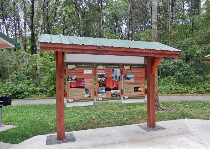
4. Firefighting Heritage Interpretive Kiosk
The marker comprises three panels in this trailside kiosk. The Fire Tower Trail crosses left-to-right in the background.
Credits. This page was last revised on December 9, 2023. It was originally submitted on December 7, 2023, by Cosmos Mariner of Cape Canaveral, Florida. This page has been viewed 222 times since then and 26 times this year. Photos: 1, 2, 3, 4. submitted on December 8, 2023, by Cosmos Mariner of Cape Canaveral, Florida.
