South End in Charlotte in Mecklenburg County, North Carolina — The American South (South Atlantic)
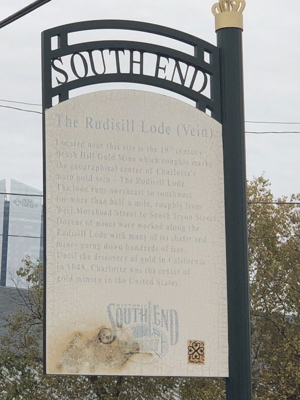
The Rudisill Lode (Vein)
Erected by Charlotte Center City Partners.
Topics. This historical marker is listed in these topic lists: Industry & Commerce • Natural Features. A significant historical year for this entry is 1848.
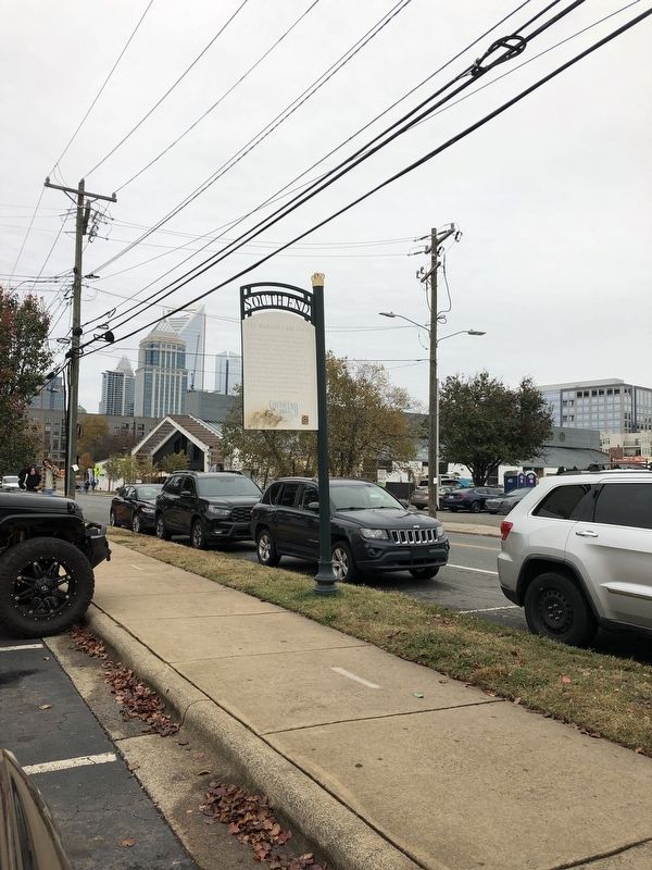
Location. 35° 13.226′ N, 80° 51.519′ W. Marker is in Charlotte, North Carolina, in Mecklenburg County. It is in South End. Marker is at the intersection of South Mint Street and West Bland Street, on the right when traveling south on South Mint Street. Touch for map. Marker is at or near this postal address: 1334 S Mint St, Charlotte NC 28203, United States of America. Touch for directions.
Other nearby markers. At least 8 other markers are within walking distance of this marker. John E. Penman (about 500 feet away, measured in a direct line); Trading Path (approx. 0.4 miles away); Gold Mines (approx. half a mile away); Lance Building (approx. half a mile away); Pritchard Memorial Baptist Church (approx. half a mile away); Mike McCormack (approx. 0.6 miles away); Good Samaritan Hospital (approx. 0.6 miles away); North Carolina Military Institute (approx. 0.6 miles away). Touch for a list and map of all markers in Charlotte.
Also see . . .
1. The North Carolina Gold Rush. In 1799 an event occurred in the southern Piedmont that made North Carolina a very desirable place to live — the discovery of gold! (by Rebecca Lewis, Tar Heel Junior Historian, 2006; via NCpedia) (Submitted on December 10, 2023, by Duane and Tracy Marsteller of Murfreesboro, Tennessee.)
2. Gold Mining on the Rudisil Lode and the Development of Charlotte, N.C. (PDF). The discovery of the rich gold vein would help transform Charlotte into the city it is today. Note: Book was scanned 1-2 pages at a time. ((Henry S. Brown and Mary F. Hoffman for the Charlotte Community Development Department; via J. Murrey Atkins Library, University of North Carolina-Charlotte) (Submitted on December 10, 2023, by Duane and Tracy Marsteller of Murfreesboro, Tennessee.)
Credits. This page was last revised on December 10, 2023. It was originally submitted on December 10, 2023, by Duane and Tracy Marsteller of Murfreesboro, Tennessee. This page has been viewed 77 times since then and 38 times this year. Photos: 1, 2. submitted on December 10, 2023, by Duane and Tracy Marsteller of Murfreesboro, Tennessee.

