Boerne in Kendall County, Texas — The American South (West South Central)
Julius A. and Anna Phillip House
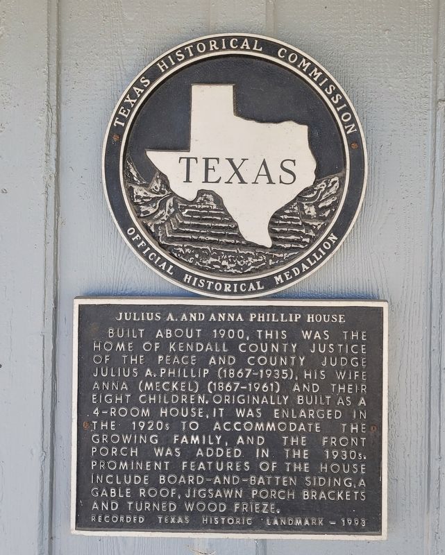
Photographed by James Hulse, December 9, 2023
1. Julius A. and Anna Phillip House Marker
Erected 1993 by Texas Historical Commission. (Marker Number 2888.)
Topics. This historical marker is listed in this topic list: Notable Buildings. A significant historical year for this entry is 1900.
Location. 29° 47.894′ N, 98° 43.529′ W. Marker is in Boerne, Texas, in Kendall County. It is on North Plant Avenue 0.1 miles north of East Blanco Road, on the left when traveling north. The marker is located on the front porch of the building. Touch for map. Marker is at or near this postal address: 116 N Plant Ave, Boerne TX 78006, United States of America. Touch for directions.

Regionally, this marker is in the Hill Country and in
this page online
Other nearby markers. At least 8 other markers are within walking distance of this marker: Kendall Masonic Lodge No. 897 (about 600 feet away, measured in a direct line); Boerne Chapter No. 200 - O.E.S. (about 600 feet away); Transportation Timeline (about 700 feet away); SA and AP (about 700 feet away); San Antonio Railroads (about 700 feet away); Lott Lines (about 700 feet away); San Antonio, Fredericksburg & Northern Railroad Company (SAF&N) (about 700 feet away); Poor ol' SAP (approx. ¼ mile away). Touch for a list and map of all markers in Boerne.
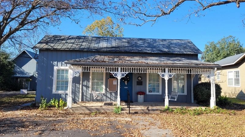
Photographed by James Hulse, December 9, 2023
2. The Julius A. and Anna Phillip House and Marker
Credits. This page was last revised on December 11, 2023. It was originally submitted on December 11, 2023, by James Hulse of Medina, Texas. This page has been viewed 248 times since then and 21 times this year. Photos: 1, 2. submitted on December 11, 2023, by James Hulse of Medina, Texas.
