Jekerkwartier in Maastricht, Limburg, Netherlands — Northwestern Europe
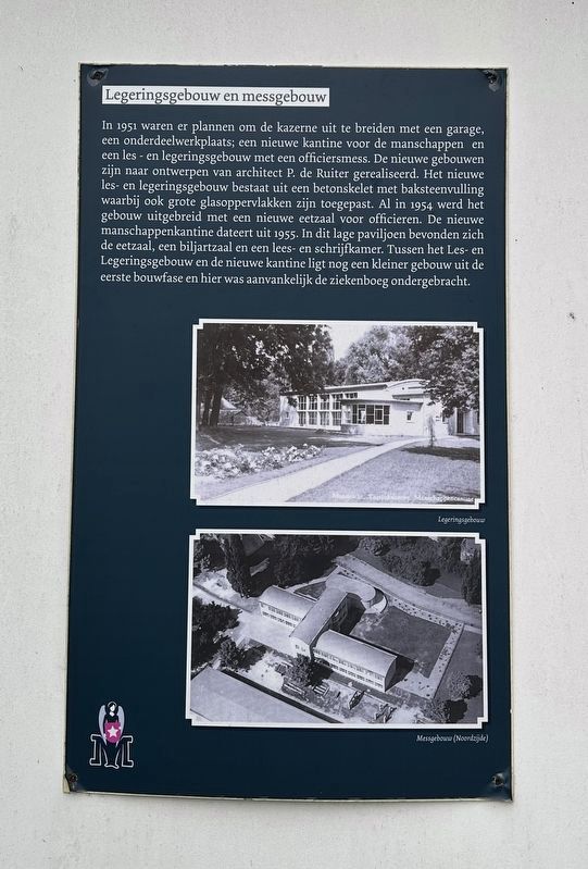
Legeringsgebouw en messgebouw / Instructional Building and Mess Hall
Inscription.
In 1951 there were plans to expand the barracks with a garage, a parts workshop; a new canteen for the troops and a teaching and accommodation building with an officers' mess. The new buildings were built according to designs by architect P. de Ruiter. The new teaching and station building consisted of a concrete skeleton with brick filling, as well as and large glass surfaces. As early as 1954, the building was expanded with a new dining room for officers. The new troops canteen dates from 1955. This low pavilion housed the dining room, a billiard room and a reading and writing room. Between the instructional and admin building and the new canteen there is another smaller building from the first construction phase, which initially housed the infirmary.
Topics. This historical marker is listed in this topic list: Military. A significant historical year for this entry is 1951.
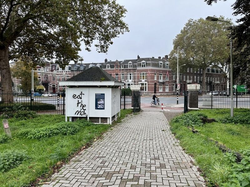
Location. 50° 50.521′ N, 5° 41.325′ E. Marker is in Maastricht, Limburg. It is in Jekerkwartier. Marker is at the intersection of Sint Hubertuslaan and Prins Bisschopsingel, on the left when traveling north on Sint Hubertuslaan. Touch for map. Marker is at or near this postal address: Sint Hubertuslaan 12, Maastricht, Limburg 6212 BH, Netherlands. Touch for directions.
Other nearby markers. At least 8 other markers are within walking distance of this marker. Commandobunker Koude Oorlog / Cold War Command Bunker (a few steps from this marker); Grafmonument Dibbets / General Dibbets Grave Monument (a few steps from this marker); U.S. Ninth Army Headquarters (about 180 meters away, measured in a direct line); Huis in den Nieuwenhof / House on the Nieuwenhof (approx. 0.2 kilometers away); Hertogsmolen aan de Stadsmuur / The Duke’s Mill at the City Wall
(approx. 0.4 kilometers away); Stadsommuring / City Walls (approx. 0.4 kilometers away); Eerste Stadsommuring / First City Wall (approx. half a kilometer away); Non Sum Qualis Eram (approx. half a kilometer away). Touch for a list and map of all markers in Maastricht.
Also see . . . Tapijnkazerne (Zicht op Maastricht, in Dutch). A brief overview of the history and future of the Tapijn Barracks.
Overview (in translation): The Tapijnkazerne is a collection of buildings that are now mainly used by Maastricht University. The buildings are located on a site that is designed as a park. The area is still under development, which means that buildings will still be demolished or renovated and that a new building will be added.(Submitted on December 19, 2023.)
Credits. This page was last revised on December 19, 2023. It was originally submitted on December 15, 2023, by Andrew Ruppenstein of Lamorinda, California. This page has been viewed 40 times since then and 7 times this year. Photos: 1. submitted on December 15, 2023, by Andrew Ruppenstein of Lamorinda, California. 2. submitted on December 19, 2023, by Andrew Ruppenstein of Lamorinda, California.

