Little Elm in Denton County, Texas — The American South (West South Central)
Community of Little Elm

Photographed by Morgan Petermann, December 19, 2023
1. Little Elm Community Marker
Named for a nearby creek, the community of Little Elm was formed by the consolidation of several small settlements, including Lloyd, Hackberry, Dickson, and Hilltown. As it grew, the town acquired a school, churches, a cotton gin, and grocery and drug stores. Further growth accompanied the development of recreational facilities following the creation of Lake Dallas in 1925-26 and Garza-Little Elm Reservoir (now known as Lake Lewisville) in the mid-1950s.
this page online
Erected 1976 by Texas Historical Commission. (Marker Number 6967.)
Topics. This historical marker is listed in this topic list: Settlements & Settlers. A significant historical year for this entry is 1841.
Location. 33° 9.819′ N, 96° 55.923′ W. Marker is in Little Elm, Texas, in Denton County. It is at the intersection of East Eldorado Parkway and Crestlake Drive, on the left when traveling west on East Eldorado Parkway. Touch for map. Marker is at or near this postal address: 310 E Eldorado Pkwy, Little Elm TX 75068, United States of America. Touch for directions.

Regionally, this marker is in the Prairies & Lakes Region and in the Dallas-Fort Worth Metropolitan Area. Globally, it is in North America, a Gulf of Mexico state, the Western

Photographed by Morgan Petermann, December 19, 2023
2. Community of Little Elm Marker
Other nearby markers. At least 8 other markers are within 5 miles of this marker, measured as the crow flies: Button Memorial United Methodist Church (approx. half a mile away); Little Elm Cemetery (approx. 0.6 miles away); Harrington, Cassady and Clark Cemeteries (approx. 3.3 miles away); Eagle Scout Project Zachary Pechar (approx. 3.9 miles away); Zion Cemetery (approx. 3.9 miles away); Taylor Family Cemetery (approx. 4.6 miles away); William Edmunds Bates (approx. 4.7 miles away); Oak Grove Methodist Church (approx. 4.7 miles away).
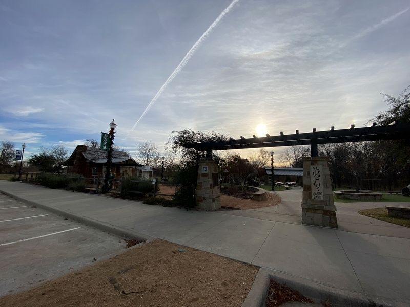
Photographed by Morgan Petermann, December 19, 2023
3. Community of Little Elm Marker
Credits. This page was last revised on November 30, 2024. It was originally submitted on December 19, 2023, by Morgan Petermann of Hurst, Texas. This page has been viewed 848 times since then and 118 times this year. Photos: 1, 2, 3. submitted on December 19, 2023, by Morgan Petermann of Hurst, Texas. • James Hulse was the editor who published this page.
