Keller in Tarrant County, Texas — The American South (West South Central)
First Baptist Church of Keller
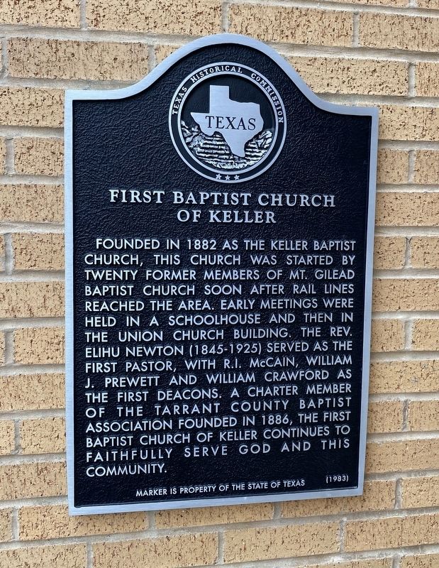
Photographed by Morgan Petermann, December 21, 2023
1. First Baptist Church of Keller Marker
Erected 1983 by Texas Historical Commission. (Marker Number 1643.)
Topics. This historical marker is listed in this topic list: Religion & Religious Structures. A significant historical year for this entry is 1882.
Location. 32° 56.226′ N, 97° 15.005′ W. Marker is in Keller, Texas, in Tarrant County. It is at the intersection of Lorine Street and College Avenue, on the left when traveling west on Lorine Street. Touch for map. Marker is in this post office area: Keller TX 76248, United States of America. Touch for directions.

Regionally, this marker is in the Prairies & Lakes
this page online
Other nearby markers. At least 8 other markers are within 4 miles of this marker, measured as the crow flies: Keller (approx. 0.7 miles away); Bourland Cemetery (approx. 0.8 miles away); Keller Methodist Church (approx. 1.2 miles away); Mount Gilead Cemetery (approx. 1.9 miles away); Mount Gilead Baptist Church (approx. 1.9 miles away); Pioneer Stone Burial Cairns (approx. 1.9 miles away); Star Stagecoach Route (approx. 2.4 miles away); Buck T. King Homestead (approx. 3.6 miles away). Touch for a list and map of all markers in Keller.
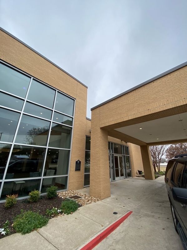
Photographed by Morgan Petermann, December 21, 2023
2. First Baptist Church of Keller Marker

Photographed by Matthew G French, September 13, 2024
3. First Baptist Church of Keller Marker
Credits. This page was last revised on September 15, 2024. It was originally submitted on December 21, 2023, by Morgan Petermann of Hurst, Texas. This page has been viewed 704 times since then and 88 times this year. Photos: 1, 2. submitted on December 21, 2023, by Morgan Petermann of Hurst, Texas. 3. submitted on September 13, 2024, by Matthew G French of Fort Worth, Texas. • James Hulse was the editor who published this page.
