Keller in Tarrant County, Texas — The American South (West South Central)
Keller
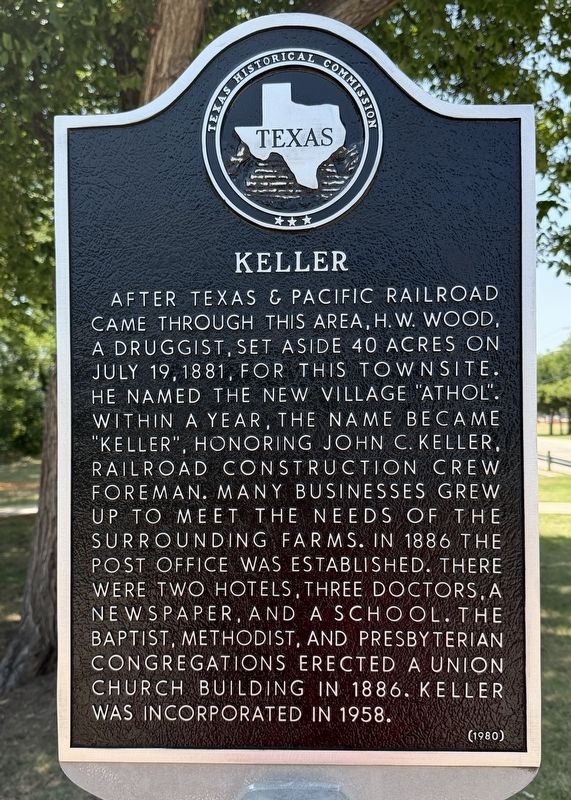
Photographed by Gary Estep, July 25, 2026
1. Keller Marker
Erected 1980 by Texas Historical Commission. (Marker Number 2912.)
Topics. This historical marker is listed in these topic lists: Railroads & Streetcars • Settlements & Settlers. A significant historical date for this entry is July 19, 1881.
Location. 32° 55.616′ N, 97° 14.948′ W. Marker is in Keller, Texas, in Tarrant County. It is at the intersection of Bear Creek Park Road and Bear Creek Parkway, on the right when traveling south on Bear Creek Park Road. Touch for map. Marker is in this post office area: Keller TX 76248, United States of America. Touch for directions.

Regionally,
this page online
Other nearby markers. At least 8 other markers are within 4 miles of this marker, measured as the crow flies: First Baptist Church of Keller (approx. 0.7 miles away); Bourland Cemetery (approx. 1.4 miles away); Keller Methodist Church (approx. 1½ miles away); Mount Gilead Baptist Church (approx. 2.2 miles away); Mount Gilead Cemetery (approx. 2.2 miles away); Pioneer Stone Burial Cairns (approx. 2.3 miles away); Star Stagecoach Route (approx. 3 miles away); Jellico (approx. 3.7 miles away). Touch for a list and map of all markers in Keller.
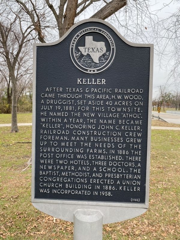
Photographed by Morgan Petermann, December 21, 2023
2. Keller Marker
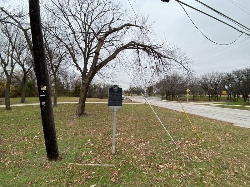
Photographed by Morgan Petermann, December 21, 2023
3. Keller Marker
Credits. This page was last revised on July 28, 2026. It was originally submitted on December 21, 2023, by Morgan Petermann of Hurst, Texas. This page has been viewed 683 times since then and 78 times this year. Photos: 1. submitted on July 25, 2026, by Gary Estep of Anna, Texas. 2, 3. submitted on December 21, 2023, by Morgan Petermann of Hurst, Texas. • James Hulse was the editor who published this page.
