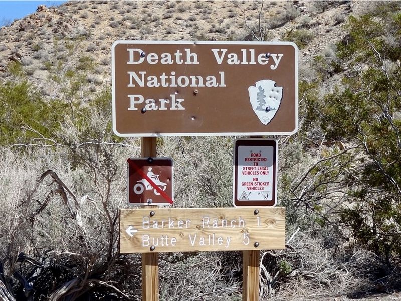
Death Valley National Park in Inyo county, California — The American West (Pacific Coastal)
Barker Ranch
Family Getaway
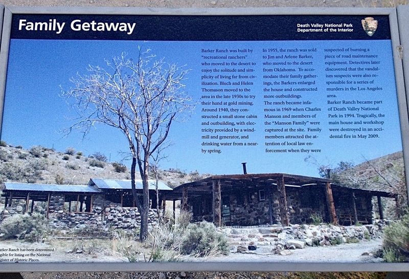
Barker Ranch was built by "recreational ranchers" who moved to the desert to enjoy the solitude and simplicity of living far from civilization, Bluch and Helen Thomason moved to the area in the late 1930s to try their hand at gold mining. Around 1940, they constructed a small stone cabin and outbuilding, with electricity provided by a windmill and generator, and drinking water from a nearby spring.
In 1955, the ranch was sold to Jim and Arlene Barker, who moved to the desert from Oklahoma. To accommodate their family gatherings, the Barkers enlarged the house and constructed more outbuildings.
The ranch became infamous in 1969 when Charles Manson and members of the "Manson Family" were captured at the site. Family members attracted the attention of local law enforcement when they were suspected of burning a piece of road maintenance equipment. Detectives later discovered that the vandalism suspects were also responsible for a series of murders in the Los Angeles area.
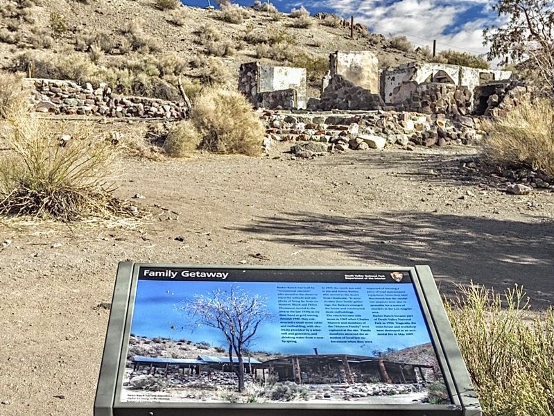
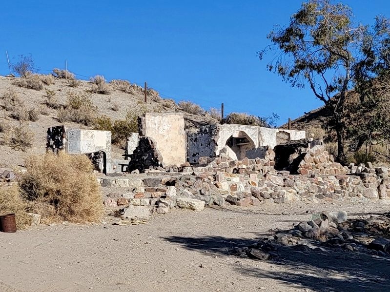
Barker Ranch became part of Death Valley National Park in 1994. Tragically, the main house and workshop were destroyed in an accidental fire in May 2009.
Barker Ranch has been determined eligible for listing on the National Register of Historic Places.
Erected by Death Valley National Park - Department of the Interior.
Topics. This historical marker is listed in these topic lists: Law Enforcement • Settlements & Settlers. A significant historical month for this entry is May 2009.
Location. 35° 51.576′ N, 117° 5.309′ W. Marker is in Death Valley National Park in Inyo county, California. Marker can be reached from Coyote Canyon Road, 6˝ miles east of Wingate Road. High clearance four wheel drive vehicle required. Touch for map. Marker is in this post office area: Trona CA 93562, United States of America. Touch for directions.
Other nearby markers. At least 6 other markers are within 17 miles of this marker, measured as the crow flies. Fish Canyon (approx. 9.4 miles away); Warm Springs Camp (approx. 11.6 miles away); Ballarat (approx. 15.1 miles away); Panamint City (approx. 16.2 miles away); a different marker also named Ballarat (approx. 16.2 miles away); a different marker also named Ballarat (approx. 16.2 miles away).
Credits. This page was last revised on December 24, 2023. It was originally submitted on December 23, 2023, by Craig Baker of Sylmar, California. This page has been viewed 67 times since then and 32 times this year. Photos: 1, 2, 3, 4, 5. submitted on December 23, 2023, by Craig Baker of Sylmar, California.
