Waverly in Bremer County, Iowa — The American Midwest (Upper Plains)
Waverly Cedar River Dam
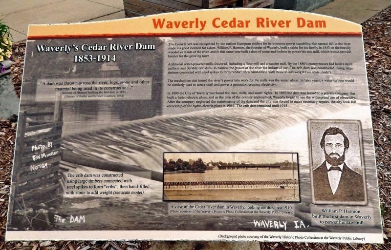
Waverly's Cedar River Dam, 1853-1914
material being used in its construction...”
Account of Harmon building the first dam in 1853,
(History of Butler and Bremer Counties, Iowa)
The Cedar River was recognized by the earliest European settlers for its immense power capability; the natural fall in the river made it a good location for a dam. William P. Harmon, the founder of Waverly, built a cabin for his family in 1853 on the heavily wooded east side of the river, and in that same year built a dam of stone and timbers to power his saw mill, which would provide lumber for the growing town.
Additional water-powered mills followed, including a flour mill and a woolen mill. By the 1880's entrepreneurs had built a more uniform and durable crib dam to harness the power of the river for industrial use. The crib dam was constructed using large timbers connected with steel spikes to form “cribs,” then hand-filled with stone to add weight (see scale model).
The mechanism that turned the river's power into work for the mills was the water wheel. In later years, a water turbine would be similarly used to turn a shaft and power a generator, creating electricity.
In 1890 the City of Waverly purchased the dam, mills, and water rights. In 1892 the dam was leased to a private company that built a hydro-electric plant, and as the turn of the century approached, Waverly began to see the widespread use of electricity. After the company neglected the maintenance of the dam and the city was forced to make necessary repairs, the city took full ownership of the hydro-electric plant in 1904. The crib dam remained until 1915.
[photo captions]
• A view of the Cedar River dam in Waverly, looking north, Circa 1910(Background photo courtesy of the Waverly Historic Photo Collection at the Waverly Public Library.)
• William P. Harmon, built the first dam in Waverly to power his saw mill.
Topics. This historical marker is listed in these topic lists: Industry & Commerce • Settlements & Settlers • Waterways & Vessels. A significant historical year for this entry is 1853.
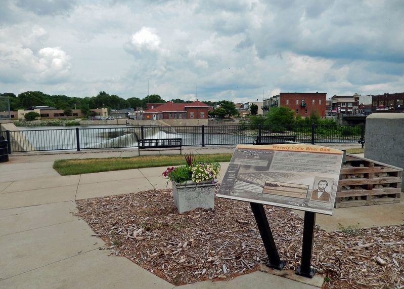
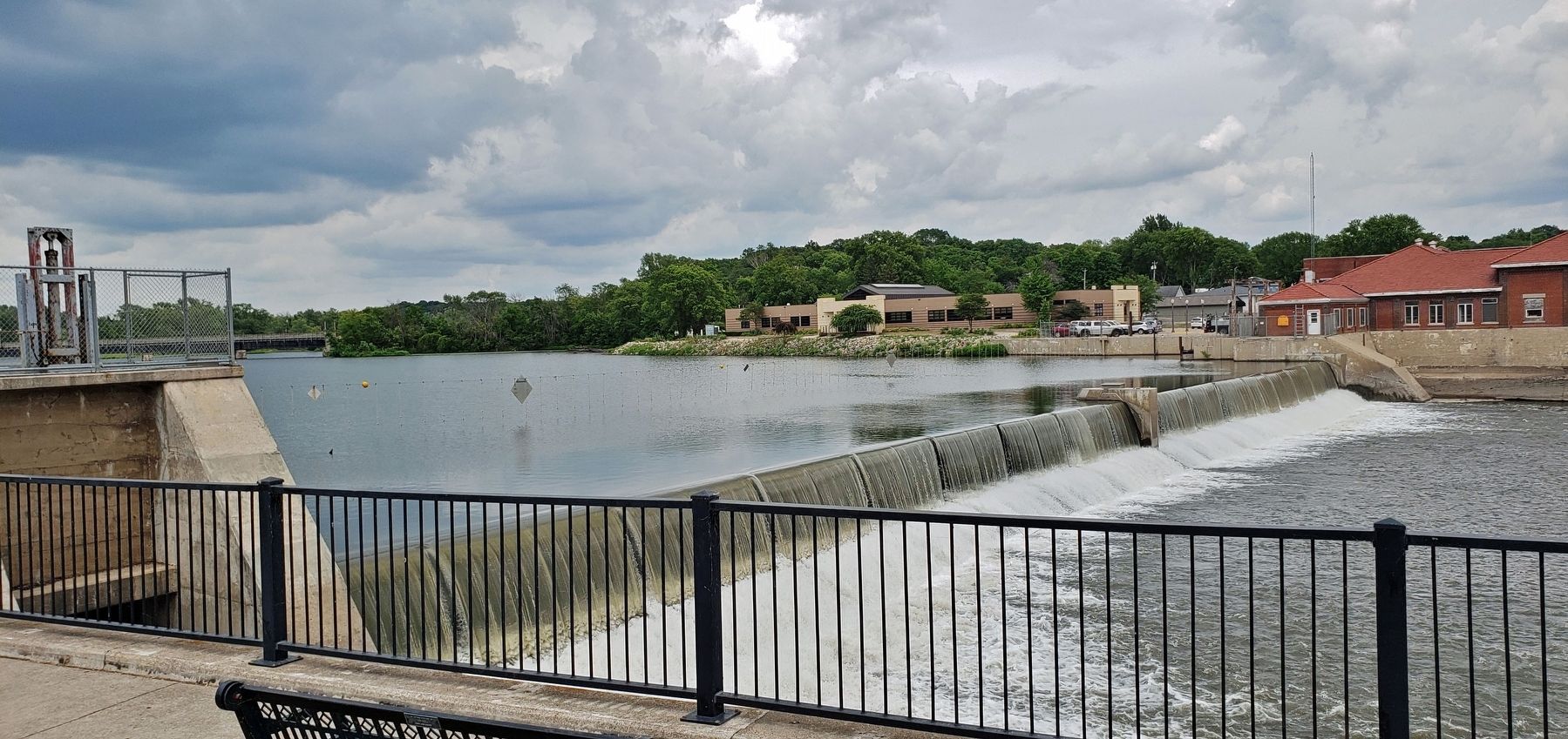
Location. 42° 43.582′ N, 92° 28.297′ W. Marker is in Waverly, Iowa, in Bremer County. Marker is on 1st Street Northwest just north of East Bremer Avenue (Iowa Route 3), on the right when traveling north. The marker is located along the walkway in Kohlmann Park, overlooking the Cedar River Dam. Touch for map. Marker is at or near this postal address: 212 1st Street Northwest, Waverly IA 50677, United States of America. Touch for directions.
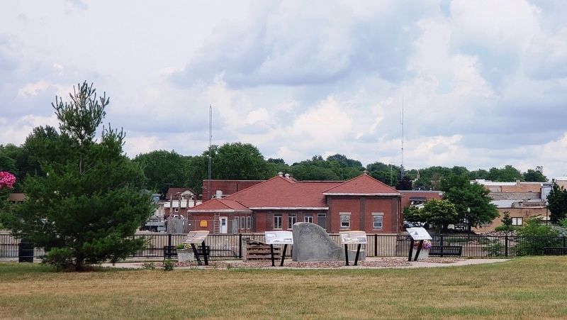
Other nearby markers. At least 8 other markers are within walking distance of this marker. A different marker also named Waverly Cedar River Dam (here, next to this marker); a different marker also named Waverly Cedar River Dam
(here, next to this marker); a different marker also named Waverly Cedar River Dam (a few steps from this marker); The Bremer Avenue Bridge over the Cedar River (within shouting distance of this marker); Rock Island Depot (about 300 feet away, measured in a direct line); Bremer County World War Memorial (approx. 0.3 miles away); Bremer County Courthouse (approx. 0.3 miles away); Replica of the Statue of Liberty (approx. 0.3 miles away). Touch for a list and map of all markers in Waverly.
Related markers. Click here for a list of markers that are related to this marker. Waverly Cedar River Dam
Also see . . . Waverly Cedar River Dam. Excerpt:
Waverly straddles the Cedar River roughly 15 miles due north of Cedar Falls and had a population of about 9,000 in 2008. In 1856, the city’s first settler chose the location to build a dam that powered his sawmill. Flour mills, a woolen mill, and Iowa’s oldest hydroelectric plant (built in 1908) followed. Along the way, the dam was rebuilt in the 1880s and again in 1915. The mills eventually disappeared, but the hydroelectric plant continues to whir along, saving the city about $100,000 worth of electricity a year.(Submitted on December 24, 2023, by Cosmos Mariner of Cape Canaveral, Florida.)
Credits. This page was last revised on December 25, 2023. It was originally submitted on December 23, 2023, by Cosmos Mariner of Cape Canaveral, Florida. This page has been viewed 57 times since then and 19 times this year. Photos: 1, 2, 3, 4. submitted on December 24, 2023, by Cosmos Mariner of Cape Canaveral, Florida.


