Waverly in Bremer County, Iowa — The American Midwest (Upper Plains)
Waverly Cedar River Dam
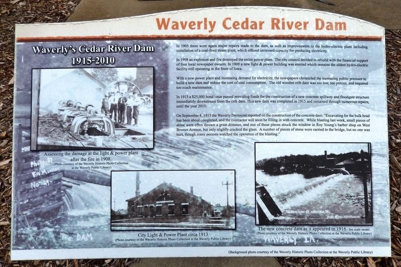
Waverly's Cedar River Dam, 1915-2010
In 1908 an explosion and fire destroyed the entire power plant. The city council decided to rebuild with the financial support of four local newspaper owners. In 1909 a new light & power building was erected which remains the oldest hydro-electric facility still operating in the State of Iowa.
With a new power plant and increasing demand for electricity, the newspapers chronicled the increasing public pressure to build a new dam and reduce the cost of coal consumption. The old wooden crib dam was too low, too porous, and required too much maintenance.
In 1913 a $25,000 bond issue passed providing funds for the construction of a new concrete spillway and floodgate structure immediately downstream from the crib dam. This new dam was completed in 1915 and remained through numerous repairs, until the year 2010.
On September 4, 1913 the Waverly Democrat reported on the construction of the concrete dam: “Excavating for the bulk head has been about completed, and the contractor will soon be filling in with concrete. While blasting last week, small pieces of stone were often thrown a great distance, and one of these pieces struck the window in Roy Young's barber shop on West Bremer Avenue, but only slightly cracked the glass. A number of pieces of stone were carried to the bridge, but no one was hurt, though many persons watched the operation of the blasting.”
[photo captions]
• City Light & Power Plant circa 1913.(Background photo courtesy of the Waverly Historic Photo Collection at the Waverly Public Library.)
• The new concrete dam as it appeared in 1916.
Topics. This historical marker is listed in these topic lists: Disasters • Industry & Commerce • Waterways & Vessels. A significant historical year for this entry is 1915.
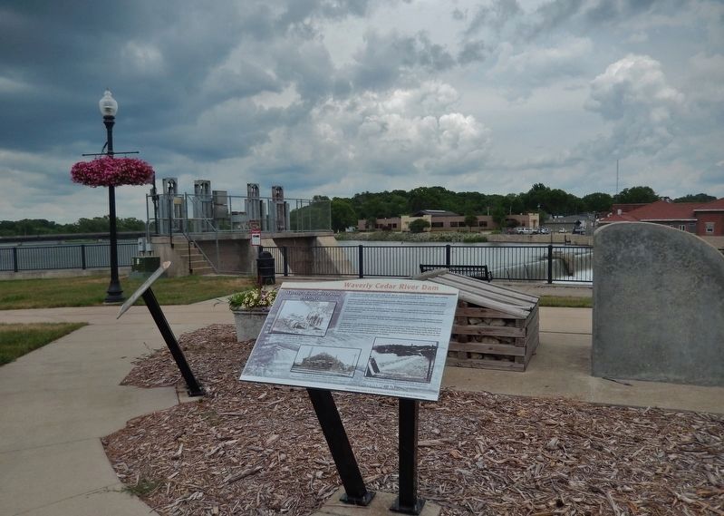
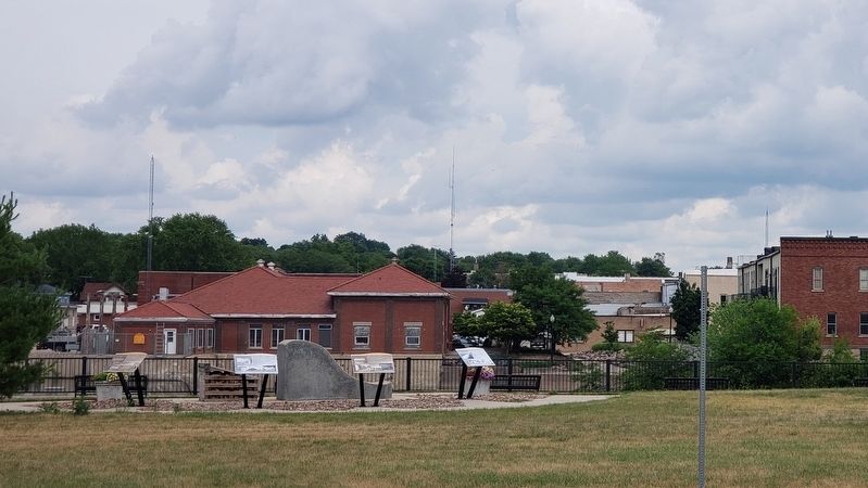
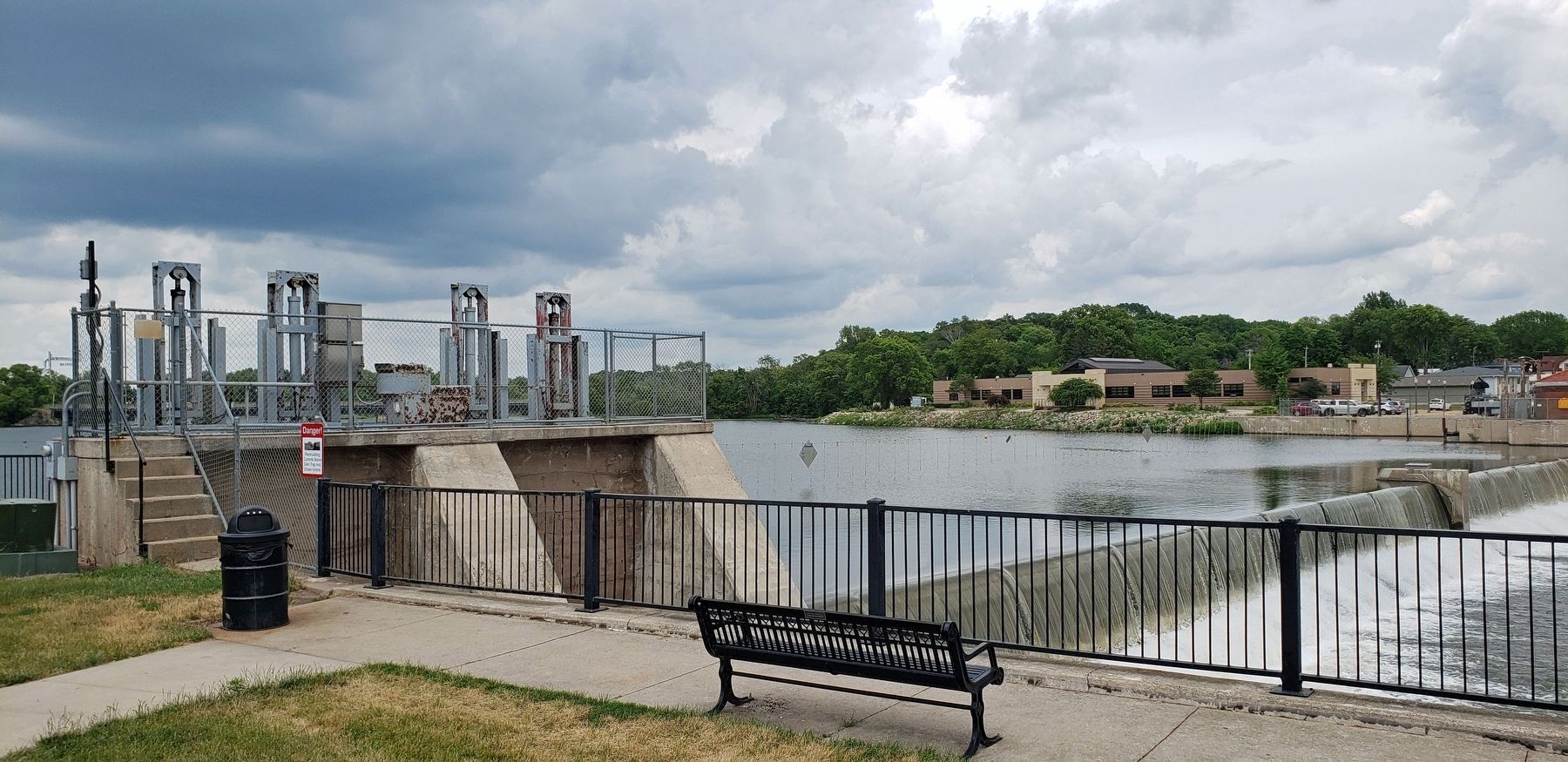
Location. 42° 43.581′ N, 92° 28.298′ W. Marker is in Waverly, Iowa, in Bremer County. Marker is on 1st Street Northwest just north of East Bremer Avenue (State Route 3), on the right when traveling north. The marker is located along the walkway in Kohlmann Park, overlooking the Cedar River Dam. Touch for map. Marker is at or near this postal address: 212 1st Street Northwest, Waverly IA 50677, United States of America. Touch for directions.
Other nearby markers. At least 8 other markers are within walking distance of this marker. A different marker also named Waverly Cedar River Dam (here, next to this marker); a different marker also named Waverly Cedar River Dam (here, next to this marker); a different marker also named Waverly Cedar River Dam (here,
next to this marker); The Bremer Avenue Bridge over the Cedar River (within shouting distance of this marker); Rock Island Depot (about 300 feet away, measured in a direct line); Bremer County World War Memorial (approx. 0.3 miles away); Replica of the Statue of Liberty (approx. 0.3 miles away); Bremer County Courthouse (approx. 0.3 miles away). Touch for a list and map of all markers in Waverly.
Related markers. Click here for a list of markers that are related to this marker. Waverly Cedar River Dam
Credits. This page was last revised on December 25, 2023. It was originally submitted on December 24, 2023, by Cosmos Mariner of Cape Canaveral, Florida. This page has been viewed 56 times since then and 11 times this year. Photos: 1. submitted on December 24, 2023, by Cosmos Mariner of Cape Canaveral, Florida. 2, 3, 4, 5. submitted on December 25, 2023, by Cosmos Mariner of Cape Canaveral, Florida.


