Estherville in Emmet County, Iowa — The American Midwest (Upper Plains)
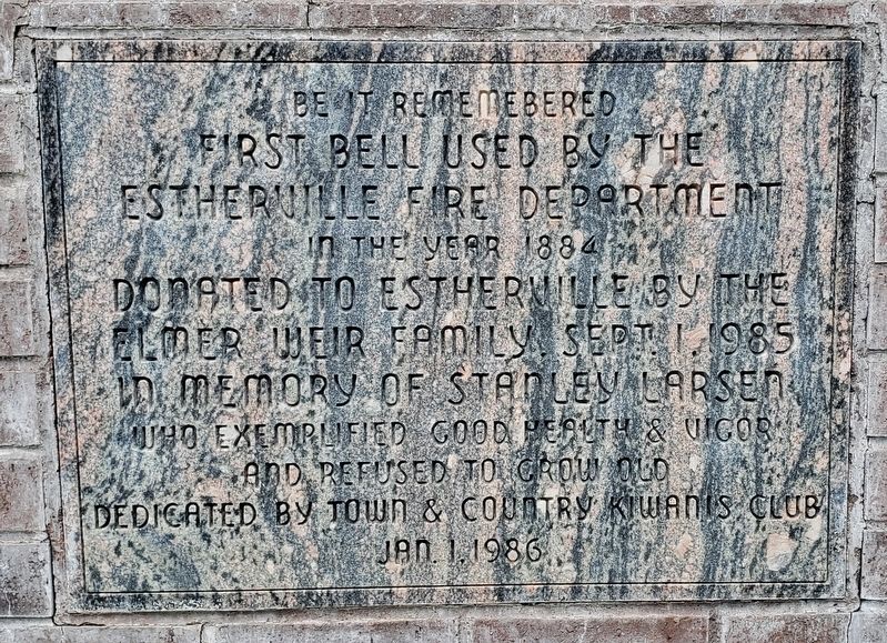
First Bell Used by the Estherville Fire Department
In the Year 1884
Photographed by Cosmos Mariner, June 29, 2021
1. First Bell Used by the Estherville Fire Department Marker
Erected 1986 by Town & Country Kiwanis Club.
Topics and series. This historical marker is listed in these topic lists: Charity & Public Work • Communications. In addition, it is included in the Historic Bells, and the Kiwanis series lists. A significant historical year for this entry is 1884.
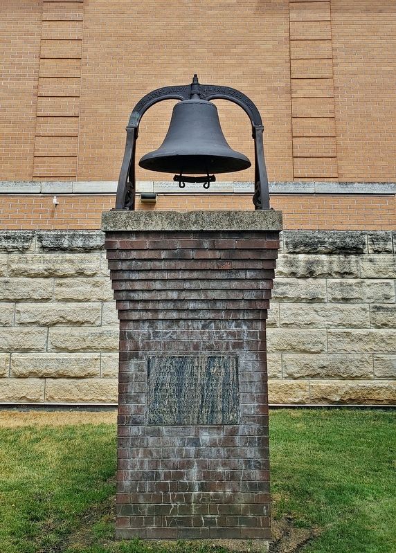
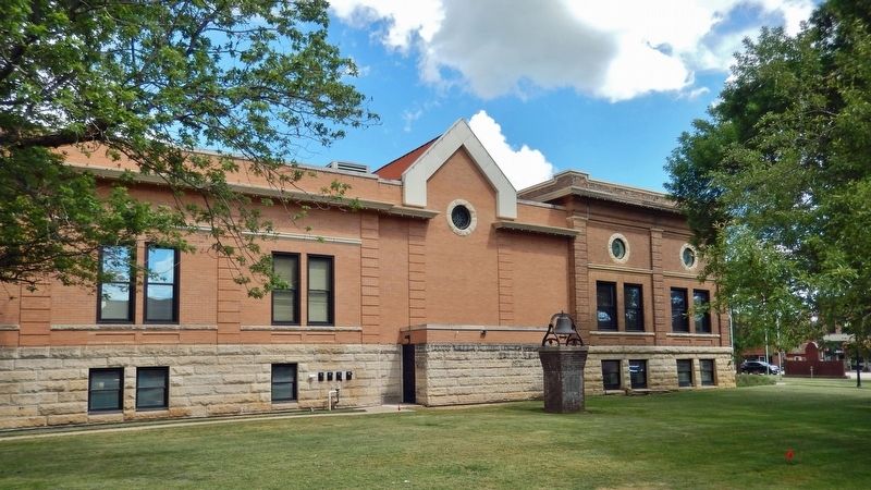
Location. 43° 24.156′ N, 94° 50.173′ W. Marker is in Estherville, Iowa, in Emmet County. It is on North 6th Street just north of Central Avenue (State Route 9), on the right when traveling north. The marker and bell are located on the west side of the Estherville Public Library. Touch for map. Marker is at or near this postal address: 613 Central Avenue, Estherville IA 51334, United States of America. Touch for directions.

Regionally, this marker is in North Iowa and specifically in Iowa Great Lakes. It is also in the American Midwest and in the Corn Belt. Globally, it is in North America, the Western Hemisphere, the Western World, and the Anglosphere. Historically,
this page online
Other nearby markers. At least 7 other markers are within 13 miles of this marker, measured as the crow flies: Emmet County Veterans Memorial (within shouting distance of this marker); Fort Defiance (about 300 feet away, measured in a direct line); Estherville Swinging Bridge (approx. 0.4 miles away); a different marker also named Estherville Swinging Bridge (approx. 0.4 miles away); The Estherville Meteorite (approx. 2.7 miles away); State Line Congregation (approx. 7.4 miles away); De Soto (approx. 12.7 miles away in Minnesota).
Photographed by Cosmos Mariner, June 29, 2021
2. First Bell Used by the Estherville Fire Department & Marker
Photographed by Cosmos Mariner, June 29, 2021
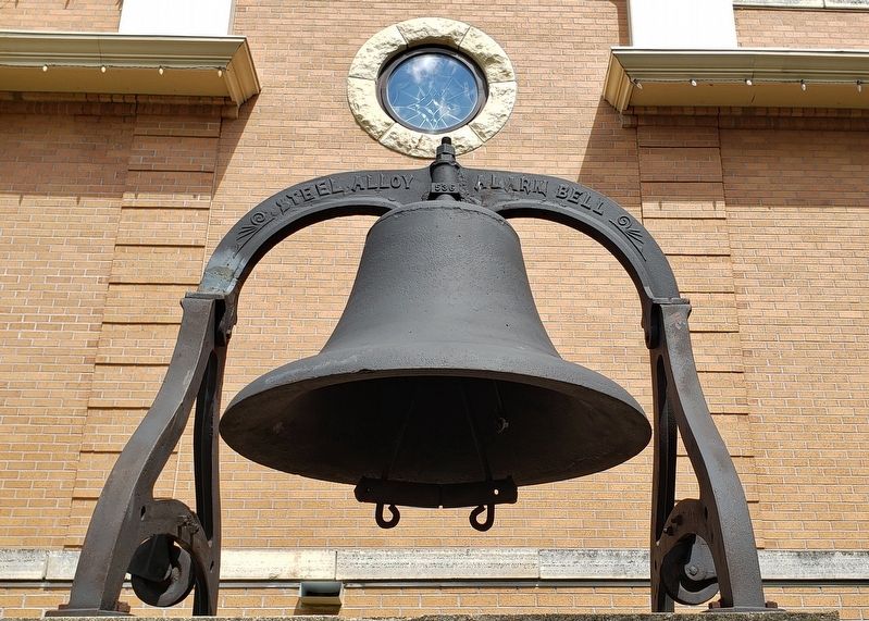
3. First Bell Used by the Estherville Fire Department
Photographed by Cosmos Mariner, June 29, 2021
4. First Bell Used by the Estherville Fire Department Marker
Looking southeast from North 6th Street. Estherville Public Library in background.
Credits. This page was last revised on December 26, 2023. It was originally submitted on December 24, 2023, by Cosmos Mariner of Cape Canaveral, Florida. This page has been viewed 186 times since then and 23 times this year. Photos: 1, 2, 3, 4. submitted on December 26, 2023, by Cosmos Mariner of Cape Canaveral, Florida.
