Lafayette in Lafayette Parish, Louisiana — The American South (West South Central)
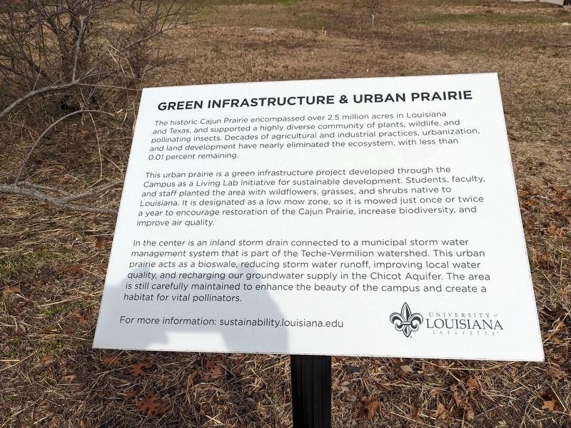
Green Infrastructure & Urban Prairie
The historic Cajun Prairie encompassed over 2.5 million acres in Louisiana and Texas, and supported a highly diverse community of plants, wildlife, and pollinating insects. Decades of agricultural and industrial practices, urbanization, and land development have nearly eliminated the ecosystem, with less than 0.01 percent remaining.
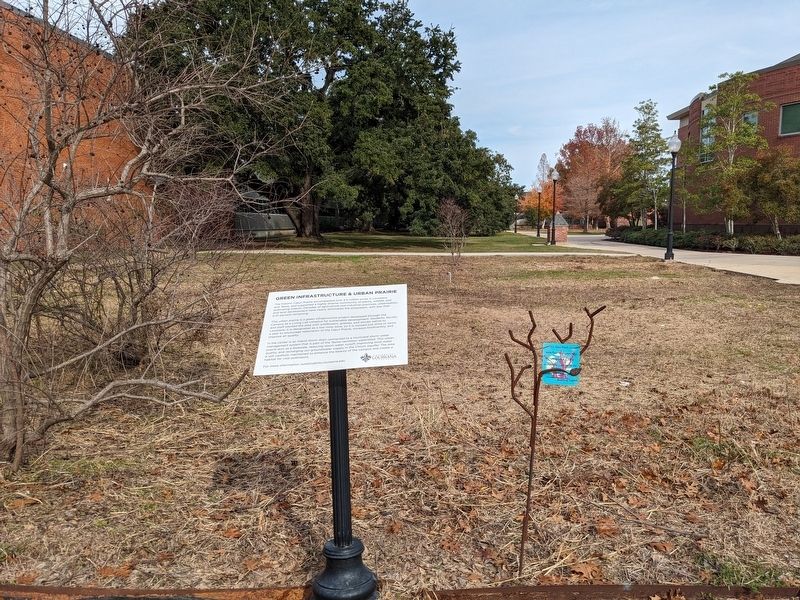
This urban prairie is a green infrastructure project developed through the Campus as a Living Lab initiative for sustainable development. Students, faculty, and staff planted the area with wildflowers, grasses, and shrubs native to Louisiana. It is designated as a low mow zone, so it is mowed just once or twice a year to encourage restoration of the Cajun Prairie, increase biodiversity, and improve air quality.
In the center is an inland storm drain connected to a municipal storm water management system that is part of the Teche-Vermilion watershed. This urban prairie acts as a bioswale, reducing storm water runoff, improving local water quality, and recharging our groundwater supply in the Chicot Aquifer. The area is still carefully maintained to enhance the beauty of the campus and create a habitat for vital pollinators.
Erected by University of Louisiana Lafayette.
Topics. This historical marker is listed in these topic lists: Environment • Natural Resources.
Location. 30° 12.636′ N, 92° 1.272′ W. Marker is in Lafayette, Louisiana, in Lafayette Parish. Marker can be reached from East Lewis Street near Girard Park Circle. Touch for map. Marker is at or near this postal address: 271 E Lewis St, Lafayette LA 70503, United States of America. Touch for directions.
Other nearby markers. At least 8 other markers are within walking distance of this marker. McNaspy Stadium Memorial (within shouting distance of this marker); Eddy and Ann Knight (about 400 feet away, measured in a direct line); Amédé Ardoin / Dennis McGee (about 400 feet away); Concentrated Solar Power (CSP) Demo Unit (about 500 feet away); Solar Thermal Applied Research and Testing (START) Lab (about 500 feet away); Pillars of Progress (approx. 0.2 miles away); University of Louisiana at Lafayette 50th Anniversary of Desegregation (approx. 0.2 miles away); University of Louisiana at Lafayette (approx. 0.2 miles away). Touch for a list and map of all markers in Lafayette.
More about this marker. Located between Oliver Hall and Griffin Hall on the ULL campus
Credits. This page was last revised on December 27, 2023. It was originally submitted on December 27, 2023, by Cajun Scrambler of Assumption, Louisiana. This page has been viewed 131 times since then and 10 times this year. Photos: 1, 2. submitted on December 27, 2023, by Cajun Scrambler of Assumption, Louisiana.

