Oakville in Halton Region, Ontario — Central Canada (North America)
Commercial Buildings
— Sixteen Mile Creek Trail —
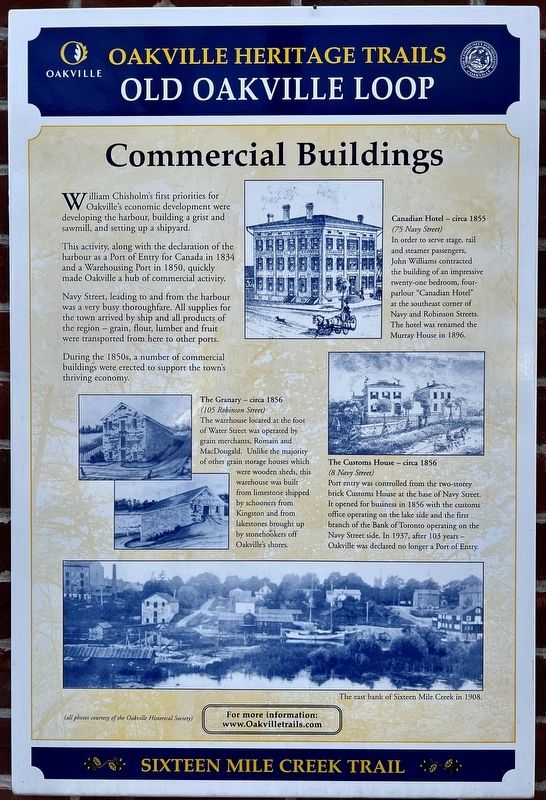
William Chisholm’s first priorities for Oakville’s economic development were developing the harbour, building a grist and sawmill, and setting up a shipyard.
This activity, along with the declaration of the harbour as a Port of Entry for Canada in 1834 and a Warehousing Port in 1850, quickly made Oakville a hub of commercial activity.
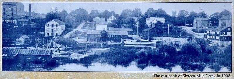
Navy Street, leading to and from the harbour was a very busy thoroughfare. All supplies for the town arrived by ship and all products of the region - grain, flour, lumber and fruit were transported from here to other ports.
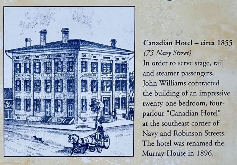
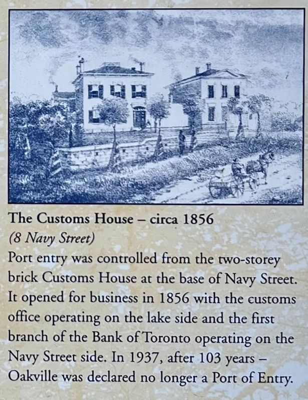
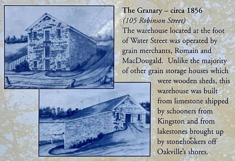
During the 1850s, a number of commercial buildings were erected to support the town's thriving economy.
Erected by Town of Oakville.
Topics. This historical marker is listed in these topic lists: Architecture • Industry & Commerce. A significant historical year for this entry is 1834.
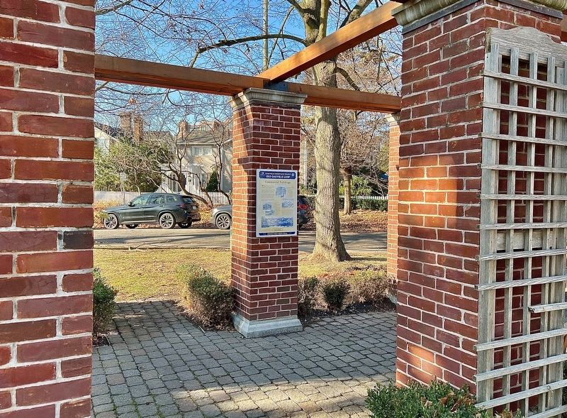
Location. 43° 26.576′ N, 79° 40.1′ W. Marker is in Oakville, Ontario, in Halton Region. Marker is at the intersection of Navy Street and William Street, on the right when traveling south on Navy Street. The marker is in Civic Park. Touch for map. Marker is at or near this postal address: 54 Navy Street, Oakville ON L6J L6J, Canada. Touch for directions.
Other nearby markers. At least 8 other markers are within walking distance of this marker. Period Homes (here, next to this marker); a different marker also named Period Homes (here, next to this marker); The Lock-up & Town Hall (here, next to this marker); Vision for Oakville (here, next to this marker); Early Leaders (here, next to this marker); Lakeside Park Bandstand (about 180 meters away, measured in a direct line); Colonel William Chisholm (about 210 meters away); Oakville’s Meeting Hall (approx. 0.3 kilometers away). Touch for a list and map of all markers in Oakville.
Credits. This page was last revised on December 31, 2023. It was originally submitted on December 27, 2023, by Tim Boyd of Hamilton, Ontario. This page has been viewed 39 times since then and 14 times this year. Photos: 1, 2, 3, 4, 5, 6. submitted on December 27, 2023, by Tim Boyd of Hamilton, Ontario. • Andrew Ruppenstein was the editor who published this page.
