Havre de Grace in Harford County, Maryland — The American Northeast (Mid-Atlantic)
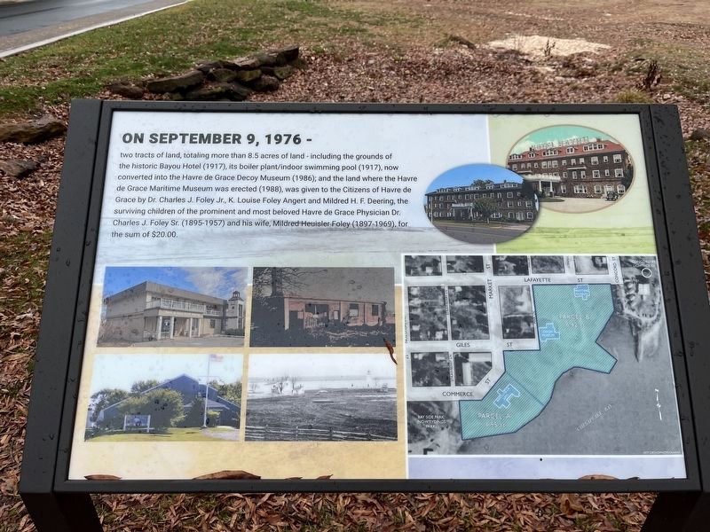
On September 9, 1976 –
On September 9, 1976 -
two tracts of land, totaling more than 8.5 acres of land — including the grounds of the historic Bayou Hotel (1917), its boiler plant/indoor swimming pool (1917), now converted into the Havre de Grace Decoy Museum (1986); and the land where the Havre de Grace Maritime Museum was erected (1988), was given to the Citizens of Havre de Grace by Dr. Charles J. Foley Jr., K. Louise Foley Angert and Mildred H. F. Deering, the surviving children of the prominent and most beloved Havre de Grace Physician Dr. Charles J. Foley Sr. (1895-1957) and his wife, Mildred Heuisler Foley (1897-1969), for the sum of $20.00.
Topics. This historical marker is listed in these topic lists: Entertainment • Industry & Commerce • Parks & Recreational Areas • Settlements & Settlers. A significant historical date for this entry is September 9, 1976.
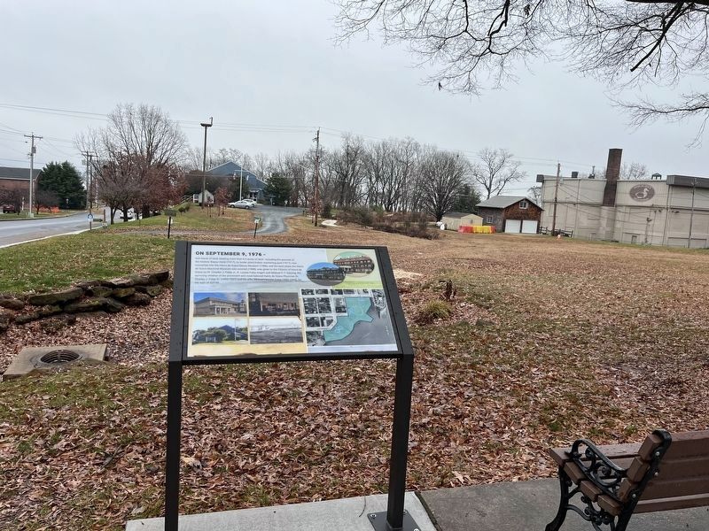
Location. 39° 32.431′ N, 76° 5.266′ W. Marker is in Havre de Grace, Maryland, in Harford County. Marker is at the intersection of Market Street and Lafayette Street, on the right on Market Street. Touch for map. Marker is at or near this postal address: 800 Market St, Havre de Grace MD 21078, United States of America. Touch for directions.
Other nearby markers. At least 8 other markers are within walking distance of this marker. This Wye Oak (within shouting distance of this marker); Heirloom (within shouting distance of this marker); The Boyer Family Shad Shack (about 300 feet away, measured in a direct line); Pensell Propeller (about 300 feet away); Anchors (about 400 feet away); Aids to Navigation Fog Bell (about 400 feet away); Nun Buoy (about 500 feet away); Lure of the Chesapeake (about 500 feet away). Touch for a list and map of all markers in Havre de Grace.
Credits. This page was last revised on December 29, 2023. It was originally submitted on December 27, 2023, by Adam Margolis of Mission Viejo, California. This page has been viewed 67 times since then and 17 times this year. Photos: 1, 2. submitted on December 27, 2023, by Adam Margolis of Mission Viejo, California. • Devry Becker Jones was the editor who published this page.

