Oakville in Halton Region, Ontario — Central Canada (North America)
The Lock-up & Town Hall
— Sixteen Mile Creek Trail —
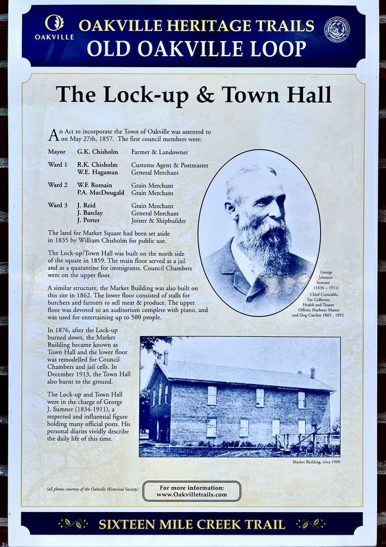
An Act to incorporate the Town of Oakville was assented to on May 27th, 1857. The first council members were:
Mayor G.K. Chisholm Farmer & Landowner
Ward 1 R.K. Chisholm Customs Agent & Postmaster
W.E. Hagaman General Merchant
Ward 2 W.F. Romain Grain Merchant
P.A. MacDougald Grain Merchant
Ward 3 J. Reid. Grain Merchant
J. Barclay General Merchant
J. Potter Joiner & Shipbuilder
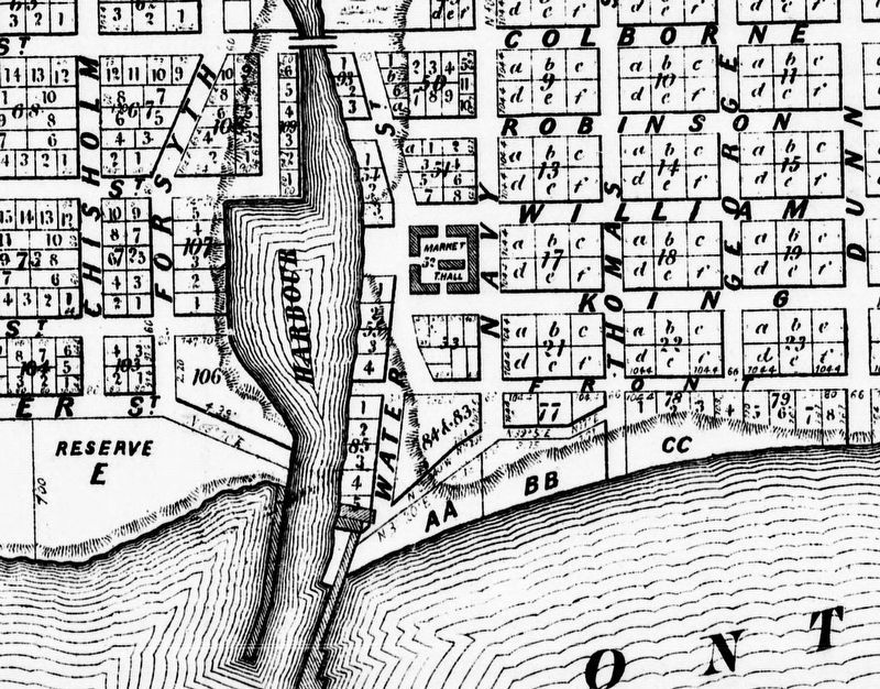
The land for Market Square had been set aside in 1835 by William Chisholm for public use.
The Lock-up/Town Hall was built on the north side of the square in 1859. The main floor served as a jail and as a quarantine for immigrants. Council Chambers were on the upper floor.
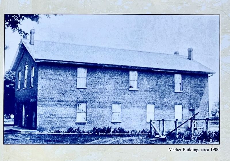
A similar structure, the Market Building was also built on this site in 1862. The lower floor consisted of stalls for butchers and farmers to sell meat & produce. The upper floor was devoted to an auditorium complete with piano, and was used for entertaining up to 500 people.
In 1876, after the Lock-up burned down, the Market Building became known as Town Hall and the lower floor was remodelled for Council Chambers and jail cells. In December 1913, the Town Hall also burnt to the ground.
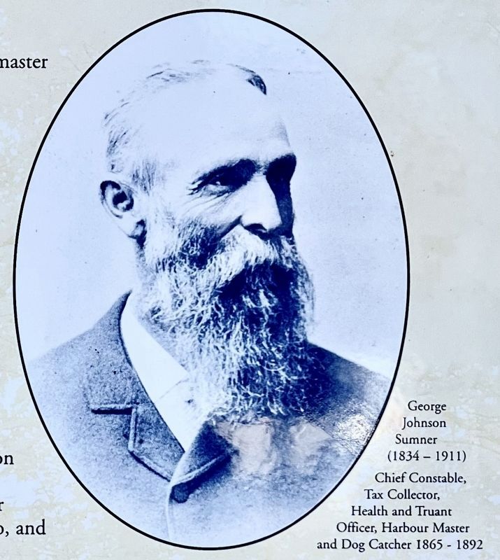
The Lock-up and Town Hall were in the charge of George J. Sumner (1834-1911), a respected and influential figure holding many official posts. His personal diaries vividly describe the daily life of this time.
Erected by Town of Oakville.
Topics. This historical marker is listed in these topic lists: Architecture • Industry & Commerce • Law Enforcement • Settlements & Settlers. A significant historical year for this entry is 1857.
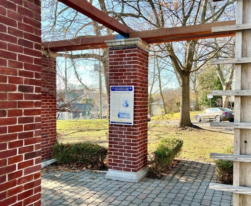
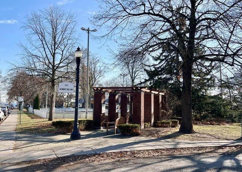
Location. 43° 26.575′ N, 79° 40.1′ W. Marker is in Oakville, Ontario, in Halton Region. Marker is at the intersection of Navy Street and William Street, on the right when traveling south on Navy Street. The marker is in Civic Park, site of the Oakville Market Square, and Town Hall. Touch for map. Marker is at or near this postal address: 54 Navy Street, Oakville ON L6J L6J, Canada. Touch for directions.
Other nearby markers. At least 8 other markers are within walking distance of this marker. Commercial Buildings (here, next to this marker); Period Homes (here, next to this marker); a different marker also named Period Homes (here, next to this marker); Vision for Oakville (a few steps from this marker); Early Leaders (a few steps from this marker); Lakeside Park Bandstand (about 180 meters away, measured in a direct line); Colonel William Chisholm (about 210 meters away); Oakville’s Meeting Hall (approx. 0.3 kilometers away). Touch for a list and map of all markers in Oakville.
Credits. This page was last revised on December 31, 2023. It was originally submitted on December 28, 2023, by Tim Boyd of Hamilton, Ontario. This page has been viewed 110 times since then and 101 times this year. Photos: 1, 2, 3, 4, 5, 6. submitted on December 28, 2023, by Tim Boyd of Hamilton, Ontario. • Andrew Ruppenstein was the editor who published this page.
