Near Sulphur Springs in Hopkins County, Texas — The American South (West South Central)
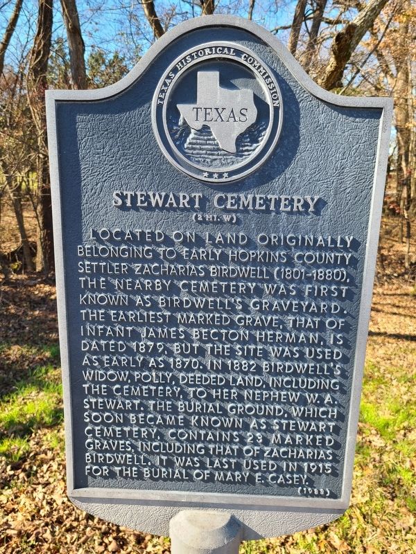
Stewart Cemetery
(2 mi. W)
Erected 1983 by Texas Historical Commission. (Marker Number 7327.)
Topics. This historical marker is listed in this topic list: Cemeteries & Burial Sites.
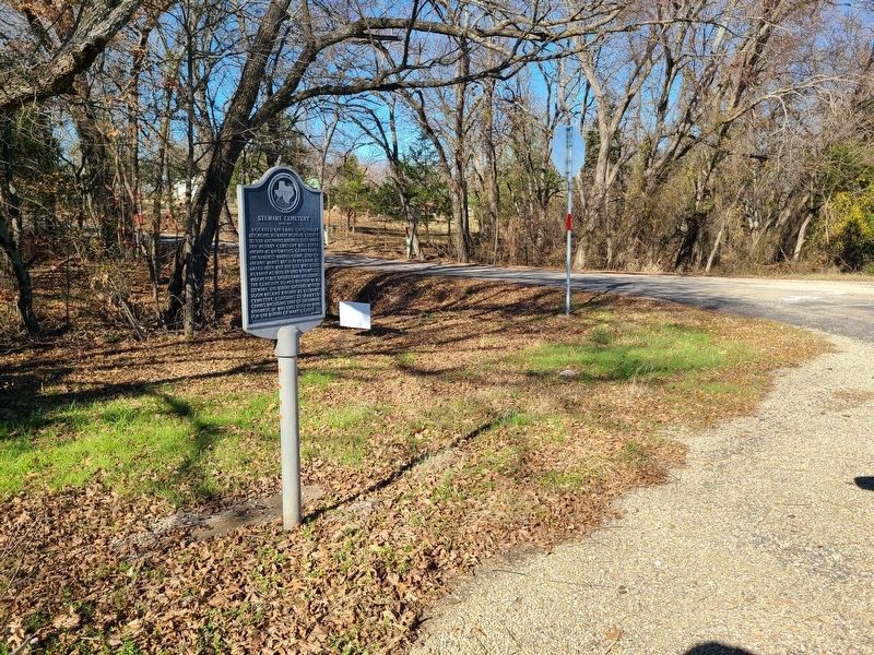
Location. 33° 13.046′ N, 95° 46.025′ W. Marker is near Sulphur Springs, Texas, in Hopkins County. Marker is at the intersection of Farm to Market Road 2653 and County Road 4738, on the left when traveling north on Road 2653. Touch for map. Marker is in this post office area: Sulphur Springs TX 75482, United States of America. Touch for directions.
Other nearby markers. At least 8 other markers are within 8 miles of this marker, measured as the crow flies. Oakland Cumberland Presbyterian Church (approx. 0.4 miles away); Mt. Zion Churches and Cemetery (approx. 4 miles away); Site of Plunkett School (approx. 5.8 miles away); Cumby (approx. 6.9 miles away); Josiah Hart Jackson, Texas Ranger (approx. 7˝ miles away); Mt. Moriah Temple Baptist Church (approx. 7˝ miles away); John T. Knight (approx. 7˝ miles away); Site of Early Commerce Schools (approx. 7.8 miles away).
Credits. This page was last revised on December 31, 2023. It was originally submitted on December 30, 2023, by Jesse Nelsen of Farmersville, Texas. This page has been viewed 69 times since then and 43 times this year. Photos: 1, 2. submitted on December 30, 2023, by Jesse Nelsen of Farmersville, Texas. • James Hulse was the editor who published this page.

