Bingham Canyon near Herriman in Salt Lake County, Utah — The American Mountains (Southwest)
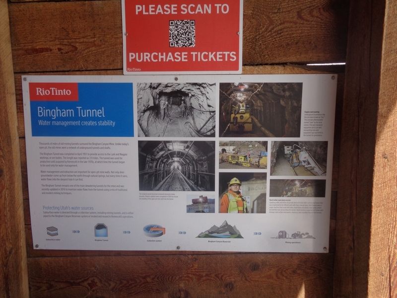
Bingham Tunnel
RioTinto
— Water management creates stability —
The Bingham Tunnel was completed in April 1951 to provide access to the Lark and Niagara workings, or ore bodies. The length was reported as 3.9 miles. The tunnel was used for production until acquired by Kennecott in the late 1970s, at which time the tunnel began to be used only for water management.
Water management and extraction are important for open-pit mine walls. Not only does groundwater come up from below the earth through natural springs, but every time it rains, water flows into the deepest hole it can find.
The Bingham Tunnel remains one of the main dewatering tunnels for the mine and was recently updated in 2016 to maintain water flows from the tunnel using a mix of traditional and modern mining techniques.
Protecting Utah's water sources
Subsurface water is directed through a collection system, including mining tunnels, and is either piped to the Bingham Canyon Reservoir system or treated and reused in Kennecott's operations.
Subsurface water -> Bingham Tunnel -> Collection system -> Bingham Canyon Reservoir -> Mining operations
(photo captions:)
·The original tunnel structure remained strong for many decades. Modern updates were completed in 2016 to ensure the stability of the open-pit mine well into the future.
·Engine and mantrip
Underground locomotives like this one were known as "loci." This one was affectionately named "Joan" by the local miners. This well-designed equipment did its job well, transporting men and equipment back and forth in the tunnels for generations.
·Rock bolter and steel erector
Updating miles and miles of tunnels had to be done with custom machinery that was engineered to be efficient and safer than manual labor. Rock bolters were a single machine that could drill holes, insert bolts and attach steel plates which secured the rock surrounding the tunnel. Steel erectors supported old timber with stronger steel arches and beams, creating a rigid, rounded shape to the tunnels.
Erected by RioTinto.
Topics. This historical marker is listed in these topic lists: Industry & Commerce • Waterways & Vessels. A significant historical month for this entry is April 1951.
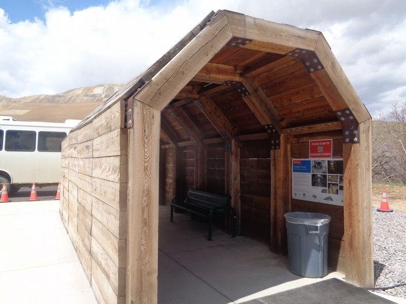
Location. 40° 31.206′ N, 112° 5.785′ W. Marker is near Herriman, Utah, in Salt Lake County. It is in Bingham Canyon. Marker can be reached from Bacchus Highway. Marker is outside the RioTinto Kennecott Visitor Experience building.
It is at the area where the buses drop visitors off. Touch for map. Marker is at or near this postal address: 12732 Bacchus Hwy, Herriman UT 84096, United States of America. Touch for directions.
Other nearby markers. At least 8 other markers are within 4 miles of this marker, measured as the crow flies. Bingham Canyon (approx. 2.8 miles away); The Town of Bingham Canyon (approx. 2.9 miles away); Stamp Mill Foundation (approx. 2.9 miles away); Copperton Community Methodist Church (approx. 2.9 miles away); Honoring with Glory (approx. 3 miles away); Bingham City Cemetery Veterans Memorial (approx. 3.3 miles away); Fort Herriman (approx. 3.3 miles away); Pioneer Rock Church (approx. 3.3 miles away). Touch for a list and map of all markers in Herriman.
Credits. This page was last revised on December 31, 2023. It was originally submitted on December 31, 2023, by Jason Voigt of Glen Carbon, Illinois. This page has been viewed 80 times since then and 68 times this year. Photos: 1, 2. submitted on December 31, 2023, by Jason Voigt of Glen Carbon, Illinois.

