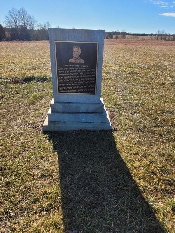
Brandy Station in Culpeper County, Virginia — The American South (Mid-Atlantic)
Lee's Forgotten Warrior
One June 9, 1863 Col. Solomon Williams (2nd NC) was killed one mile northwest of this spot. Maj. Gen. JEB Stuart immediately conferred command of the regiment to then Lt. Col. Payne. The 2nd NC broke camp near here on June 16, 1863, and Payne subsequently led them in the Gettysburg Campaign until his wounding and capture at Hanover.
Erected 2018.
Topics. This historical marker is listed in this topic list: War, US Civil. A significant historical month for this entry is June 1859.
Location. 38° 31.254′ N, 77° 51.964′ W. Marker is in Brandy Station, Virginia, in Culpeper County. Marker is at the intersection of St James Church Road (Virginia Route 676) and Beverly Ford Road, on the left when traveling west on St James Church Road. Located just south of the parking area near the American Battlefield Trust St. James Church Walking Trail. Touch for map. Marker is in this post office area: Brandy Station VA 22714, United States of America. Touch for directions.
Other nearby markers. At least 8 other markers are within walking distance of this marker. Battle of Brandy Station (within shouting distance of this marker); The 1863-64 Winter Encampment (about 800 feet away, measured in a direct line); a different marker also named Battle of Brandy Station (approx. 0.2 miles away); St. James Episcopal Church (approx. 0.2 miles away); a different marker also named The Battle of Brandy Station (approx. 0.3 miles away); a different marker also named The 1863-64 Winter Encampment (approx. 0.4 miles away); a different marker also named The Battle of Brandy Station (approx. half a mile away); Where Pelham Fell (approx. 0.9 miles away). Touch for a list and map of all markers in Brandy Station.
Credits. This page was last revised on January 1, 2024. It was originally submitted on January 1, 2024, by Mike McKeown of Baltimore, Maryland. This page has been viewed 65 times since then. Photo 1. submitted on January 1, 2024, by Mike McKeown of Baltimore, Maryland. • Bernard Fisher was the editor who published this page.
