Richland Township in Beaverdam in Allen County, Ohio — The American Midwest (Great Lakes)
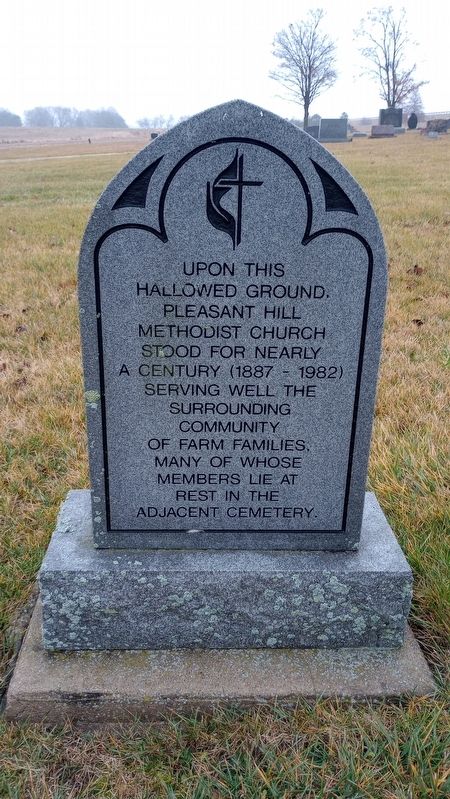
Upon This Hallowed Ground
Topics. This historical marker is listed in these topic lists: Cemeteries & Burial Sites • Churches & Religion.
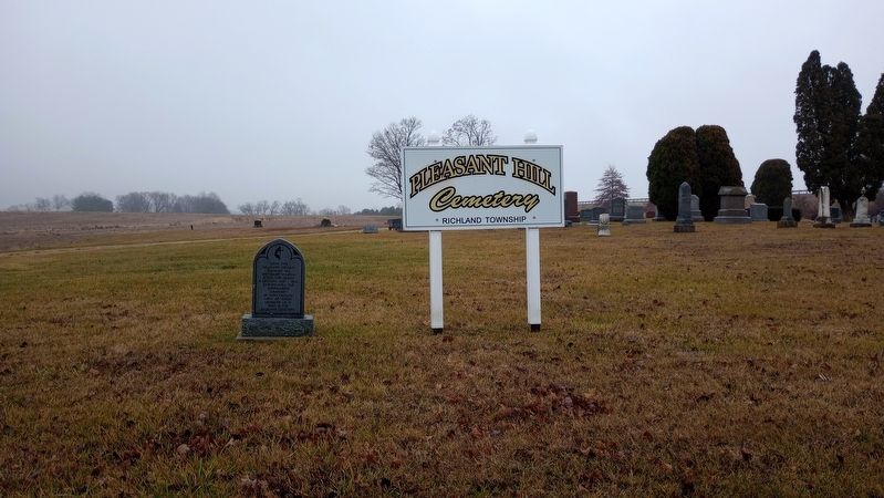
Location. 40° 49.644′ N, 83° 54.521′ W. Marker is in Beaverdam, Ohio, in Allen County. It is in Richland Township. Marker is on North Pevee Road, on the right when traveling north. Touch for map. Marker is at or near this postal address: 6043 N Pevee Road, Bluffton OH 45817, United States of America. Touch for directions.
Other nearby markers. At least 8 other markers are within 5 miles of this marker, measured as the crow flies. Lincoln Highway Memorial (approx. 3.2 miles away); Beaverdam Village Park (approx. 3.4 miles away); Beaverdam Veterans Memorial (approx. 3˝ miles away); Beaverdam & Vicinity World War II Memorial (approx. 3˝ miles away); Bluffton Veterans Memorial (approx. 4.6 miles away); Cob Lake World War II Honor Roll (approx. 4.7 miles away); Boehr Block (approx. 4.7 miles away); Celebrating Our Heritage Mural (approx. 4.7 miles away). Touch for a list and map of all markers in Beaverdam.
Credits. This page was last revised on January 3, 2024. It was originally submitted on January 1, 2024, by Craig Doda of Napoleon, Ohio. This page has been viewed 56 times since then. Photos: 1, 2. submitted on January 1, 2024, by Craig Doda of Napoleon, Ohio. • Andrew Ruppenstein was the editor who published this page.

