Brandy Station in Culpeper County, Virginia — The American South (Mid-Atlantic)
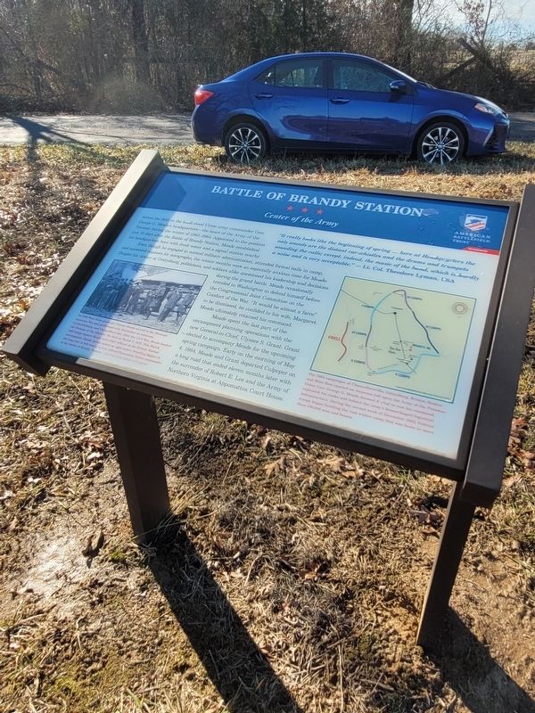
Battle of Brandy Station
Center of the Army
Even though he engaged in normal military administration, attended formal balls in camp, and answered requests for autographs, the winter months were an especially anxious time for Meade. Despite his victory at Gettysburg, politicians and soldiers alike questioned his leadership and decisions during the grand battle. Meade occasionally traveled to Washington to defend himself before the Congressional Joint Committee on Conduct of the War. "It would be almost a farce" to be dismissed, he confided to his wife, Margaret. Meade ultimately retained his command.
Meade spent the last part of the encampment planning operations with the new General-in-Chief, Ulysses S. Grant. Grant elected to accompany Meade for the upcoming spring campaign. Early on the morning of May 4, 1864, Mead and Grant departed Culpeper on a long road that ended eleven months later with the surrender of Robert E. Lee and the Army of Northern Virginia at Appomattox Court House.
Erected by American Battlefield Trust.
Topics. This historical marker is listed in this topic list: War, US Civil. A significant historical date for this entry is May 4, 1864.
Location. 38° 31.38′ N, 77° 52.064′ W. Marker is in Brandy Station, Virginia, in Culpeper County. Marker is on St. James Church Road (Virginia Route 676) west of Beverly Ford Road (Virginia Route 677), on the right when traveling west. At Stop 2 on the St. James Church Brand Station battlefield trail. There is a small pull off near the marker. Touch for map. Marker is in this post office area: Brandy Station VA 22714, United States of America. Touch for directions.
Other nearby markers. At least 8 other markers are within walking distance of this marker. St. James Episcopal Church (within shouting distance of this marker); The 1863-64 Winter Encampment (about 700 feet away, measured in a direct line); a different marker also named Battle of Brandy Station (approx. 0.2 miles away); a different marker also named The Battle of Brandy Station (approx. 0.2 miles away); Lee's Forgotten Warrior (approx. 0.2 miles away); a different marker also named The 1863-64 Winter Encampment (approx. 0.3 miles away); a different marker also named The Battle of Brandy Station (approx. 0.4 miles away); a different marker also named The Battle of Brandy Station (approx. 0.9 miles away). Touch for a list and map of all markers in Brandy Station.
Credits. This page was last revised on January 2, 2024. It was originally submitted on January 1, 2024, by Mike McKeown of Baltimore, Maryland. This page has been viewed 57 times since then. Photo 1. submitted on January 1, 2024, by Mike McKeown of Baltimore, Maryland. • Bernard Fisher was the editor who published this page.
