Pelzer in Anderson County, South Carolina — The American South (South Atlantic)
White Plains School
Photographed by Tom Bosse, December 30, 2023
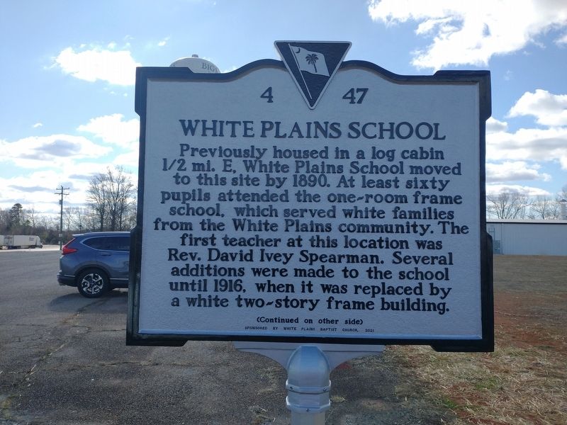
1. White Plains School Marker
Previously housed in a log cabin 1/2 mi. E, White Plains School moved to this site by 1890. At least sixty pupils attended the one-room frame school, which served white families from the White Plains community. The first teacher at this location was Rev. David Ivey Spearman. Several additions were made to the school until 1916, when it was replaced by a white two-story frame building.
Erected 2021 by Sponsored by White Plains Baptist Church. (Marker Number 4 47.)
Topics. This historical marker is listed in this topic list: Education. A significant historical year for this entry is 1890.
Location. 34° 40.4′ N, 82° 31.984′ W. Marker is in Pelzer, South
this page online

Regionally, this marker is in Upstate and in the Greater Greenville-Spartanburg Area. It is also in the American South and specifically in the Deep South. Globally, it is in North America, the Western Hemisphere, the Western World, and the Anglosphere. Historically, it finds itself in what was once the territory of the Mississippian Culture, one of the original Thirteen Colonies, one of the Confederate States of America, and the Antebellum South.
Other nearby markers. At least 8 other markers are within 5 miles of this marker, measured as the crow flies: Mt. Pisgah Baptist Church (approx. 4 miles away); Joe Ronnie Hooper (approx. 4.6 miles away); Pelzer Schools (approx. 4.6 miles away); Pelzer Public Schools World War II Memorial (approx. 4.6 miles away); James Lawrence Orr (approx. 4.6 miles away); William Edgeworth Beattie (approx. 4.7
Photographed by Tom Bosse, December 30, 2023
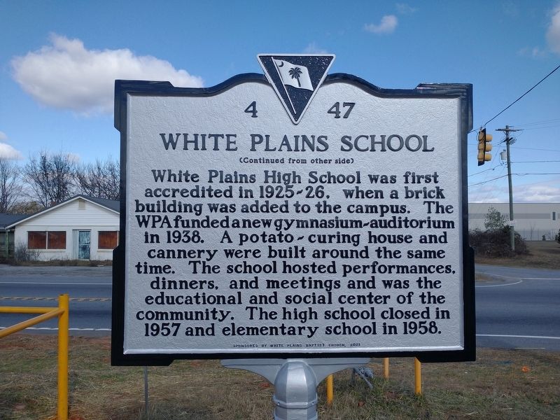
2. White Plains School Marker (Back)
Photographed by Tom Bosse, December 30, 2023
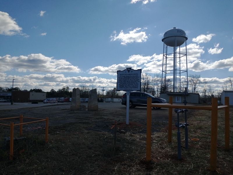
3. White Plains School Marker
Credits. This page was last revised on January 5, 2024. It was originally submitted on January 1, 2024, by Tom Bosse of Jefferson City, Tennessee. This page has been viewed 796 times since then and 74 times this year. Photos: 1, 2, 3. submitted on January 1, 2024, by Tom Bosse of Jefferson City, Tennessee. • Bernard Fisher was the editor who published this page.
