Near Honea Path in Abbeville County, South Carolina — The American South (South Atlantic)
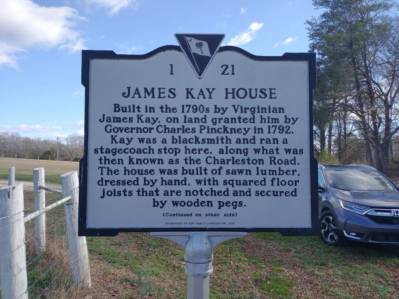
James Kay House
⎯⎯⎯
Gentsville
Photographed by Tom Bosse, December 30, 2023
1. James Kay House / Gentsville Marker
Built in the 1790s by Virginian James Kay, on land granted him by Governor Charles Pinckney in 1792. Kay was a blacksmith and ran a stagecoach stop here, along what was then known as the Charleston Road. The house was built of sawn lumber, dressed by hand, with squared floor joists that are notched and secured by wooden pegs.
Erected 2017 by Sponsored by Kay Family Association. (Marker Number 1 21.)
Topics. This historical marker is listed in this topic list: Settlements & Settlers. A significant historical year for this entry is 1792.
Location. 34° 26.985′ N, 82° 20.948′ W. Marker is near Honea Path, South Carolina, in Abbeville County. It is on South Carolina Route 252 east of Legion Lake Road, on the left when traveling
this page online

Regionally, this marker is in Upstate. It is also in the American South and specifically in the Deep South. Globally, it is in North America, the Western Hemisphere, the Western World, and the Anglosphere. Historically, it finds itself in what was once the territory of the Mississippian Culture, one of the original Thirteen Colonies, one of the Confederate States of America, and the Antebellum South.
Other nearby markers. At least 8 other markers are within 3 miles of this marker, measured as the crow flies: Broadmouth Baptist Church (approx. 0.6 miles away); Chiquola Baptist Church Bell (approx. 2.2 miles away); The Story of the Bell (approx. 2.2 miles away); David Greer, Sr. (approx. 2.4 miles away); Chiquola Mill Monument (approx. 2.4 miles away); Carnegie Library (approx. 2½ miles away); Honea Path (approx. 2½ miles away); Panoramic Journey Through Honea Path (approx. 2½ miles away). Touch for a list and map of all markers in Honea Path.
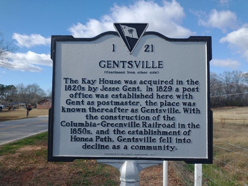
Photographed by Tom Bosse, December 30, 2023
2. James Kay House / Gentsville Marker
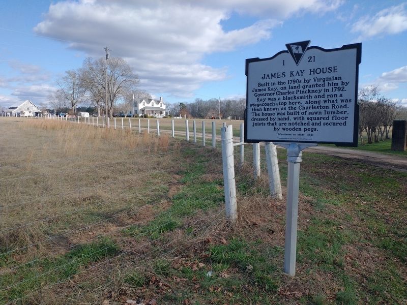
Photographed by Tom Bosse, December 30, 2023
3. James Kay House / Gentsville Marker
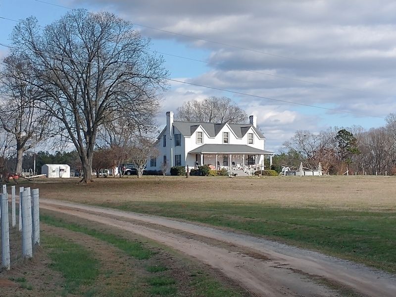
Photographed by Tom Bosse, December 30, 2023
4. James Kay House
Credits. This page was last revised on January 25, 2025. It was originally submitted on January 1, 2024, by Tom Bosse of Jefferson City, Tennessee. This page has been viewed 1,042 times since then and 208 times this year. Photos: 1, 2, 3, 4. submitted on January 1, 2024, by Tom Bosse of Jefferson City, Tennessee. • Bernard Fisher was the editor who published this page.
