
Edgefield in Edgefield County, South Carolina — The American South (South Atlantic)
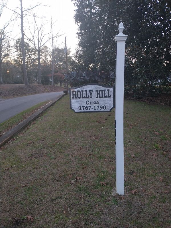
Holly Hill
Photographed by Tom Bosse, December 30, 2023
1. Holly Hill Marker
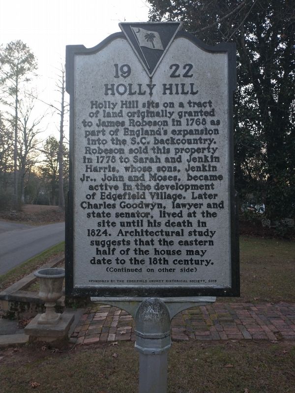
Holly Hill sits on a tract of land originally granted to James Robeson in 1768 as part of England’s expansion into the S.C. backcountry. Robeson sold this property in 1778 to Sarah and Jenkin Harris, whose sons, Jenkin Jr., John and Moses, became active in the development of Edgefield Village. Later Charles Goodwyn, lawyer and state senator, lived at the site until his death in 1824. Architectural study suggests that the eastern half of the house may date to the 18th century.
Erected 2015 by Sponsored by Edgefield County Historical Society. (Marker Number 19 22.)
Topics. This historical marker is listed in this topic list: Notable Buildings. A significant historical year for this entry is 1768.
Location. 33° 47.117′ N,
this page online

Regionally, this marker is in Greater Augusta and in the Midlands. It is also in the American South and specifically in the Deep South. Globally, it is in North America, the Western Hemisphere, the Western World, and the Anglosphere. Historically, it finds itself in what was once the territory of the Mississippian Culture, one of the original Thirteen Colonies, one of the Confederate States of America, and the Antebellum South.
Other nearby markers. At least 8 other markers are within walking distance of this marker: Richard Tutt House / Tutt Cemetery (approx. ¼ mile away); Martha M. Rich Building (approx. 0.4 miles away); The Plantation House (approx. 0.4 miles away); Henry Christian Shooting & George D. Tillman (approx. 0.4 miles away); Mercantile Building (approx. 0.4 miles away); Edgefield County Veterans Memorial
Photographed by Tom Bosse, December 30, 2023
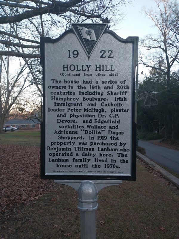
2. Holly Hill Marker (Back)
Photographed by Tom Bosse, December 30, 2023
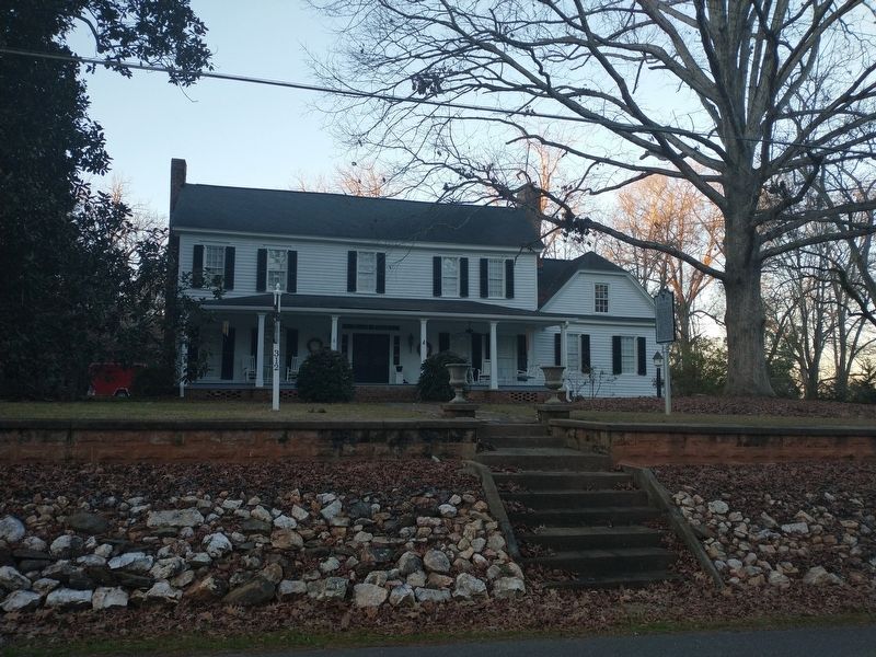
3. Holly Hill Marker
Photographed by Tom Bosse, December 30, 2023
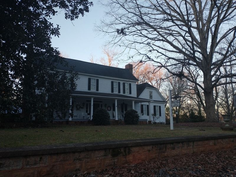
4. Holly Hill Marker
Photographed by Tom Bosse, December 30, 2023
5. Holly Hill
Credits. This page was last revised on January 2, 2024. It was originally submitted on January 1, 2024, by Tom Bosse of Jefferson City, Tennessee. This page has been viewed 264 times since then and 24 times this year. Photos: 1, 2, 3, 4, 5. submitted on January 1, 2024, by Tom Bosse of Jefferson City, Tennessee. • Bernard Fisher was the editor who published this page.
