Oakville in Halton Region, Ontario — Central Canada (North America)
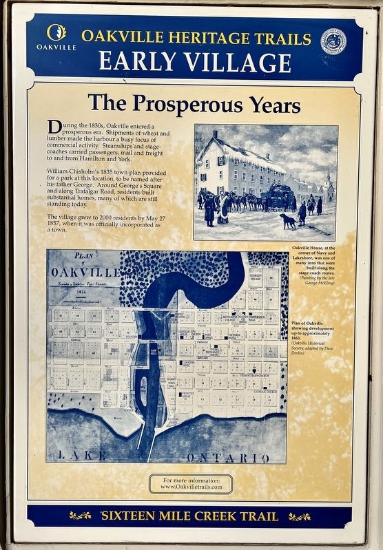
The Prosperous Years
— Sixteen Mile Creek Trail —
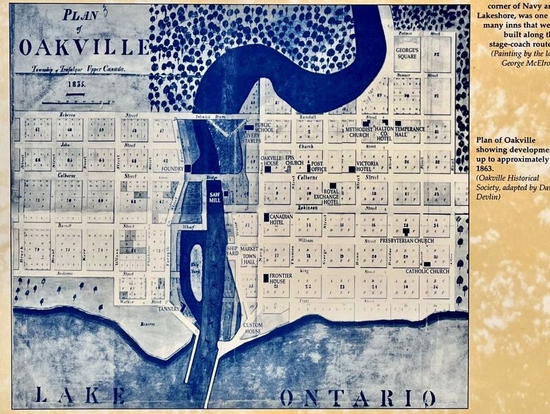
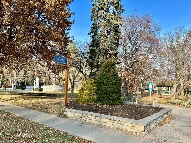
William Chisholm's 1835 town plan provided for a park at this location, to be named after his father George. Around George's Square and along Trafalgar Road, residents built substantial homes, many of which are still standing today.
The village grew to 2000 residents by May 27 1857, when it was officially incorporated as a town.
Erected by Town of Oakville.
Topics. This historical marker is listed in these topic lists: Industry & Commerce • Parks & Recreational Areas. A significant historical date for this entry is May 27, 1857.
Location. 43° 26.951′ N, 79° 40.154′ W. Marker is in Oakville, Ontario, in Halton Region. Marker is at the intersection of Trafalgar Road and Sumner Avenue, on the right when traveling north on Trafalgar Road. The marker is at the south-west corner of Georges’s Square park. Touch for map. Marker is at or near this postal address: 179 Trafalgar Road, Oakville ON L6J L6J, Canada. Touch for directions.
Other nearby markers. At least 8 other markers are within walking distance of this marker. An Isolated Township (here, next to this marker); Oakville and Trafalgar, 1806-1870 (here, next to this marker); Churches Schools and Taverns (here, next to this marker); Heritage Homes of Trafalgar Road and George's Square (here, next to this marker); The Underground Railroad (here, next to this marker); The Lorne Scots (about 90 meters away, measured in a direct line); Hunter-Gatherer and Fisher People (9,000 BC to AD 500) (approx. 0.4 kilometers away); The First Horticultural People (AD 500 to 1610) (approx. 0.4 kilometers away). Touch for a list and map of all markers in Oakville.
Credits. This page was last revised on January 3, 2024. It was originally submitted on January 2, 2024, by Tim Boyd of Hamilton, Ontario. This page has been viewed 42 times since then. Photos: 1, 2, 3, 4, 5. submitted on January 2, 2024, by Tim Boyd of Hamilton, Ontario. • Andrew Ruppenstein was the editor who published this page.
