Woodbridge in Woodbridge Township in Middlesex County, New Jersey — The American Northeast (Mid-Atlantic)
Woodbridge Township COVID-19 Victims Memorial
Photographed by John A. Lande, January 1, 2024
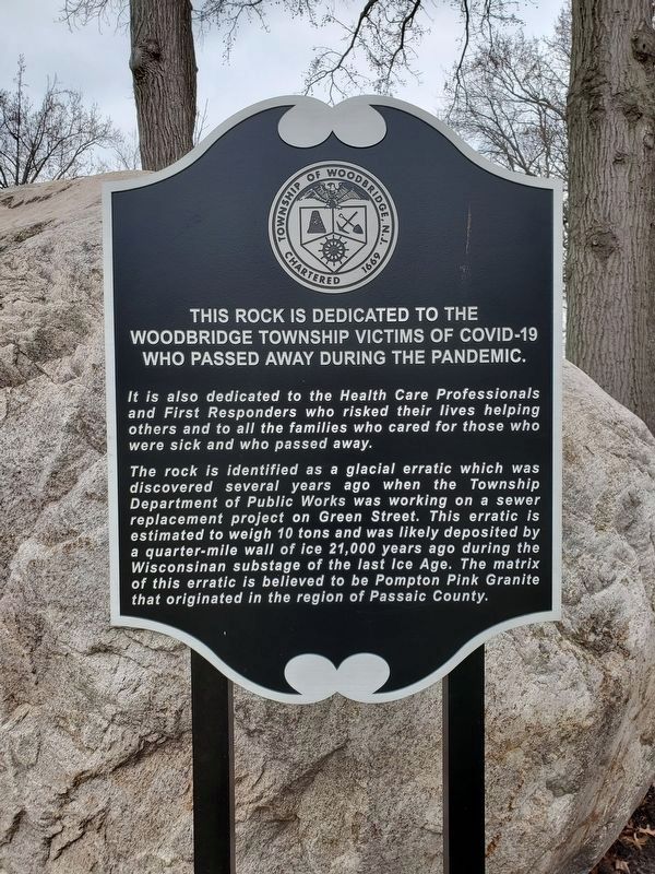
1. Woodbridge Township COVID-19 Victims Memorial
This rock is dedicated to the Woodbridge Township victims of COVID-19 who passed away during the pandemic.
It is also dedicated to the Health Care Professionals and First Responders who risked their lives helping others and to all the families who cared for those who were sick and who passed away.
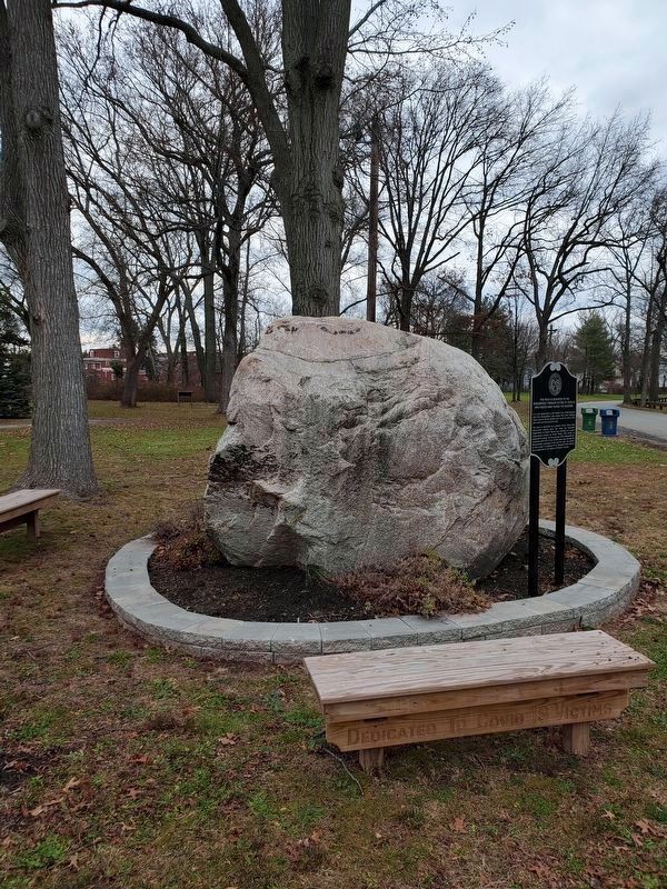
The rock is identified as glacial erratic which was discovered several years ago when the Township Department of Public Works was working on a sewer replacement project on Green Street. This erratic is estimated to weigh 10 tons and was likely deposited by a quarter-mile wall of ice 21,000 years ago during the Wisconsinan substage of the last Ice Age. The matrix of this erratic is believed to be Pompton Pink Granite that originated in the region of Passaic County.
Topics. This historical marker and memorial is listed in these topic lists: Disasters • Heroes.
Location. 40° 33.367′ N, 74° 16.993′ W. Marker is in Woodbridge Township, New Jersey, in Middlesex County. It is in Woodbridge. It is at the intersection of Amboy Avenue (New Jersey Route 35) and North Park Drive,
this page online

Regionally, this marker and memorial is in New Jersey’s Central Jersey, in Greater Princeton, and in the New York City Metropolitan Area. It is also in the American Northeast, in the Mid-Atlantic, and on the Eastern Seaboard. Globally, it is in the North Atlantic Region, North America, the Western Hemisphere, the Western World, and the Anglosphere. Historically, it finds itself in what was once New Netherland and also one of the original Thirteen Colonies.
Other nearby markers. At least 8 other markers are within walking distance of this marker: Cross Keys Tavern (within shouting distance of this marker); The Parish Community of St. James (within shouting distance of this marker); Shinn-Woodbridge Airport (within shouting distance of this marker); Woodbridge (within shouting distance of this marker); Adath Israel Synagogue (within shouting distance of this marker); Methodist Episcopal Church & Parsonage
Photographed by John A. Lande, January 1, 2024
2. Woodbridge Township COVID-19 Victims Memorial Rock
Credits. This page was last revised on March 11, 2026. It was originally submitted on January 2, 2024, by John A. Lande of Woodbridge, New Jersey. This page has been viewed 1,343 times since then and 38 times this year. Photos: 1, 2. submitted on January 2, 2024, by John A. Lande of Woodbridge, New Jersey. • Michael Herrick was the editor who published this page.
