Oakville in Halton Region, Ontario — Central Canada (North America)
The Underground Railroad
— Sixteen Mile Creek Trail —
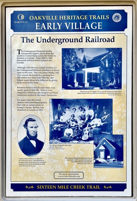
The Underground Railroad secretly transported fugitive slaves from the southern United States across the border to freedom in Canada. From 1820 to 1865 thousands of black slaves escaped into Canada.
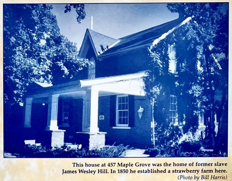
Although Oakville was a small terminus for the Underground Railroad, hundreds of blacks came to this area. One was James Wesley Hill, who crossed the border in a packing box. Hill settled on a farm near Oakville, and helped many slaves who followed by giving them work on his farm.
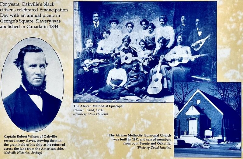
Relations between blacks and whites were mostly good in Oakville. Schools were integrated, church groups mingled and black employees worked in the town's businesses.
For years, Oakville's black citizens celebrated Emancipation Day with an annual picnic in George's Square. Slavery was abolished in Canada in 1834.
Erected by Town of Oakville.
Topics. This historical marker is listed in these topic lists: Abolition & Underground RR • African Americans. A significant historical year for this entry is 1820.
Location. 43° 26.952′ N, 79° 40.151′ W. Marker is in Oakville, Ontario, in Halton Region. Marker is at the intersection of Trafalgar Road and Sumner Avenue, on the right when traveling north on Trafalgar Road. Touch for map. Marker is at or near this postal address: 179 Trafalgar Rd, Oakville ON L6J L6J, Canada. Touch for directions.
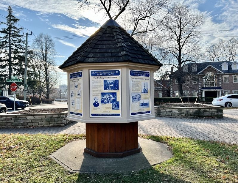
Other nearby markers. At least 8 other markers are within walking distance of this marker. Heritage Homes of Trafalgar Road and George's Square (here, next to this marker); Churches Schools and Taverns (here, next to this marker); The Prosperous Years (here, next to this marker); An Isolated Township (here, next to this marker); Oakville and Trafalgar, 1806-1870 (here, next to this marker); The Lorne Scots (about 90 meters away, measured in a direct line); Hunter-Gatherer and Fisher People (9,000 BC to AD 500) (approx. 0.4 kilometers away); The First Horticultural People (AD 500 to 1610) (approx. 0.4 kilometers away). Touch for a list and map of all markers in Oakville.
More about this marker. The marker is at the south-west corner of George’s Square
Credits. This page was last revised on January 3, 2024. It was originally submitted on January 2, 2024, by Tim Boyd of Hamilton, Ontario. This page has been viewed 42 times since then. Photos: 1, 2, 3, 4. submitted on January 2, 2024, by Tim Boyd of Hamilton, Ontario. • Andrew Ruppenstein was the editor who published this page.


