Near Fort Towson in Choctaw County, Oklahoma — The American South (West South Central)
A Community Well
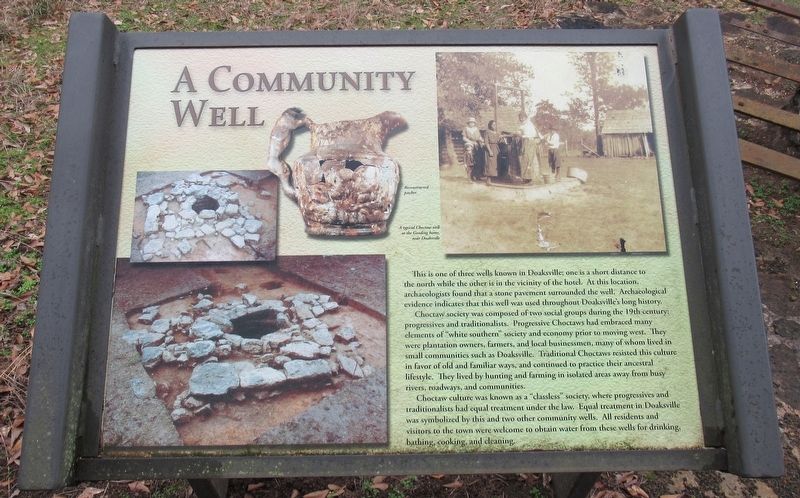
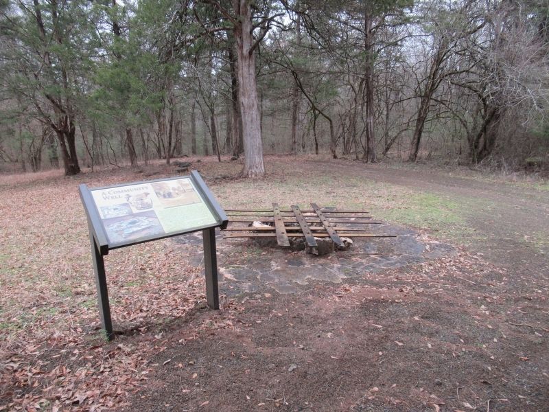
This is one of three wells known in Doaksville; one is a short distance to the north while the other is in the vicinity of the hotel. At this location, archaeologists found that a stone pavement surrounded the well. Archaeological evidence indicates that this well was used throughout Doaksville's long history.
Choctaw society was composed of two social groups during the 19th century: progressives and traditionalists. Progressive Choctaws had embraced many elements of "white southern" society and economy prior to moving west. They were plantation owners, farmers, and local businessmen, many of whom lived in small communities such as Doaksville. Traditional Choctaws resisted this culture in favor of old and familiar ways, and continued to practice their ancestral lifestyle. They lived by hunting and farming in isolated areas away from busy rivers, roadways, and communities.
Choctaw culture was known as a "classless" society, where progressives and traditionalists had equal treatment under the law. Equal treatment in Doaksville was symbolized by this and two other community wells. All residents and visitors to the town were welcome to obtain water from these wells for drinking, bathing, cooking, and cleaning.
Erected by Oklahoma Historical Society.
Topics. This historical marker is listed in these topic lists: Architecture • Native Americans • Settlements & Settlers.
Location. 34° 2.094′ N, 95° 16.196′ W. Marker is near Fort Towson, Oklahoma, in Choctaw County. Marker can be reached from Red Road, 0.8 miles north of Tram Road, on the right when traveling north. The marker is located along the Old Doaksville Townsite History Trail at the back of the Fort Towson Cemetery. Stairs on the back wall of the cemetery leads to the trail. Touch for map. Marker is in this post office area: Fort Towson OK 74735, United States of America. Touch for directions.
Other nearby markers. At least 8 other markers are within walking distance of this marker. Doaksville (here, next to this marker); Stand Watie’s Surrender (here, next to this marker); The Preservation of Doaksville (a few steps from this marker); Notice! (within shouting distance of this marker); The Doaksville Hotel (within shouting distance of this marker); A Store on Commercial Row (within shouting distance of this marker); Why The Mound? (within shouting distance of this marker); A Kitchen? (within shouting distance of this marker). Touch for a list and map of all markers in Fort Towson.
Credits. This page was last revised on January 3, 2024. It was originally submitted on January 3, 2024, by Jason Armstrong of Talihina, Oklahoma. This page has been viewed 37 times since then. Photos: 1, 2. submitted on January 3, 2024, by Jason Armstrong of Talihina, Oklahoma. • Devry Becker Jones was the editor who published this page.

